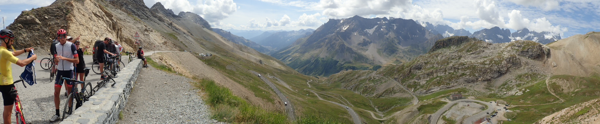
The 35 km ride up to the Galibier pass at 2642 m and the 36 km descent from there into Briançon are so full of impressions that it is hard to process fully just hours after completing it. Such a unique, and – for lack of a better word – extended experience. It has everything that is fascinating about riding a bicycle, just so much more of it than anything else. 2200 m of uncompromising ascent with a stretch of downhill into Valloire. The true paradigm climb that captures the essence of cycling.
Reality Check
So you think getting up at 5:40 should get you a head start? Sorry but your clothes and tent are soaked from yesterday’s torrential rain so you waste precious time cleaning it up. Roll out of the campsite to finally start that Big Day? Ha, the front brake doesn’t pull like at all! What the heck, I installed new pads just for this tour. Must have fried them on the 17 % sections on the descent from the Colombier. More time wasted exchanging those pads. Down to one pair in reserve, not good.
In the Zone
Getting up to the Col du Telegraphe is by no means just a prelude as it is among the consistently hardest segments of the whole climb. It’s just after eight o’clock and I’m already getting dropped by numerous roadies who started out at a similar time. The sight of the Telegraphe is a relief; after a short photo session I headed into the tourist magnet Valloire. There I realized I had grossly overestimated the need for drinking water. Fearing the worst I had filled both bottles plus the water bladder to the brim. Turns out there are numerous opportunities to refill along the road so it should be doable with just two bottles alone. Too bad, I lugged four kilograms of water up that mountain for nothing.
After Valloire the slope does get slightly easier for a while, around six percent, which allowed me to better enjoy the scenery as it got ever more spectacular at the same rate as oxygen levels began to drop. At around 2200 m noticeable dizziness set in especially when doing anything out of the ordinary, e. g. reaching behind me to get a water bottle. Close to the top I then caught a couple from Germany again who had overtaken me earlier. Payback, ha!
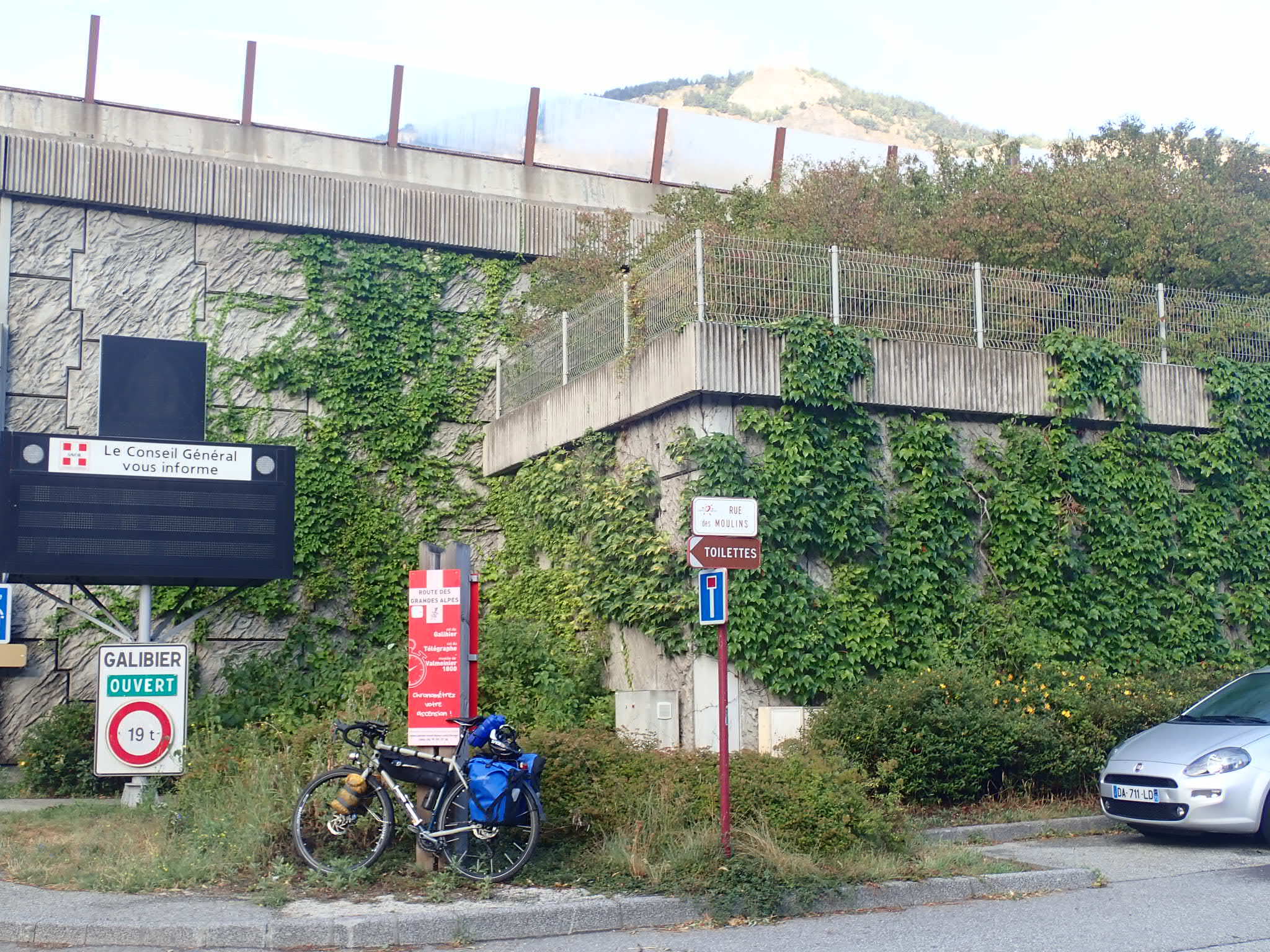
A crowd of cyclists and motorcyclists greeted me at the col. Everyone stood in line for the obligatory summit pic with the famous road signs in the background. Without the tunnel just below the pass, motorists would have a hard time navigating that crowd. I had a chat with a tourer from Lille who was on his way home from Antibes; he was packing a bit lighter than me and was rather surprised at the weight of my gear. Well I made it up there anyways, didn’t I?
In the High Alps
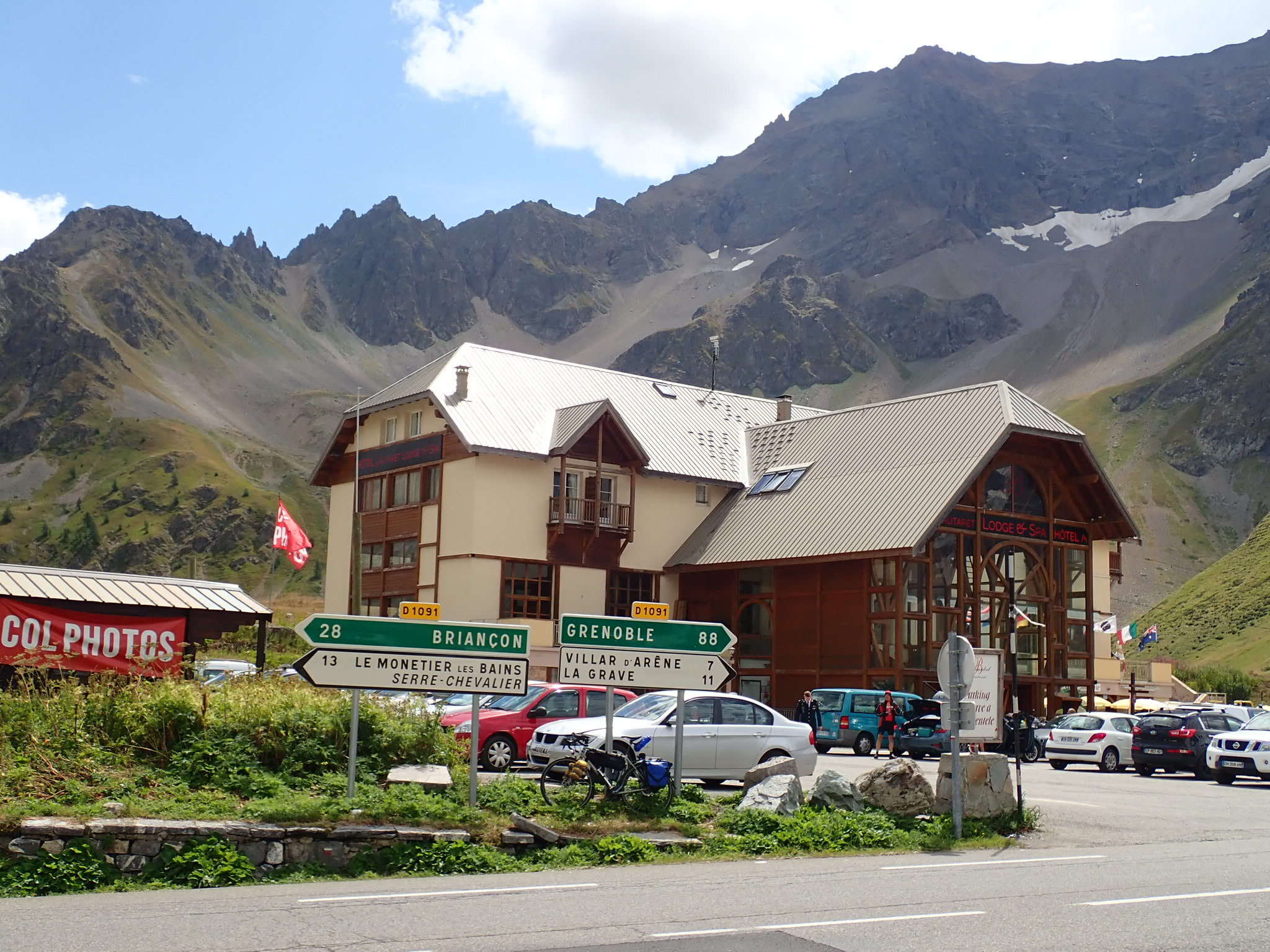
The col marks the border both between the Savoie departement and the Hautes-Alpes, and between the Rhône-Alpes region and the Provence-Alpes-Côte d’Azur, so I more or less officially crossed into the south of France today. Yeah! And what an entrance it was: down to the Col du Lautaret at 2057 m I endured the usual switchback chicanery but from there on down into Briançon the descent was just beautiful. Straight, no switchbacks at all, a gentle slope so you rarely if ever have to use the brakes. You couldn’t ask for a better way of finishing this monster of a climb; 10/10 would ride the Col in that direction again.
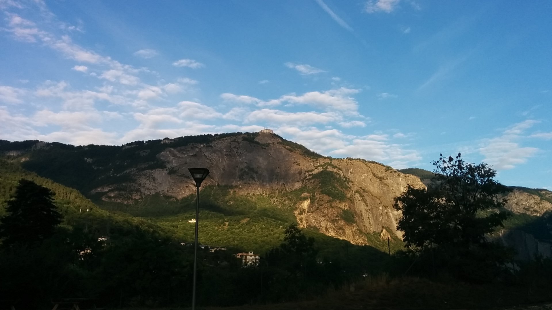
The weather is being inconsistent again. I arrived at the Les Alberts campsite with the first drops of rain but managed to get the tent pitched before those dark clouds emptied their payload. Now apparently the sun has come out again, just that thunder is still rolling somewhere close by. Let’s hope this back and forth will be over soon.
gallery