Guadalquivir
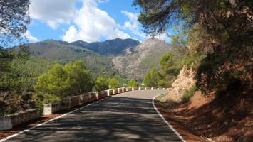
On my way to the Tranco de Beas reservoir I finally encountered a couple of bike tourists again, for the first time since Angliru! Central Spain is clearly underrated by the tribe. The road along the reservoir was lined with pine trees again which made for a magnificent setting. A number of campsites line the shore which I unfortunately had to pass on today.
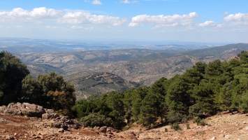
From the reservoir I followed the Guadalquivir upstream almost to its source and then crossed into the Sierra de Cazorla over the Puerto de las Palomas. This is a long and not overly difficult climb which above 1000 m offers a stunning panorama of the Guadalquivir valley. The pass was the highest altitude I’e been to since the Navacerrada which feels like it was months ago.
Sierra de Cazorla
The moment I rode over the pass the scenery changed drastically. Gone were the pines, instead every square centimeter to the horizon was covered in olive groves. This Andalusian obsession with oil must be part of the Emirate of Cordoba heritage; at least it should net the country a seat on OPEC.
The arid climate makes for excellent cycling because the dry heat is much more pleasant than say the humidity of Asturias. Even on steeper slopes I never got as drenched in sweat as up in the north. Nevertheless the Garmin agains estimates a whopping ten liters of water loss through transpiration. Thanks to electrolyte tablets I managed to keep up with that loss and I don’t run the risk of desiccating on two wheels.
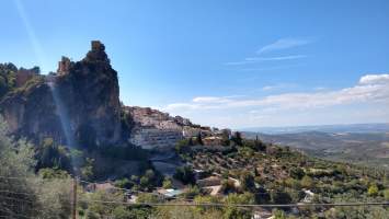
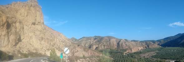
The Sierra de Cazorla is like Basque country on steroids: a succession of smaller hills but scaled upwards so the climbs are much longer by comparison. The descents are a as well, of course, and for the first time since Asturias I dropped below 500 m of altitude today – only to ride up to 800 m again immediately after. The valley of the Guadania Menor turned out to be a spectacular gorge whose desert colorscheme was enhanced at that late hour by the low sun; they could film a spaghetti western here.
162 km with 2480 m of net altitude gain. One of the harder days so far.


