Crossing into France
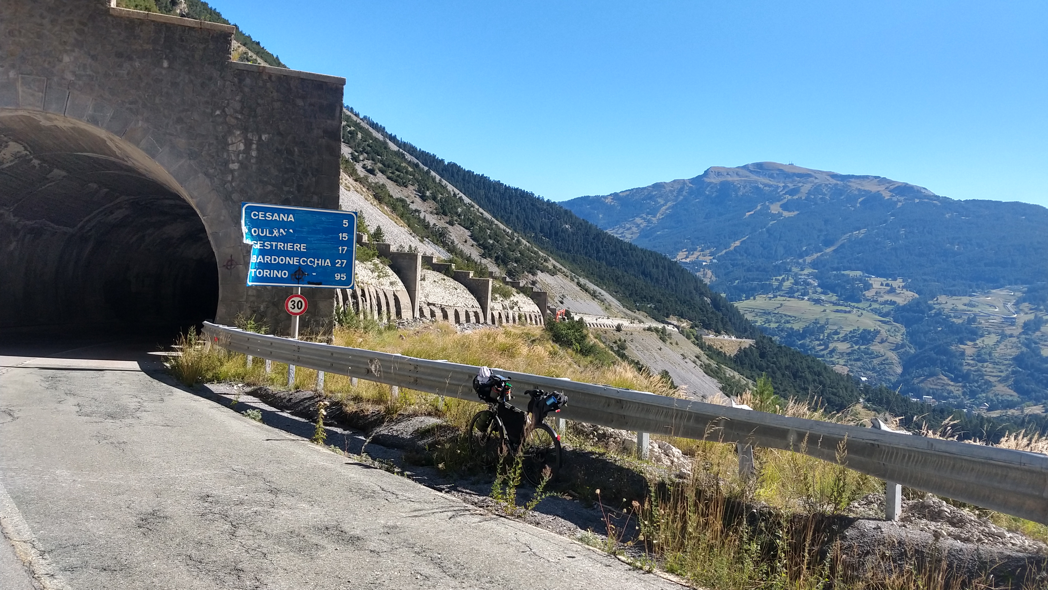
After a night at altitude in Sestriere – thin air makes for great sleep – I rolled down to Cesana for breakfast. Turns out a 700 m descent is an excellent way to start the day. Climbing the Montgenèvre from the Italian side was not nearly as tough as I imagined three years ago when I came down from France. Shielded from the sun in the shade of the old tunnel it was a rather pleasant experience and I reached Briançon before noon for the main challenge of the day.
On n’est pas bien ? Paisible, a la fraiche
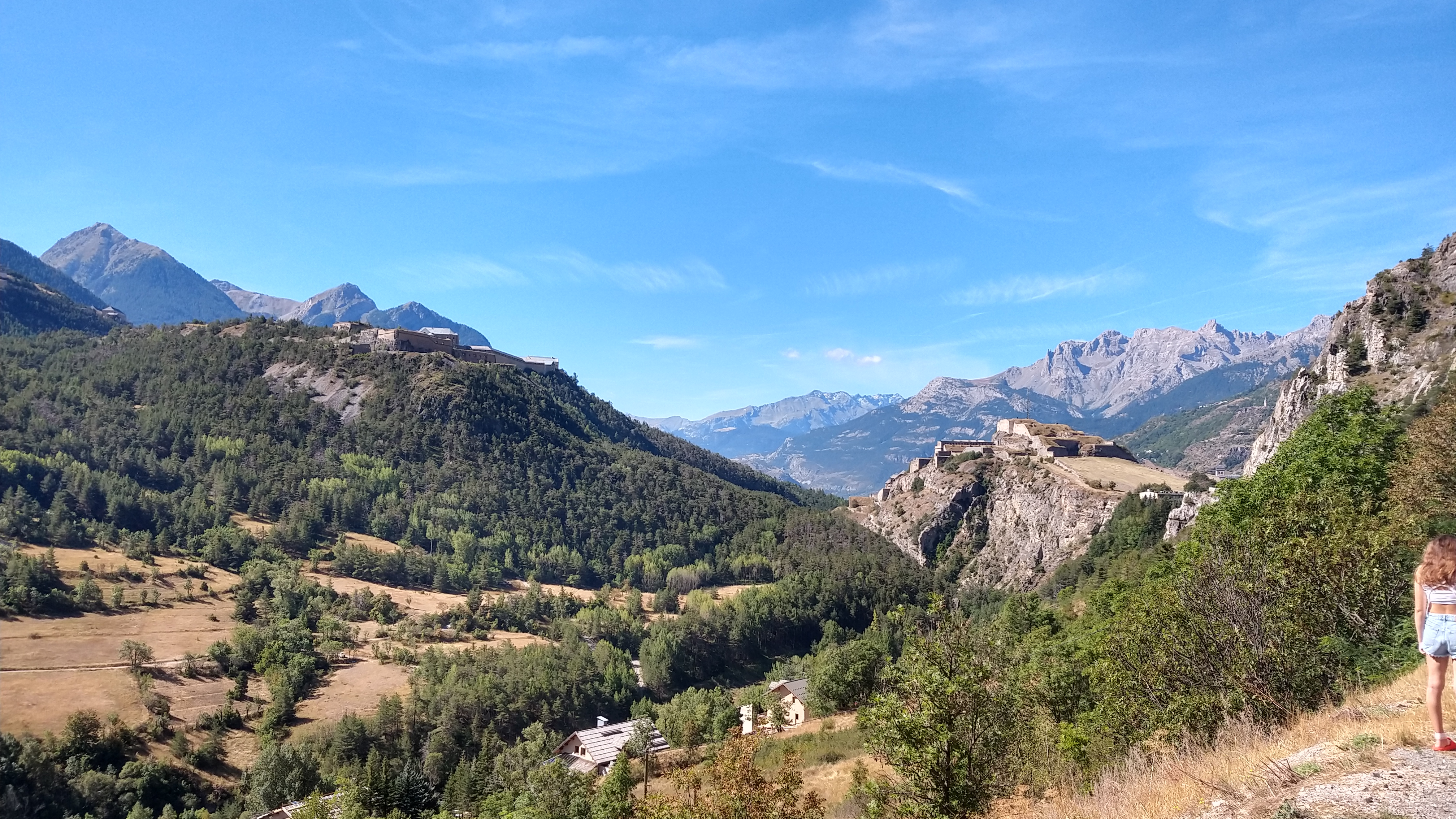
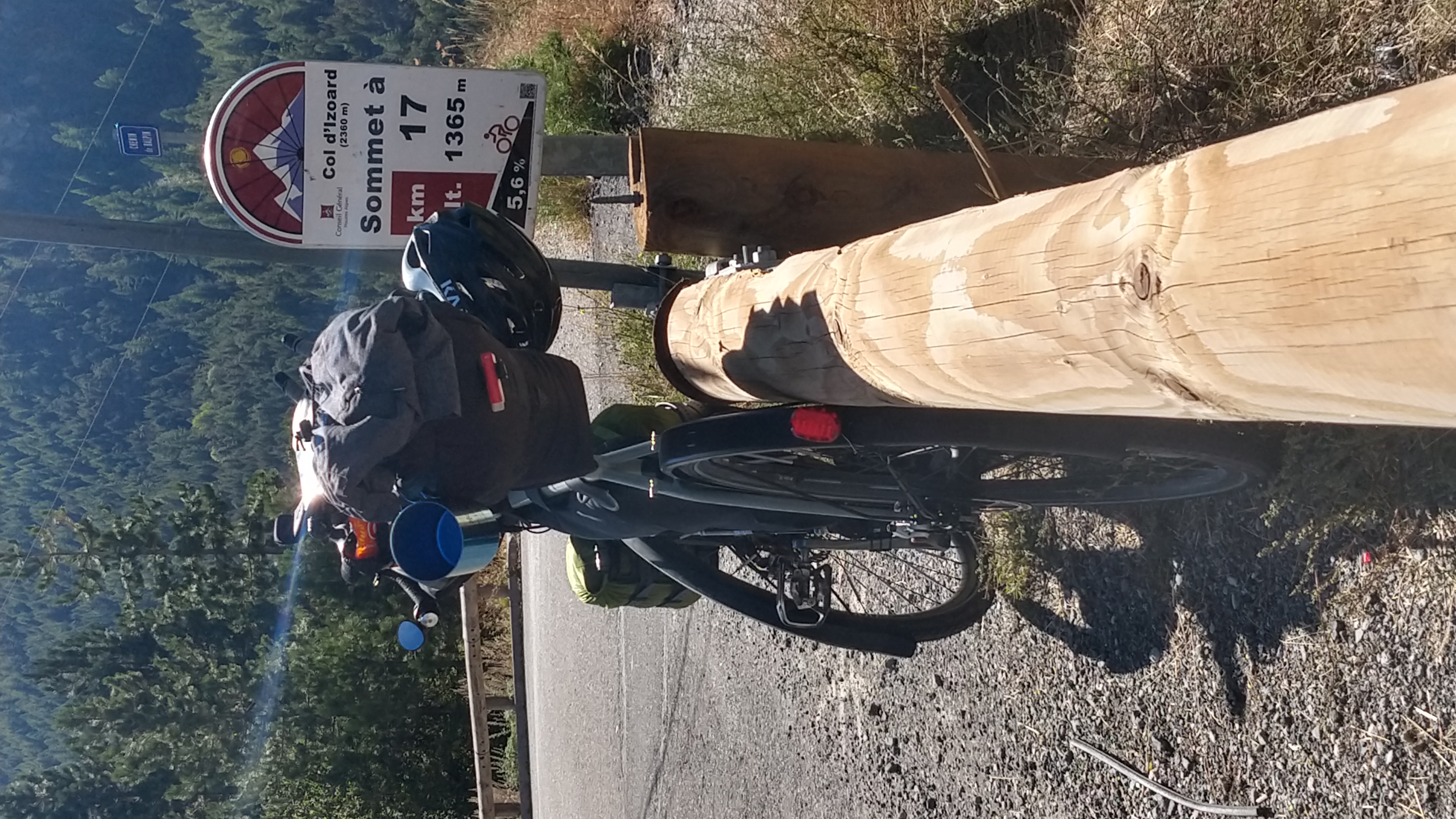
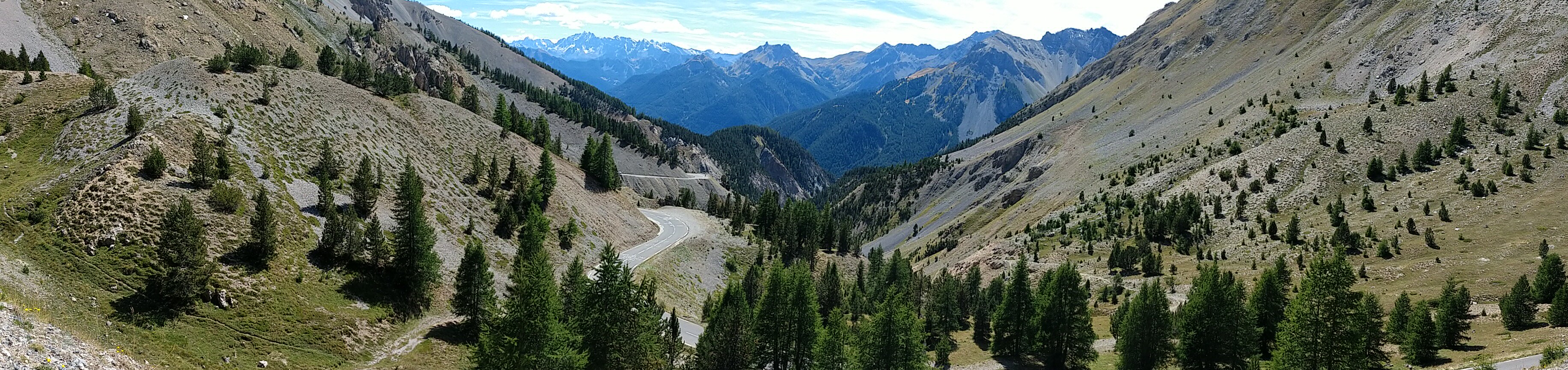
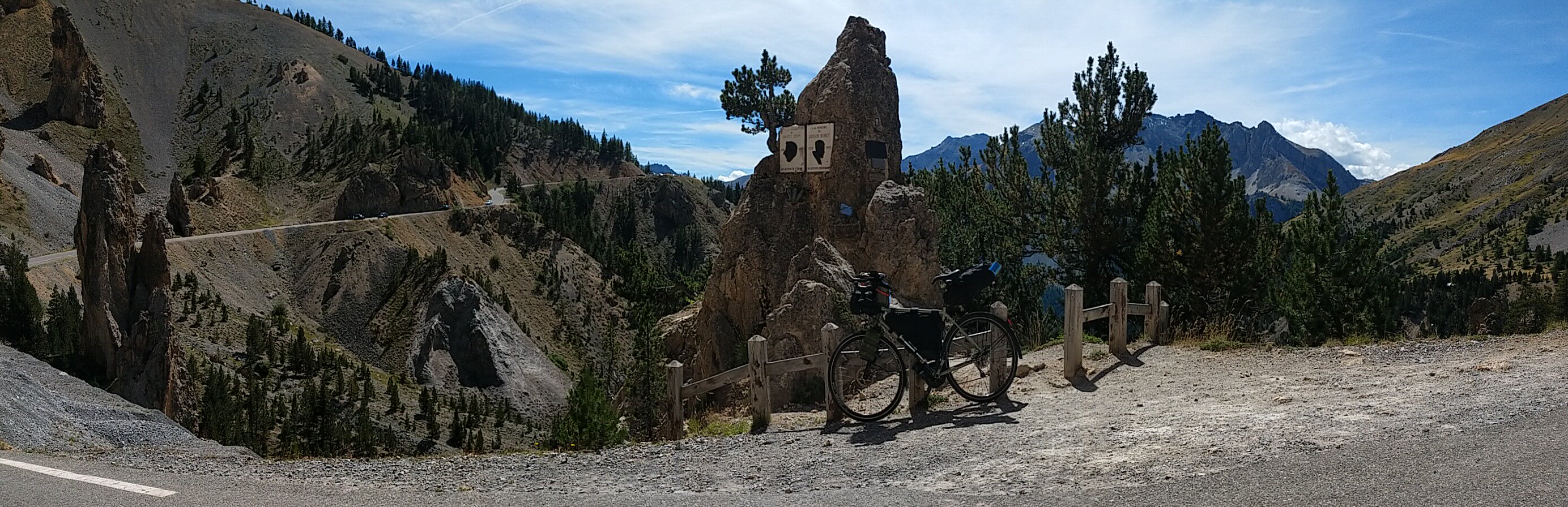
After a second breakfast under the Briançon citadel I headed south to the Izoard route which starts just inside the town. There’s about 1300 m to climb from there with an easier section in the lower part that features a few short downhills. As one climbs the scenery gets more and more stunning and the difficulty ramps up ever so slightly to top out on those iconic switchbacks in the final kilometers before the summit. The road crosses the treeline at around 1500 m and the vegetation gets scarcer with every vertical meter until at some point all there’s left is rocks.
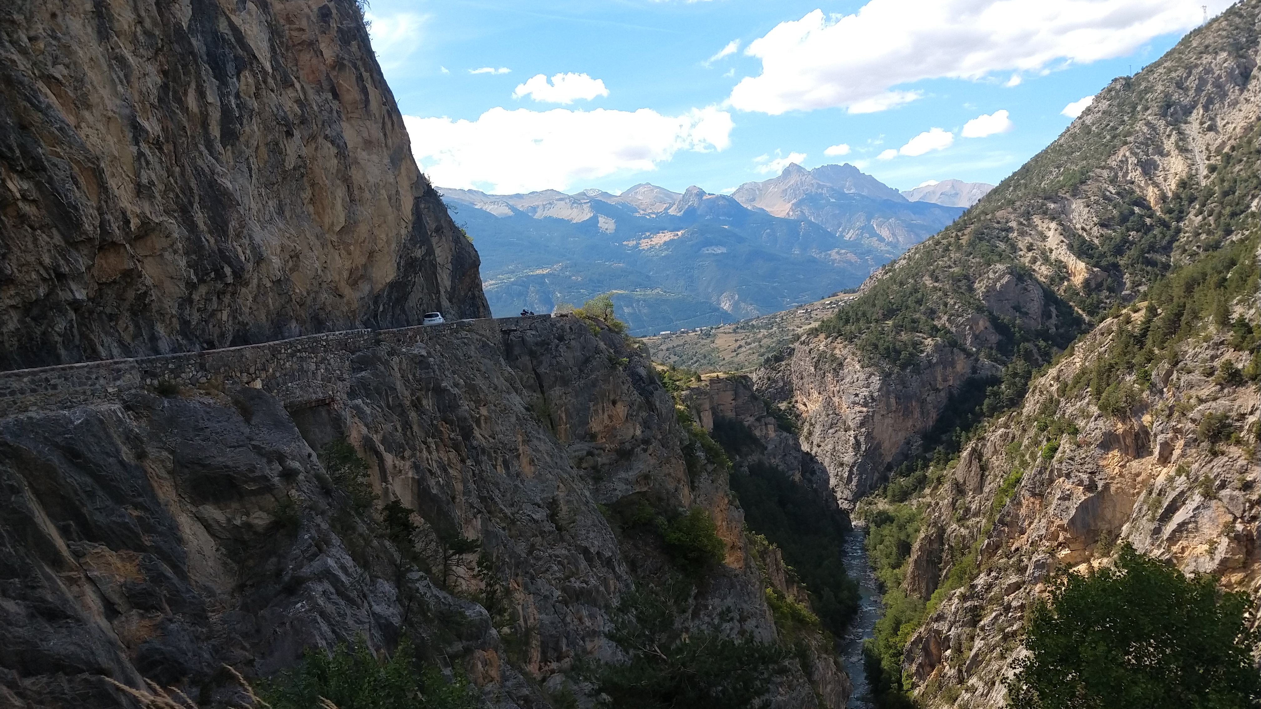
The summit was less busy than I expected. A few cyclists and a flock of motorcyclists gathered around the obelisk to take their summit pictures. The museum was closed, unfortunately; I guess this means it’s off season in Hautes Alpes at last. The descent on the southern road was superb with its iconic narrow sections cut into the flank of a crag, the tunnels and the Durance gorges further down. Without a doubt among the top three most beautiful climbs of this continent.
Minding the Gap
I still had something left in the tank when I arrived at the Embrun reservoir so I decided to go for the detour via Gap, descending into the town as tradition dictates.
All in all I made some decent progress today covering a distance of 149 km despite the two major climbs, and 2210 m of altitude gain, but a net negative balance as I descended 3460 m.
gps tracks
gallery