Prelude
To get that out of the way, the weather wasn't too bad all things considered. No thunderstorms, no blizzards, no lightning strikes, no furious winds -- just lots of rain. The meteorologists got that right, kudos, but then they overpromised on the tailwind which sadly didn't show up today.
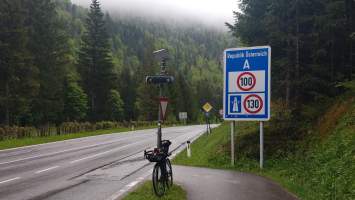
Getting out of Munich proved more involved than it should be thanks to hordes of SUVs that were congesting all the roads near a Pullach school. Apart from that the first part of this trip was rather uneventful. I chose the easy route to Austria via Lenggries, after all the point was to leave the country as quickly as possible. It worked and I crossed the border on schedule around 11 am.
Austria
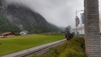
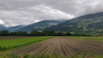
Lined by steep mountain slopes with peaks that loom over the densely populated flat strech in the middle, the Inn valley is like the low budget remake of Valais. The valley occupied a bit of a thankless spot in the middle of my route that I had to get through to reach the main climb of the day. Nevertheless I had a great time down there thanks to a lack of rain, low traffic and the occasional well made bike route.
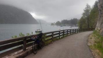
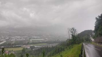
To avoid wasting time I bypassed Innsbruck by exiting the valley via Aldrans. To even get to the pass road one first has to climb up to about the same altitude as the Achensee on the other side of the valley. That road features some spectacular vistas down on the city, but not in the conditions of today with thick rain clouds hanging low in the valley. Which I was heading right into middle of.
Brenner
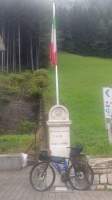
The Brenner is famous for its location on the bedrock of white clouds -- well, it certainly gave that impression today. It had started raining when I reached 750 m altitude and hasn't stopped since, and the temperature dropped to eight degrees. On top of the dysmal weather the road turned out to be rather busy; could be people avoiding the congestion (or the toll) on the pass motorway. Exactly what you need after cycling 160 km …
As mountain passes go, the Brenner ranks easy to trivial with consistently low gradients and a peak altitude of about half that of the “big ones”. No surprise the Romans chose to build a highway here, there's just no better spot for crossing the Alps when all you have is an ox cart. Due to the low altitude the valley is habitable north and south of the pass with a town right on highest point of the pass. With its countless shops it reminds of the Col de Montgenevre
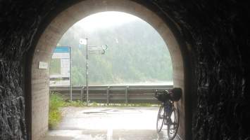
The descent to Sterzing on the Italian side surprised with a superb percorso ciclabile featuring tunnel fun and gentle gradients on account of its construction on a retired railway track. It deviated quite a bit from my planned route but I kept going anyways as it was such a joy to ride. No better way to conclude the day!
Overall a decent day on the bike. 193 km distance traveled with 2200 vertical meters in just over ten hours. Now if someone could do something about that rain that'd be great!
