Trondheim
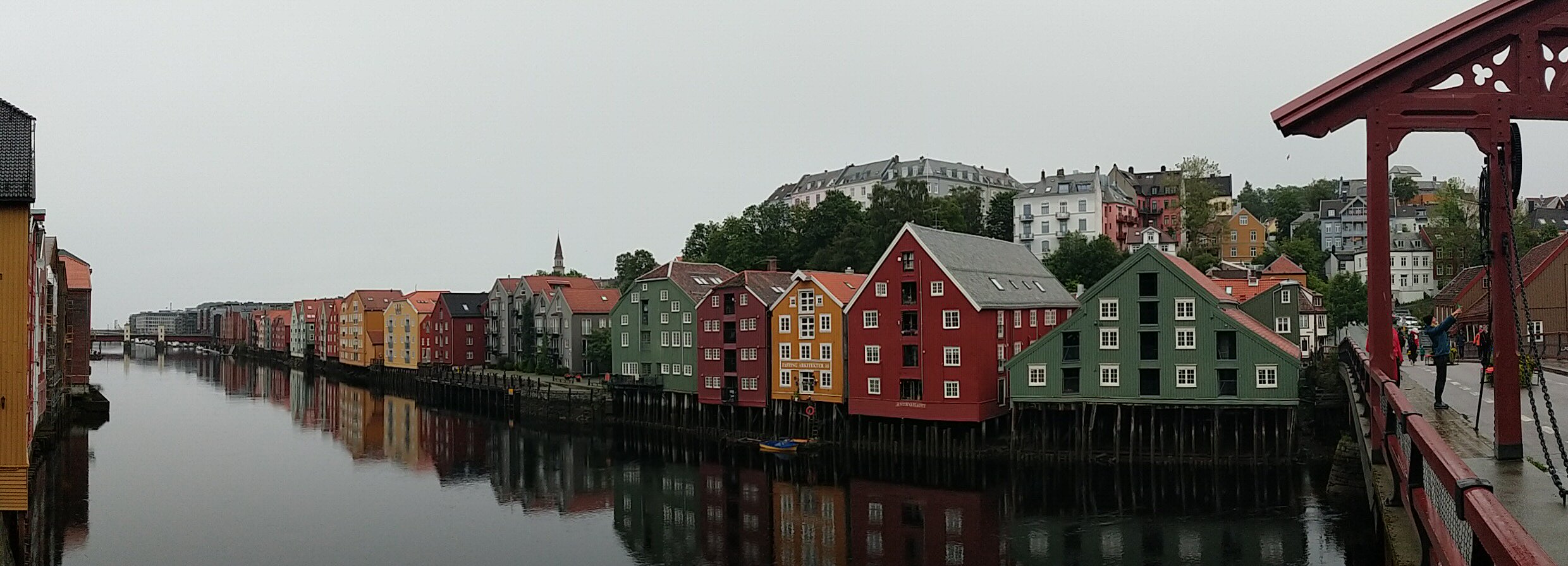
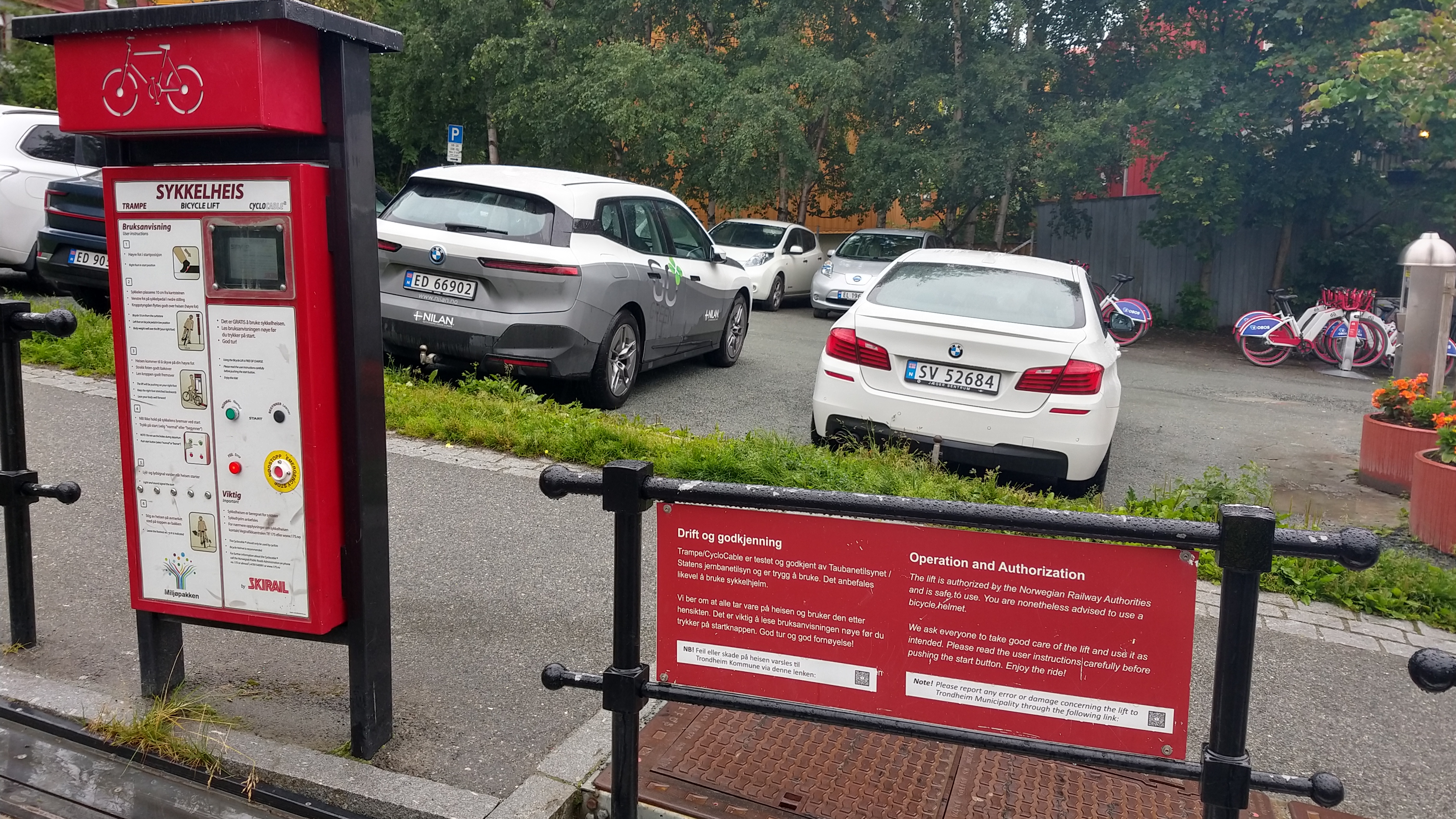
I spent the first hour or so sightseeing in Trondheim. Apart from a visit to the old port with its historical waterfront houses I had a ride on the Trampe bicycle lift on my todo list. I managed to locate the contraption but sadly it was out of service. Leaving it for next time.
On the downhill from Heimdal into Klett I witnessed the e-cyclist in front of me almost get taken out by a deer that leapt out of the roadside bushes like half a meter in front of the poor lady. Not the first or last deer I've seen on this trip but definitely the cockiest of them.
The Orkland and the Troll Home
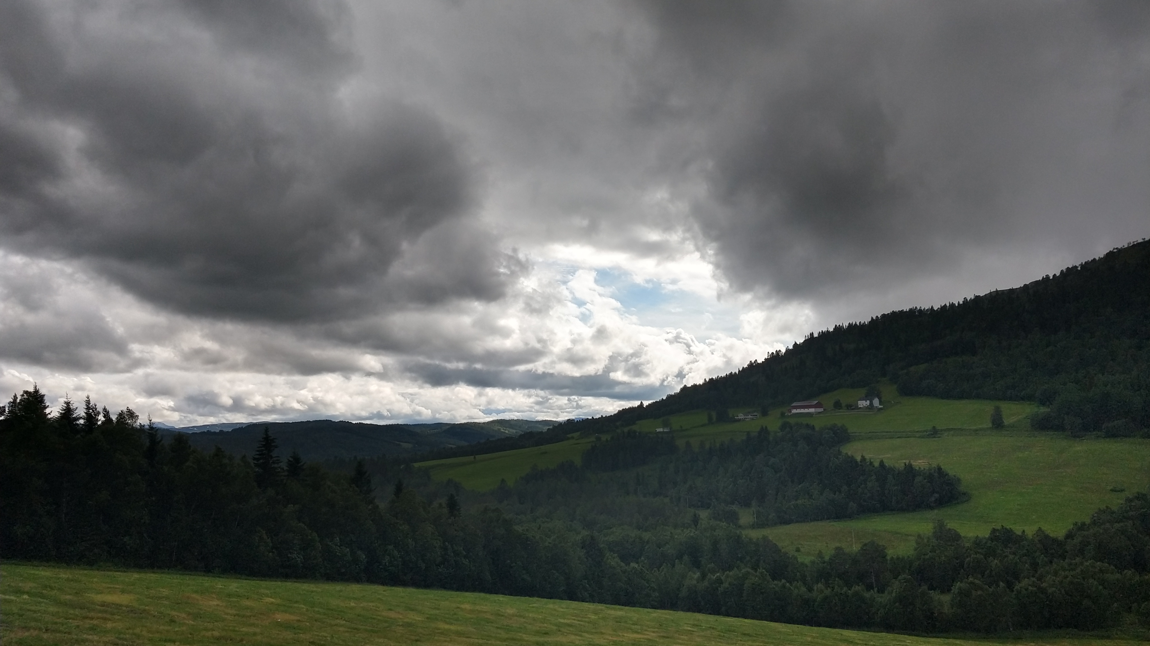
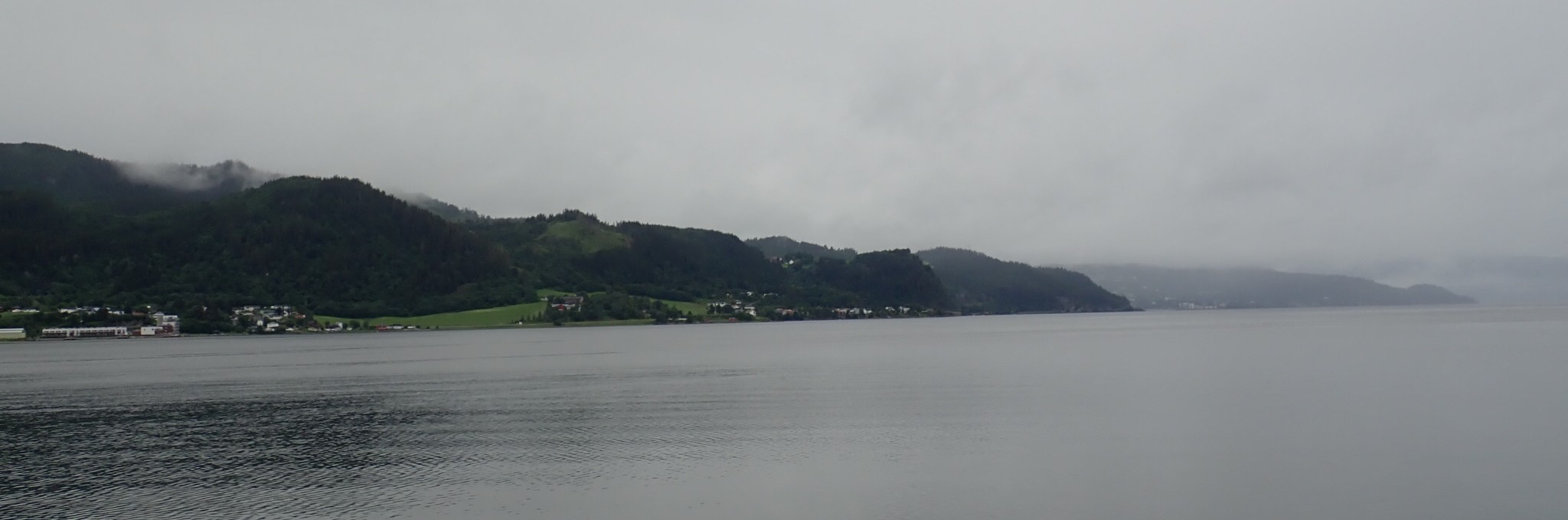
About 30 km southwest of Trondheim the Orkland lies with its aptly named capital Orkanger. The naming scheme notwithstanding I found the locals to resemble ordinary humans. I was fortunate enough to stay clear of Uruk-hai patrols and took care not to refill my bidons from any of the streams running down into Orkdalen. I adored the scenery of this Orc country -- a long river valley lined by a mid-size hill range. The hours I spent there were quite dry and free of wind too, so all in all a refreshingly pleasant start into the day.
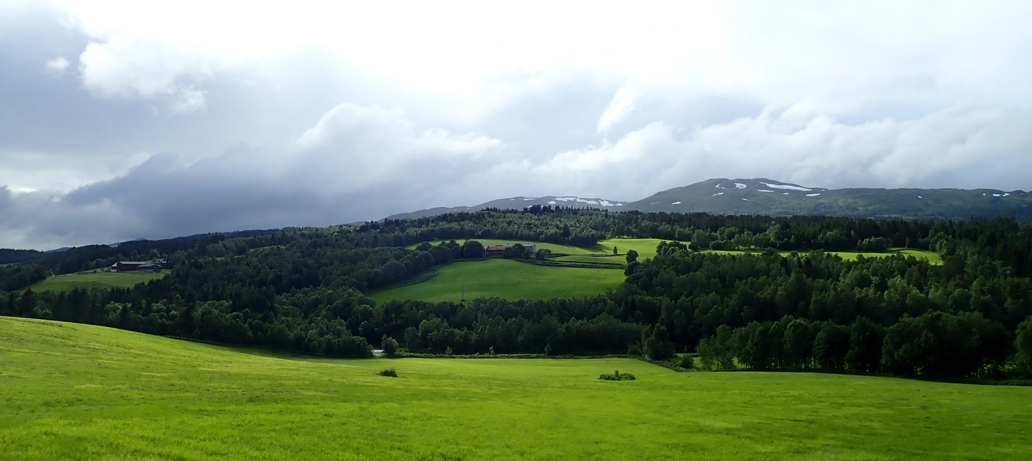
As flat as the entry to the Orkland was, as hilly it got on the other end. A number of steep climbs, some of them on smooth sterrato, brought me out of the land of the orcs into the home of the trolls. No troll sighting today though, they're probably stuck in their caves avoiding the sun. I mean, they would have been had the sky been clearer. The cloud cover today only allowed for a gloomy hint at the fact that it was actually daytime. Rain and a strong headwind ensued soon after I reached the Surna valley, instantly killing off the euphoria I had from the mountains. By the time I reached the village of Skei near the Surnadalsfjord I was completely soaked again.
Going Blind
Well, "blind" may be a bit dramatic but it should convey the importance of elevation data for planning ahead. Unfortunately southwest of Trondheim until around Oslo latitude those data are missing from the SRTM elevation data set that Brouter's routing is based on. In fact the northern bits of Norway I've visited so far were added to the SRTM info from a third party source which explains the somewhat bizarre location of the hole in the data.
In other words, from now on the Garmin won't show any altitude info any more for a few days. Which frankly sucks, as there's some of the biggest climbs of Norway ahead. Thankfully there's sites like cycle.travel that fill in those holes with data from elsewhere but in my experience it tends to overestimate altitude gain significantly. In any case I'm curious if I can get comfortable again with that oldschool, low-tech way of riding.
gallery