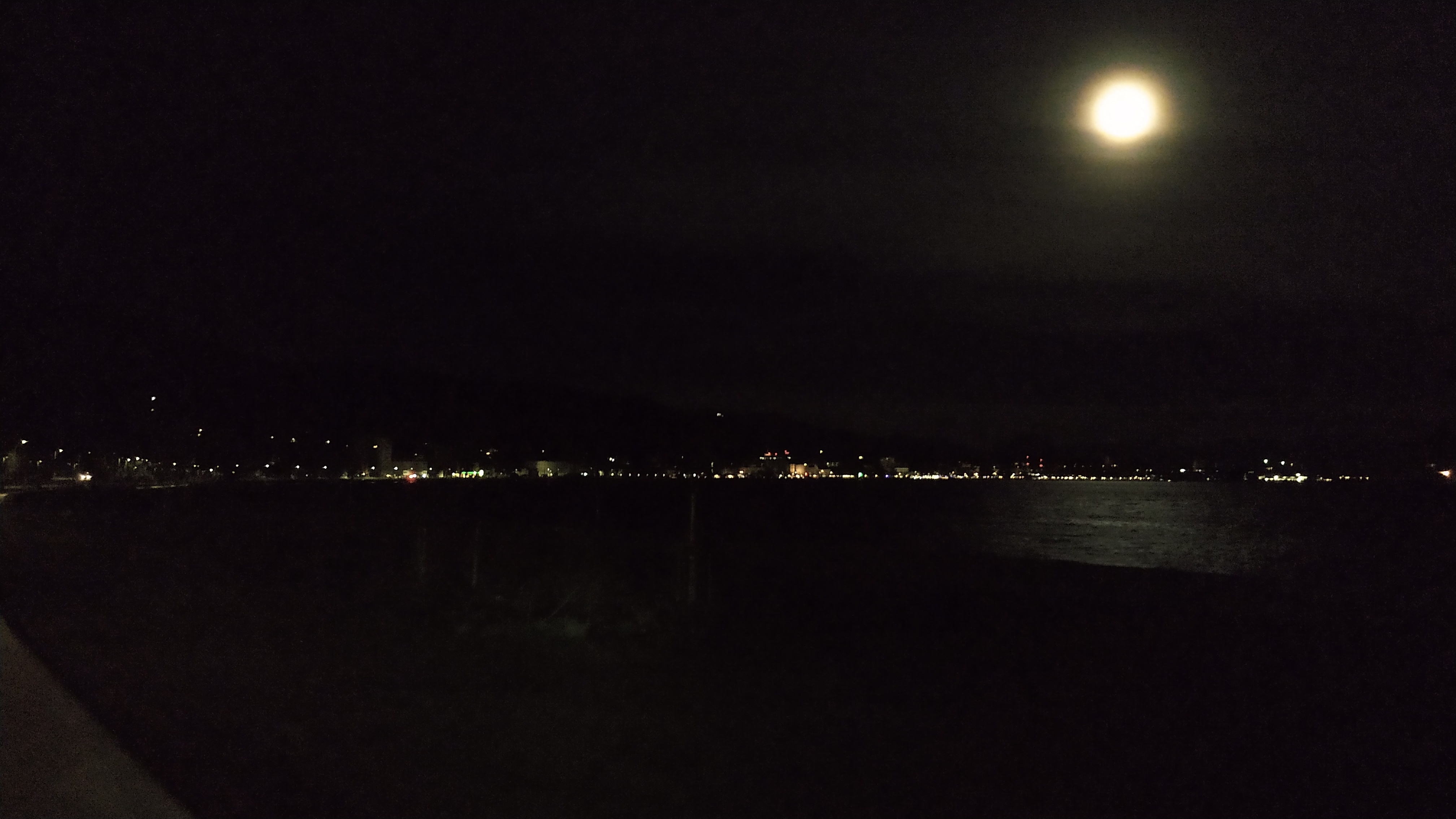
This Easter surprised with incredible weather so I used this climate anomaly for an early test of legs, a short trip around Lake Constance, up the Arlberg and into Tyrol. In just over two days – 53-ish hours really – I rode 647 km and climbed 5426 m in freezing cold, crushing headwind, meters of snow, an epic sand cloud, and of course lots of mountains.
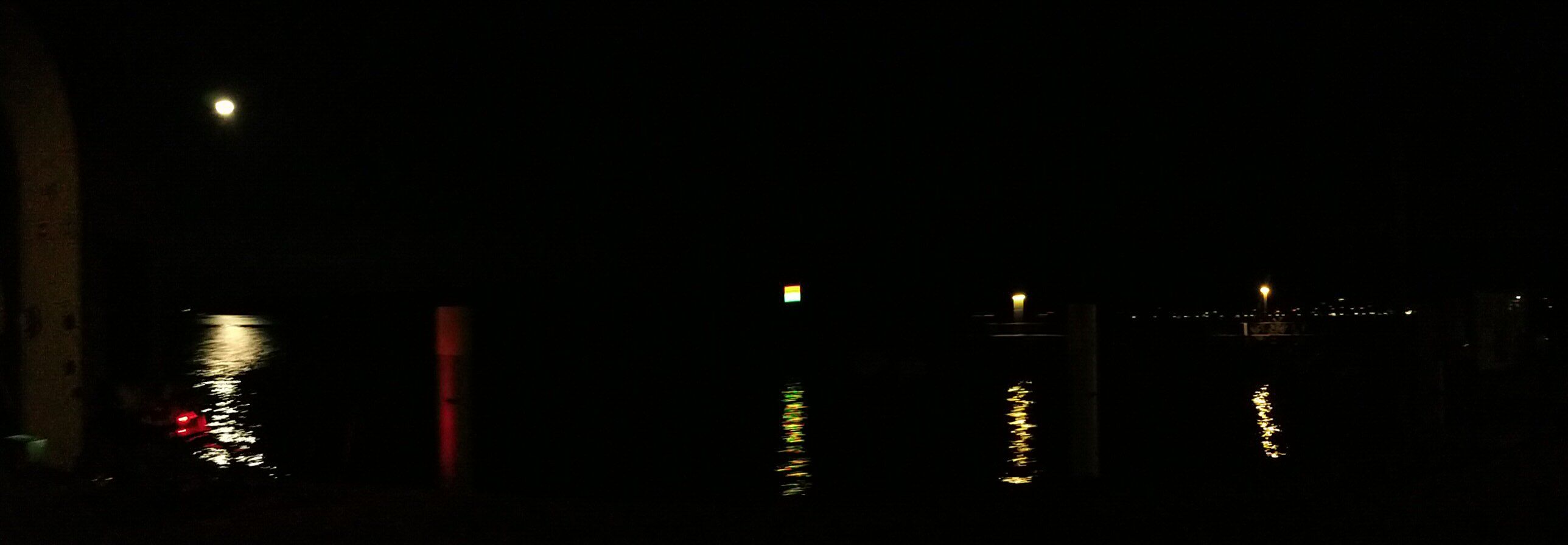
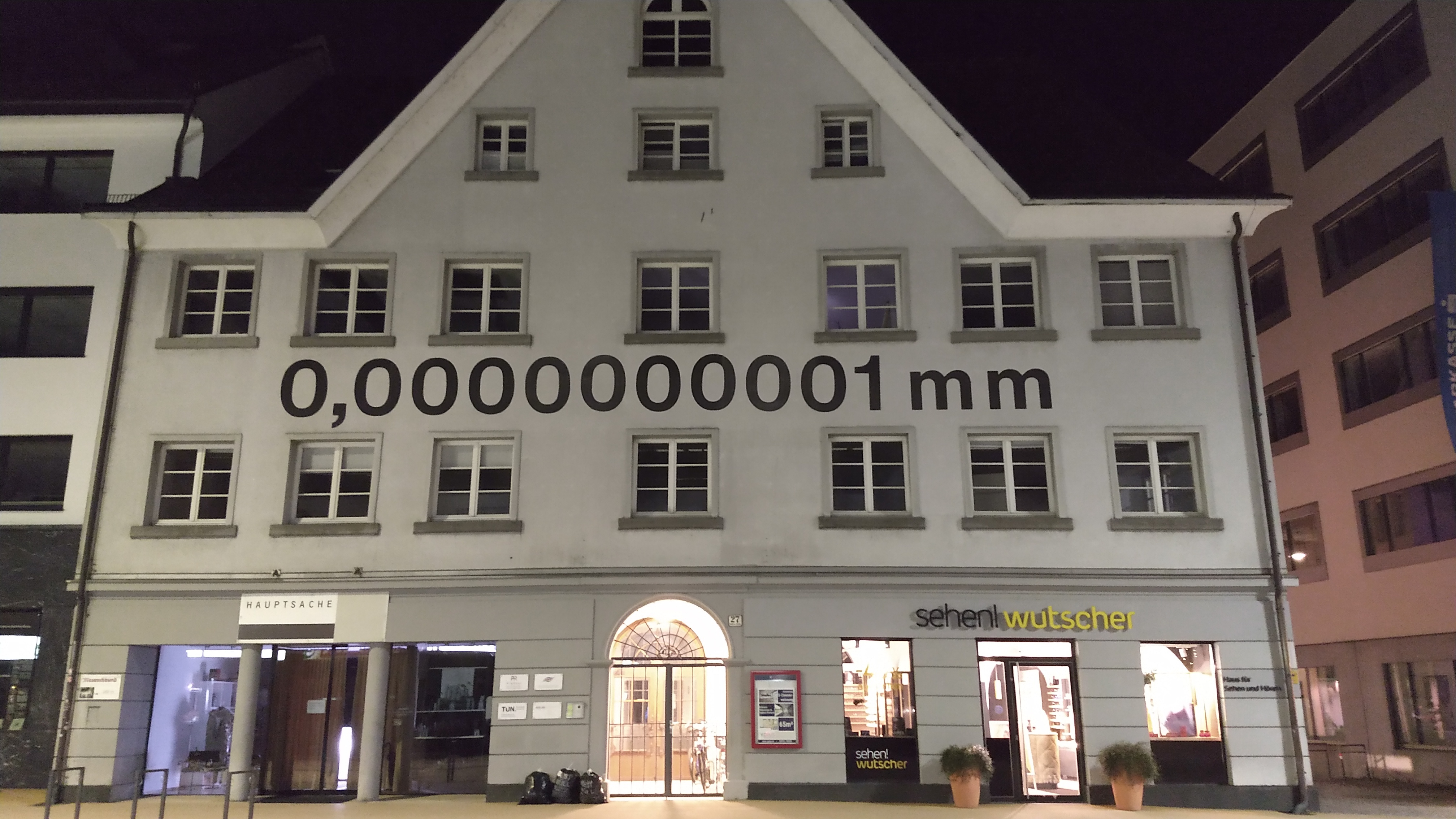
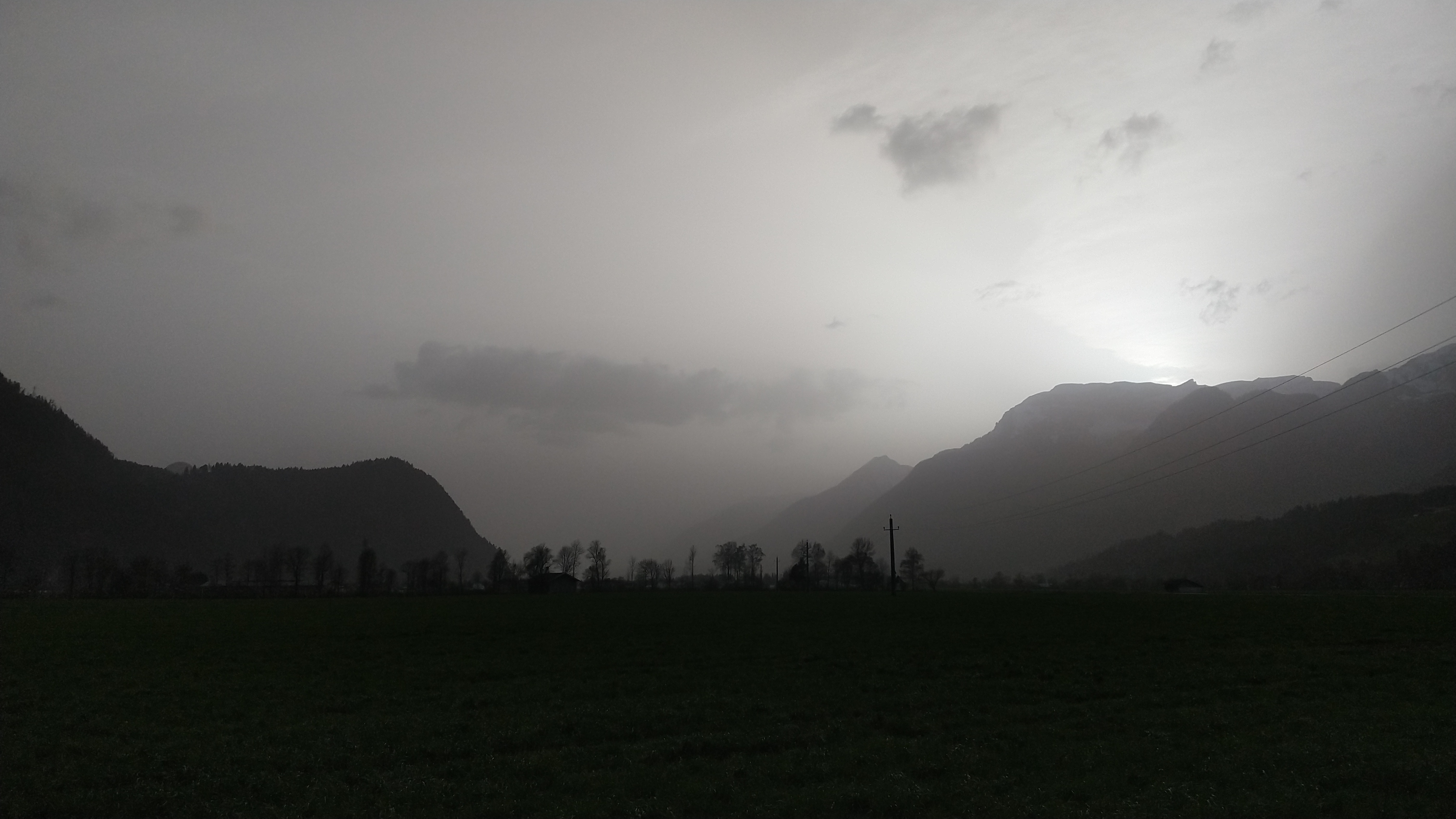
Lake Constance at Night
SBB got impatient with the disgraceful delay the train had accumulated on the German segment of the trip and canceled it in St. Gallen. I’d have had wait almost an hour for the next opportunity to continue to Zürich – thanks Deutsche Bahn! – and felt like I’d rather spend that time riding my bike. In that moment St. Gallen seemed as good a place as any to start the trip so I changed plans and rode out the main station heading north on the descent towards the lake.
On the Swiss side these first two and a half hours consisted of navigating small backcountry roads along the coast without having the section pre-planned on the Garmin. I had to backtrack in a few instances but made good progress all things considered. Very quiet roads.
The German part was slowed down both by the unexpected cold and way too many opportunities to do undisturbed sightseeing. All the tourist hotspots that I only know as overcrowded, stressful places, were completely deserted and I could look around without bumping into anyone. Eat that, people putting up “no cycling!” signage!
It was quite chilly already when I got off the train in St. Gallen and temperatures hovered around six degrees ever since, but approaching the westernmost tip of Lake Constance they plummeted down to 1.6 °C around Radolfzell – despite packing assorted bad wheather gear I was not at all prepared for this. The leg warmers barely managed to keep my extremities from freezing completely but the legs went half-numb most of the night until I reached Bregenz at 05:00 a. m. where temperatures were much milder than in the west.
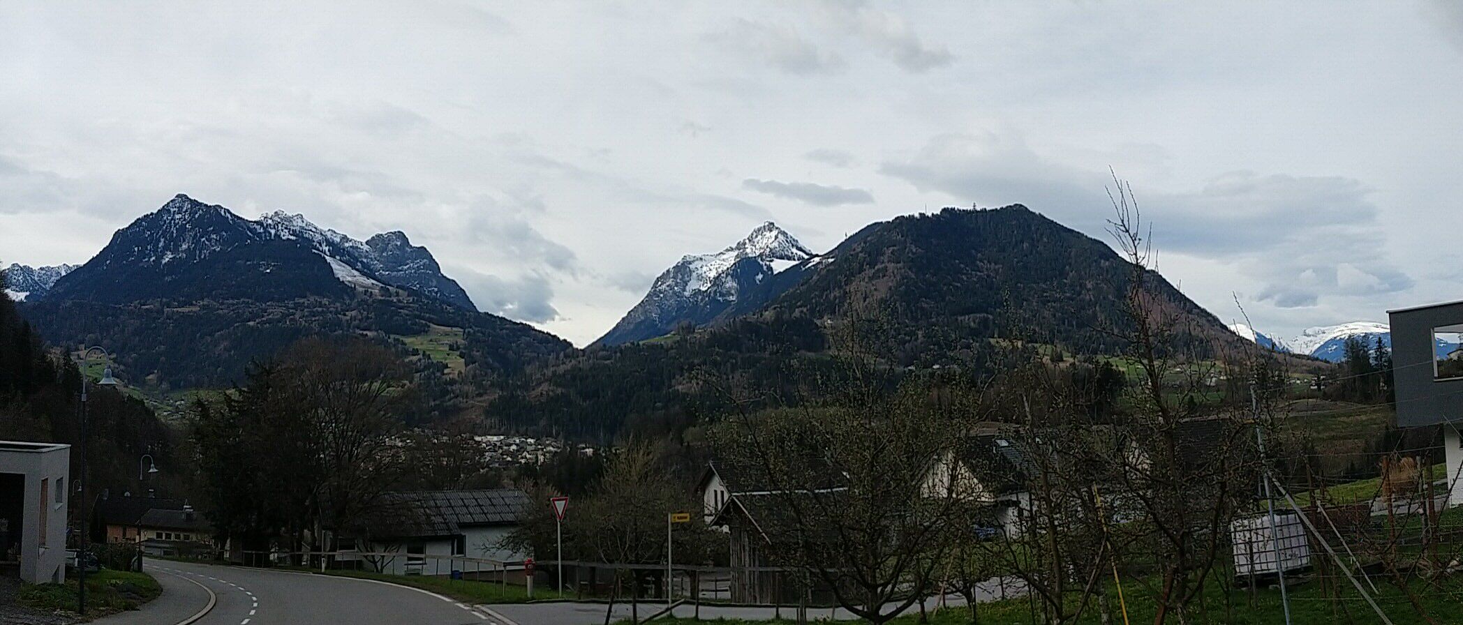
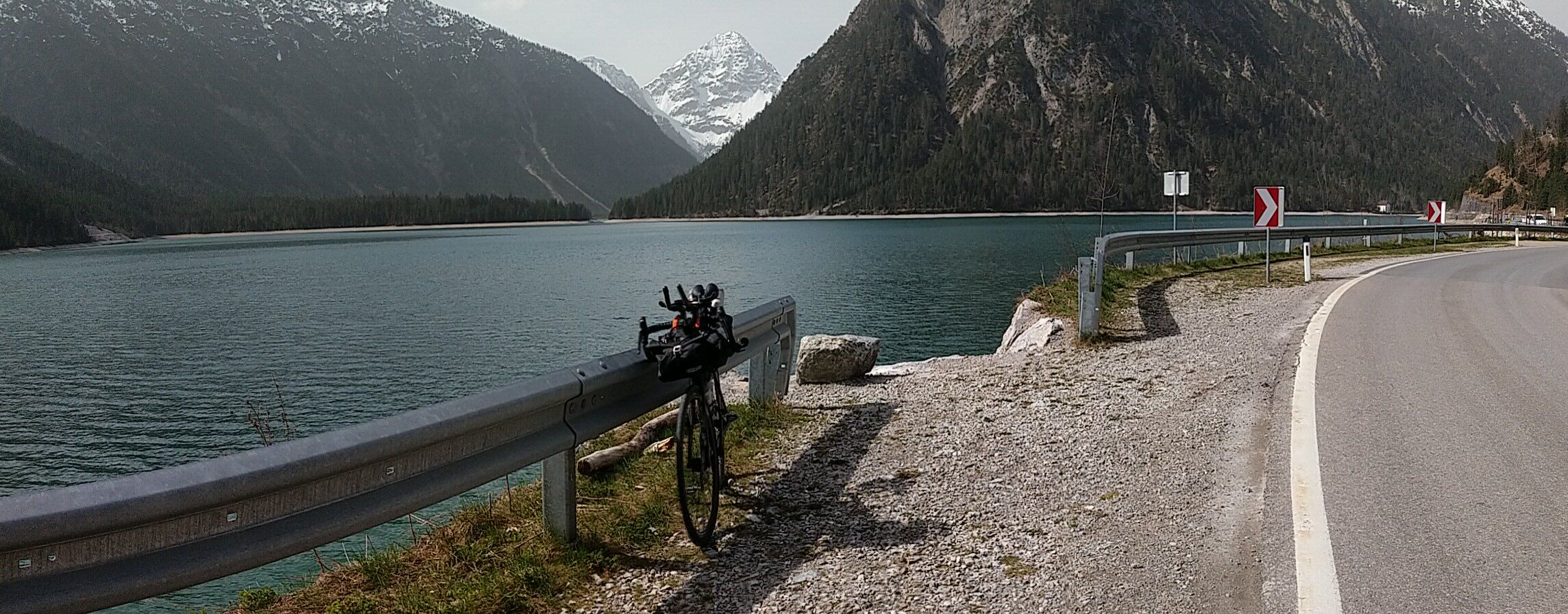
Arlberg
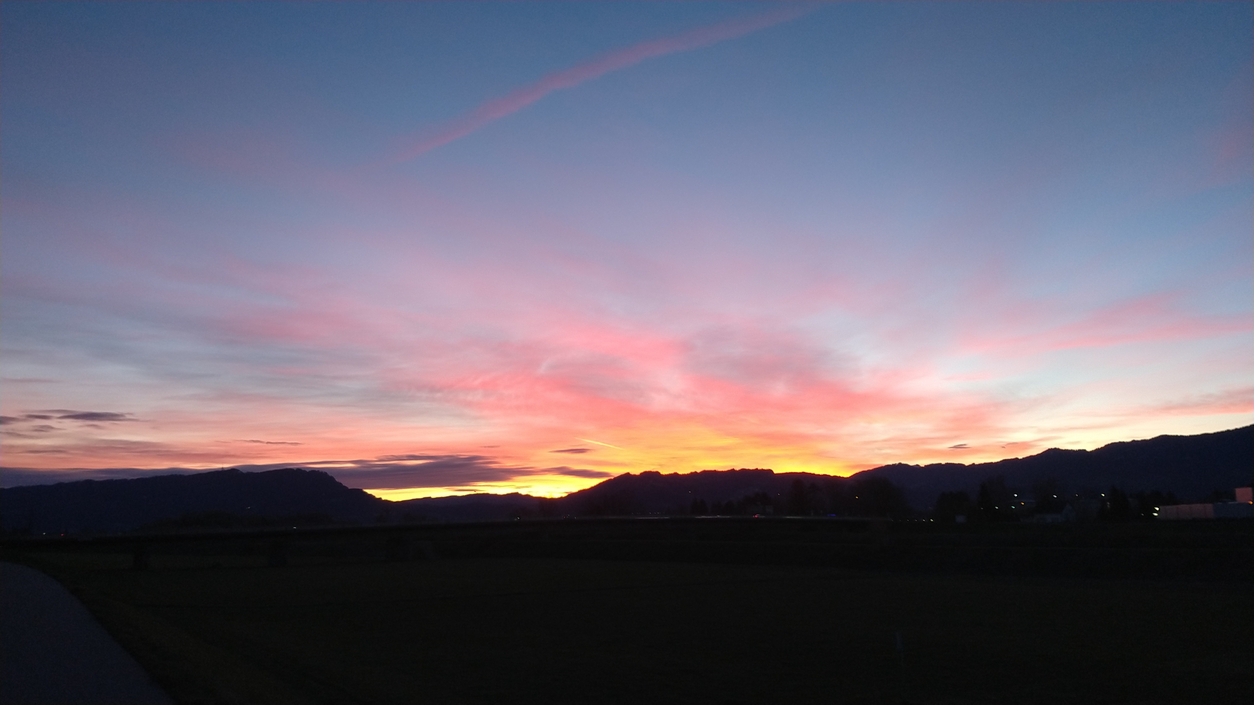
Dawn was spectacular. I happened to reach the Rhine when the first rays of sunlight shot out from behind the Pfänder and illuminated the sky in crimson red. For the next half hour I enjoyed the show, unable to stop looking to my left while I was rolling up the cycle route along the river. When the sun finally emerged from behind the rocks I called it a night and went for coffee and baked goods; the first pause in ten hours of riding and 168 km.
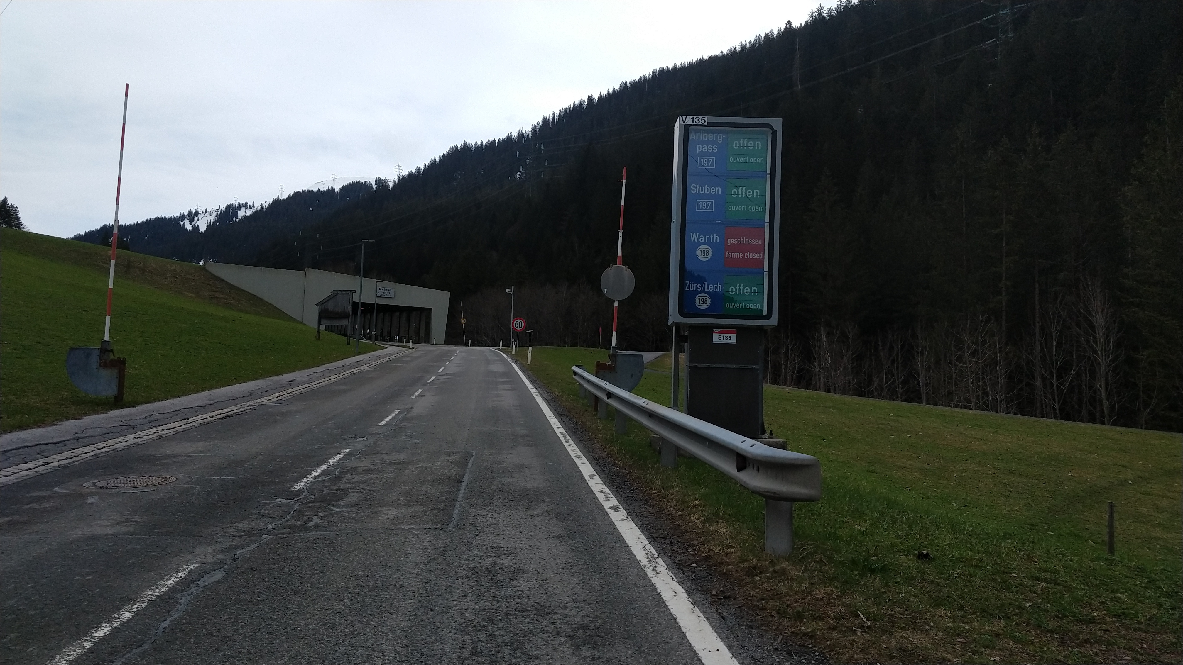
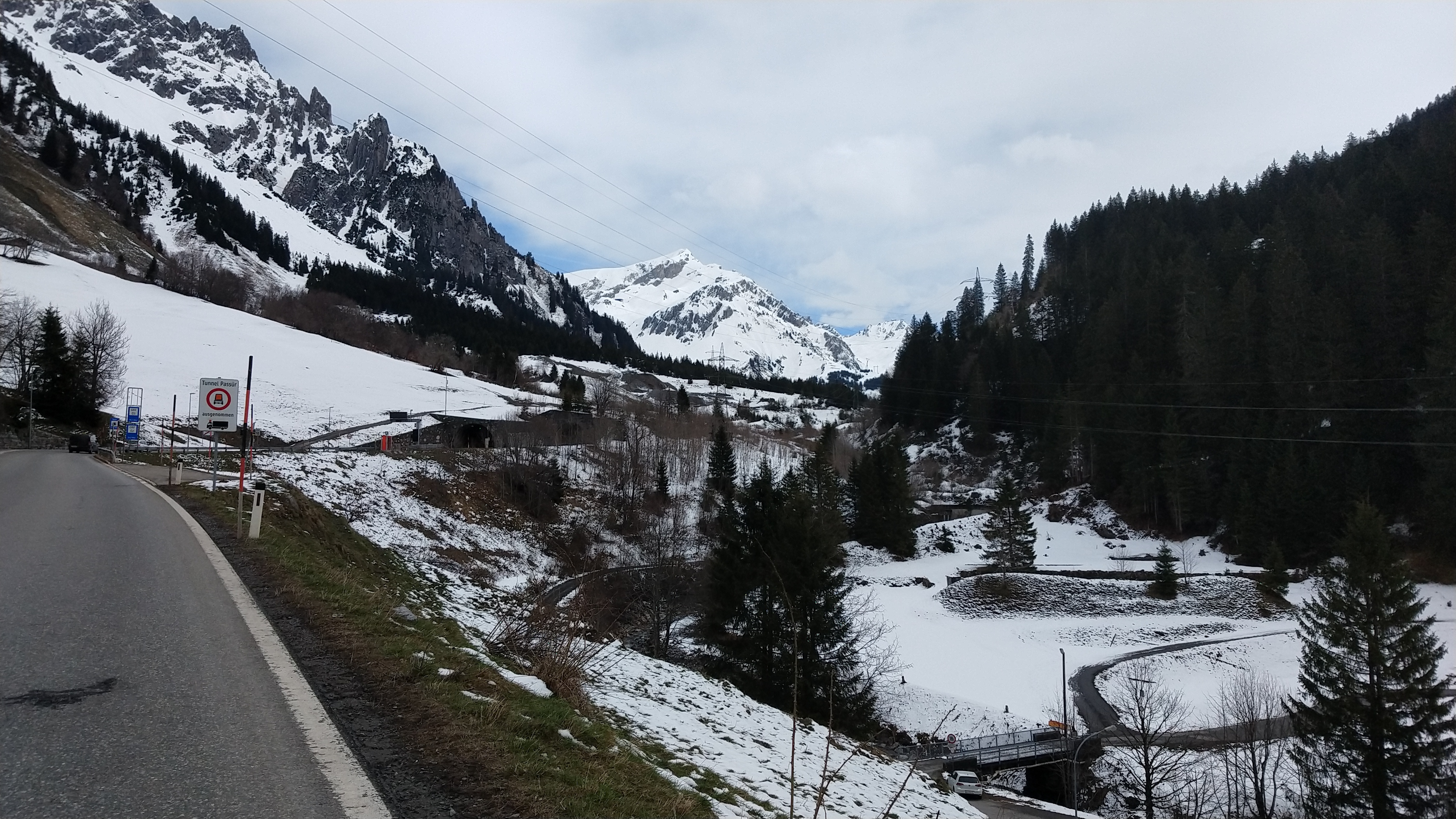
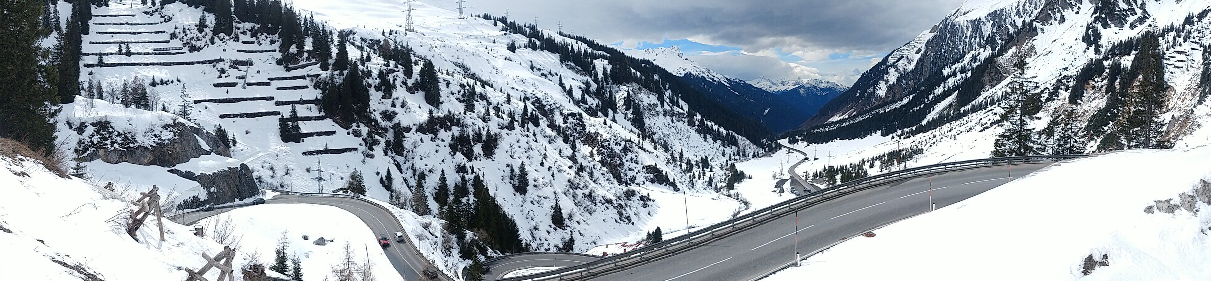
If I had to summarize the entirety of the Arlberg climb in just one word, it would be long. It’s an endless seeming grind of 54 km from the Ill river at Frastanz to the summit, most of it at falso piano gradients until the slope becomes noticable at around 40 km into the climb at 1100 m. On the switchbacks leading out of the town of Stuben at 1400 m it finally feels like a proper climbs with some ramps clocking in at 11 %. In short, the Arlberg is not for the impatient.
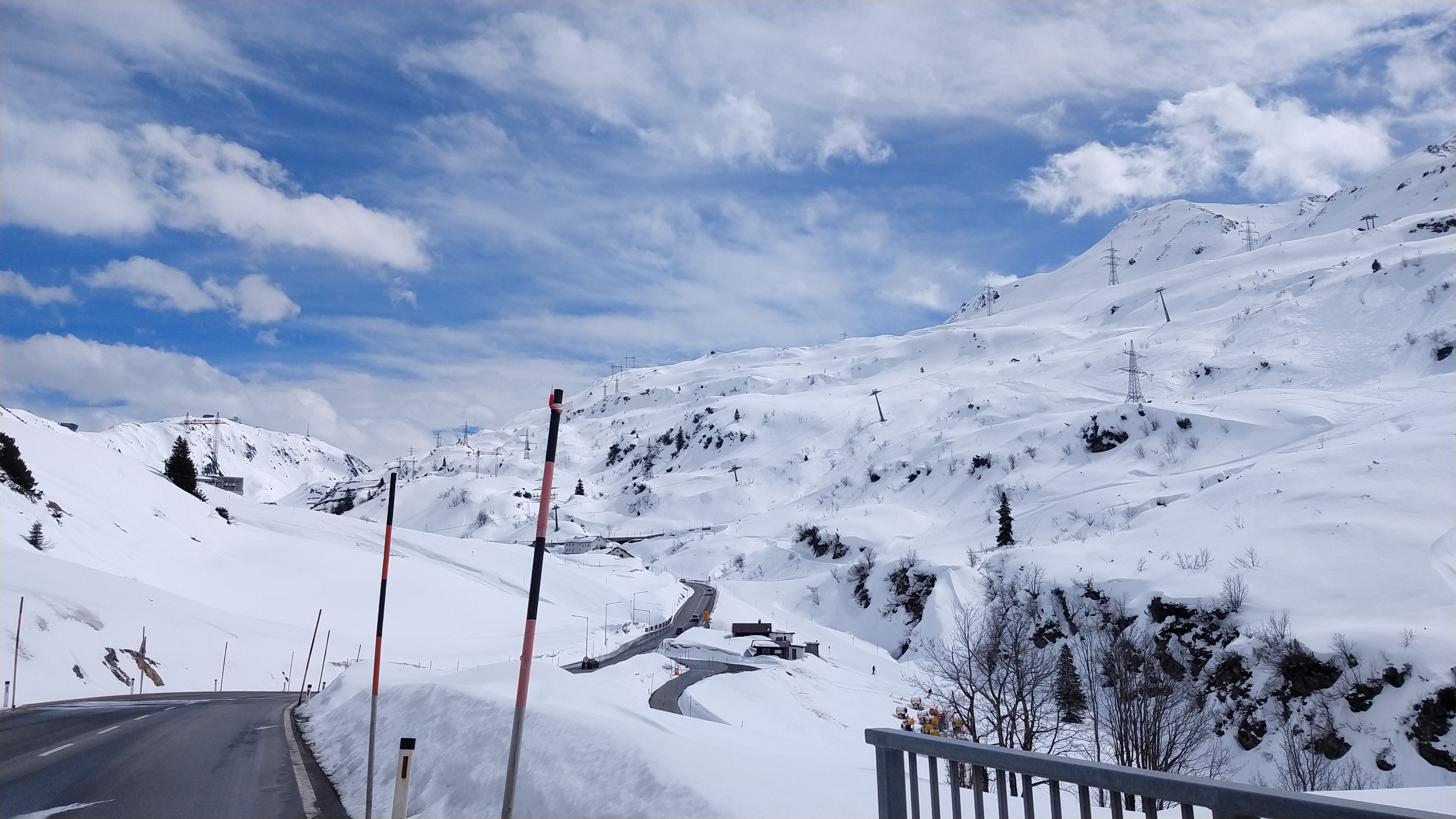
The weather was surreal up there. Thick layers of snow reminded me that technically Winter has just ended and I realized I got incredibly lucky the pass was open at all – cyclists obviously can’t take the highway tunnel and even an older tunnel further up near Stuben is closed to us as well, with a deviation that still had patches of snow on it. A fierce wind was blowing down from the summit at all times and raised the difficulty of this climb by one or two bars. Near the pass most of the countryside was still covered in a layer of snow that was meters thick; the sound of ice cracking was resounding in the valleys. All the while I was sweating in my short bibs less from the effort than from the sunshine in 15+ °C pleasant weather. At 1800 m above sea level. In March!
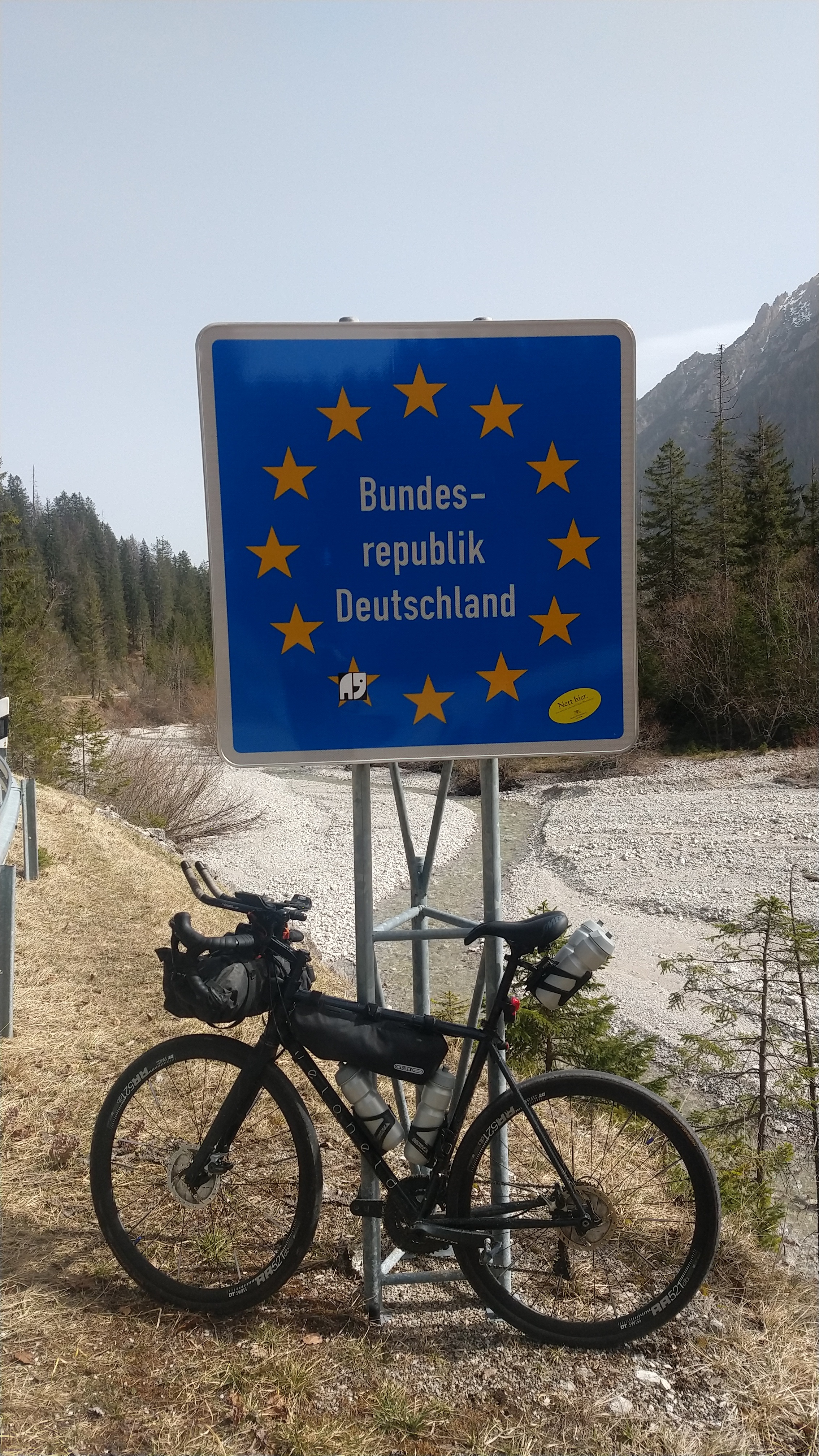
Tyrol
Unpopular opinion: For reasons of symmetry, the part of Austria on the far side of the pass should be called “Hinterarlberg”. Reality prefers it a bit more amorphous for various reasons so Tyrol it is.
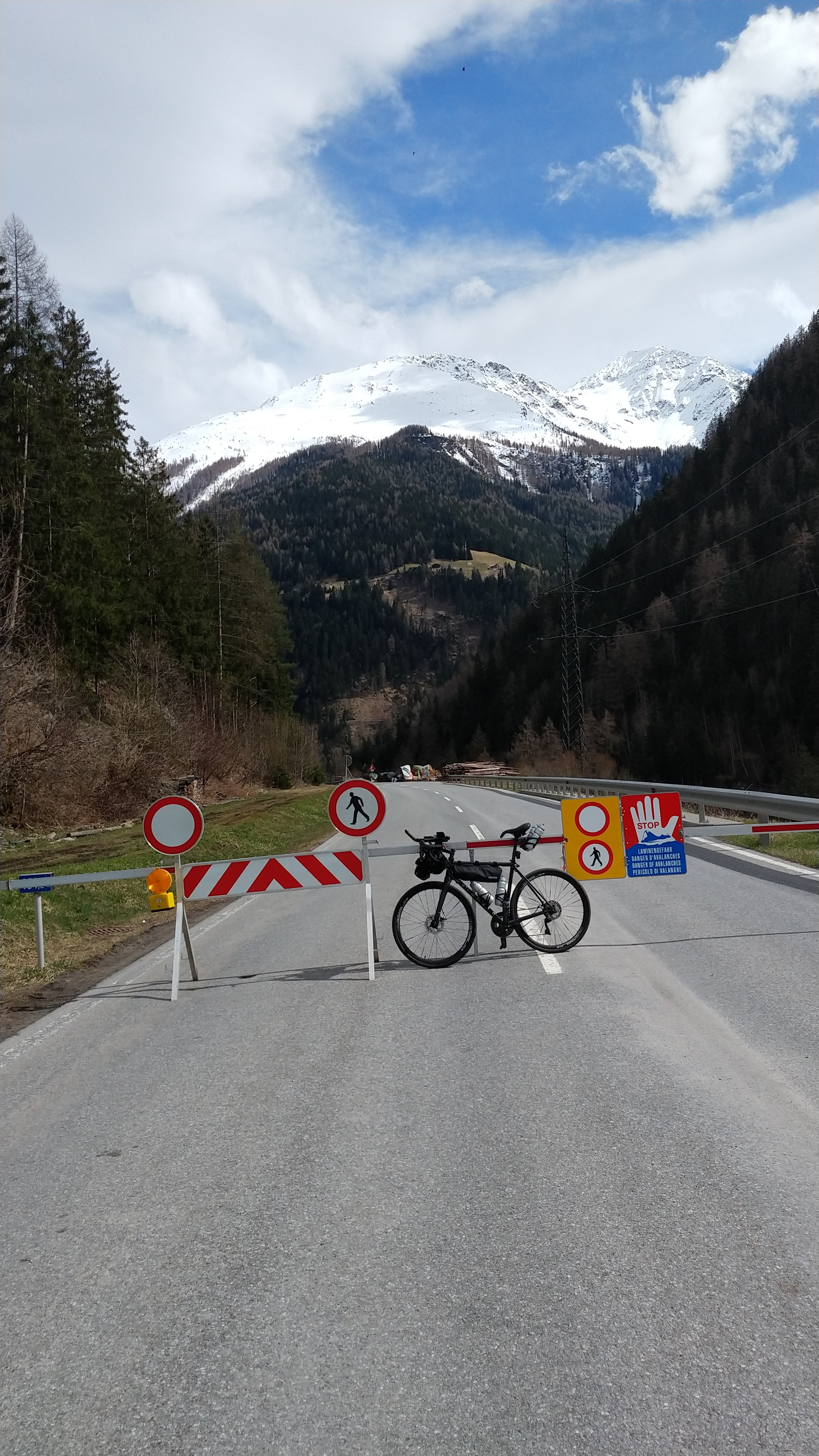
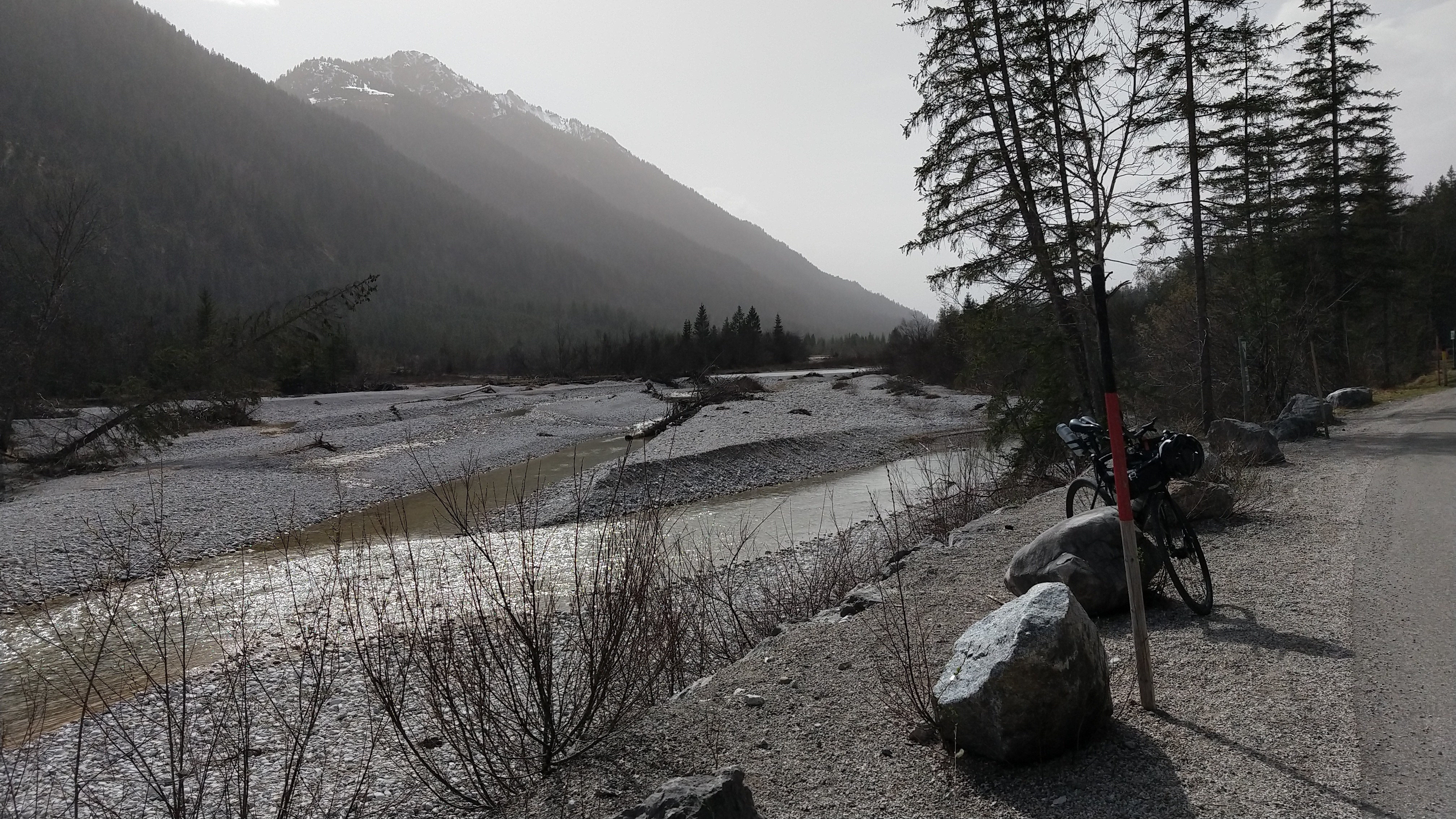
Halfway through the descent I found the road blocked with signage indicating severe danger. Turns out the road is completely gone there as part of the mountainside slid down the valley and took the road with it. It didn’t feel like the kind of risk I should be taking that day so I took the bus around the danger zone.
Energy levels dropped massively on the downhill, I was feeling exhausted for the first time after more than 16 hours on the bike. Lack of sleep ganged up with the effort of the climb against my ability to focus. As it turned out there was an easy fix: Spending a mere hour off the bike munching on Tyrol Speck was enough to reset my nervous system and I got back on the bike fresh and eager to ride on.
When I reached the Inn river it was still mid-afternoon and the wind was bordering on storm. Pushing through the night in these conditions didn’t seem a smart thing to do in the Alps so I booked a room in the town of Reutte which I recalled was the last village before the mountain pass that would lead me back into Germany. Well, my memory was playing tricks on me; Reutte lies beyond that pass so I finished my day climbing out of the Inn valley back up to around 1200 m. Despite its numerous POIs and scenic corners, the Fernpass road proved awful to ride due to thick traffic and what seemed to be an above average number of moronic drivers.
When I reached the day’s destination it was already dark again and after wasting an hour trying to hunt down some decent food I gave up and went with the only option left, a shoddy McDonald’s on the fringes of town. I didn’t realize how tough it was to actually eat that garbage!
German Alps
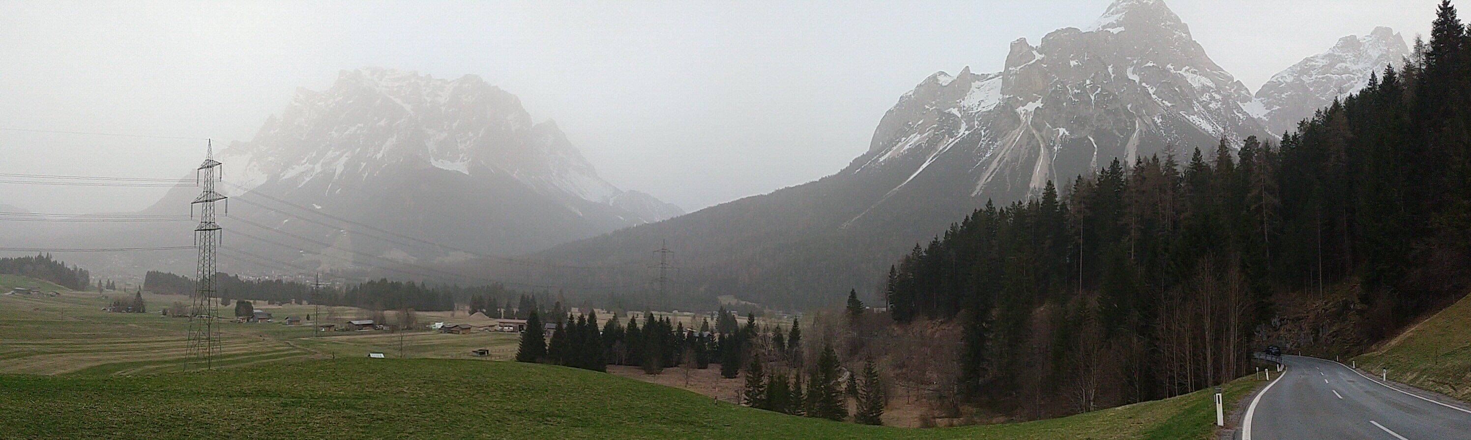
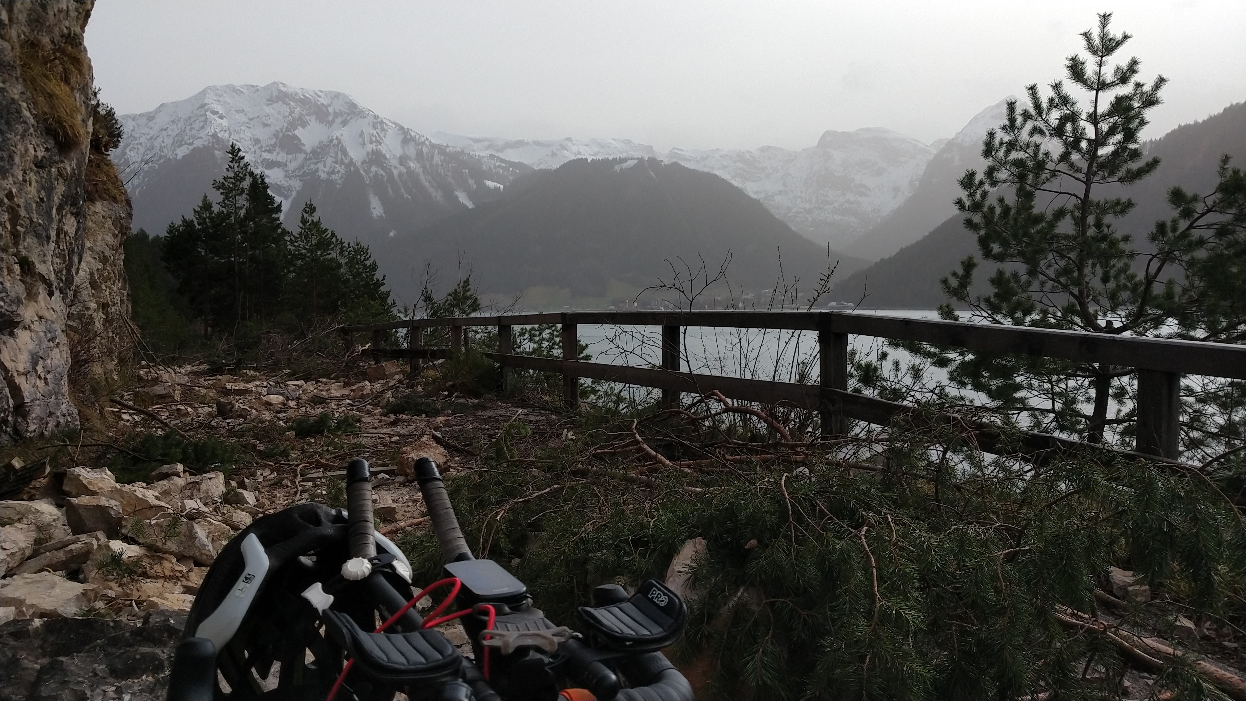
10 hours of sleep and a mediocre breakfast later I was back on two wheels, making my way towards Germany. Passing through Garmisch I followed the northern slopes of the Wetterstein mountain range into the Karwendel mountains, the most enjoyable part of the day. No wonder they charge motorists for access to the road, it’s like riding through an outdoor paradise.
Originally I had planned to conclude the trip at the Sylvensteinsee and follow the Isar back home to Munich. However when I arrived there it felt like wasting a perfect afternoon so I headed towards the Achensee and back into Tyrol.
Tyrol Redux
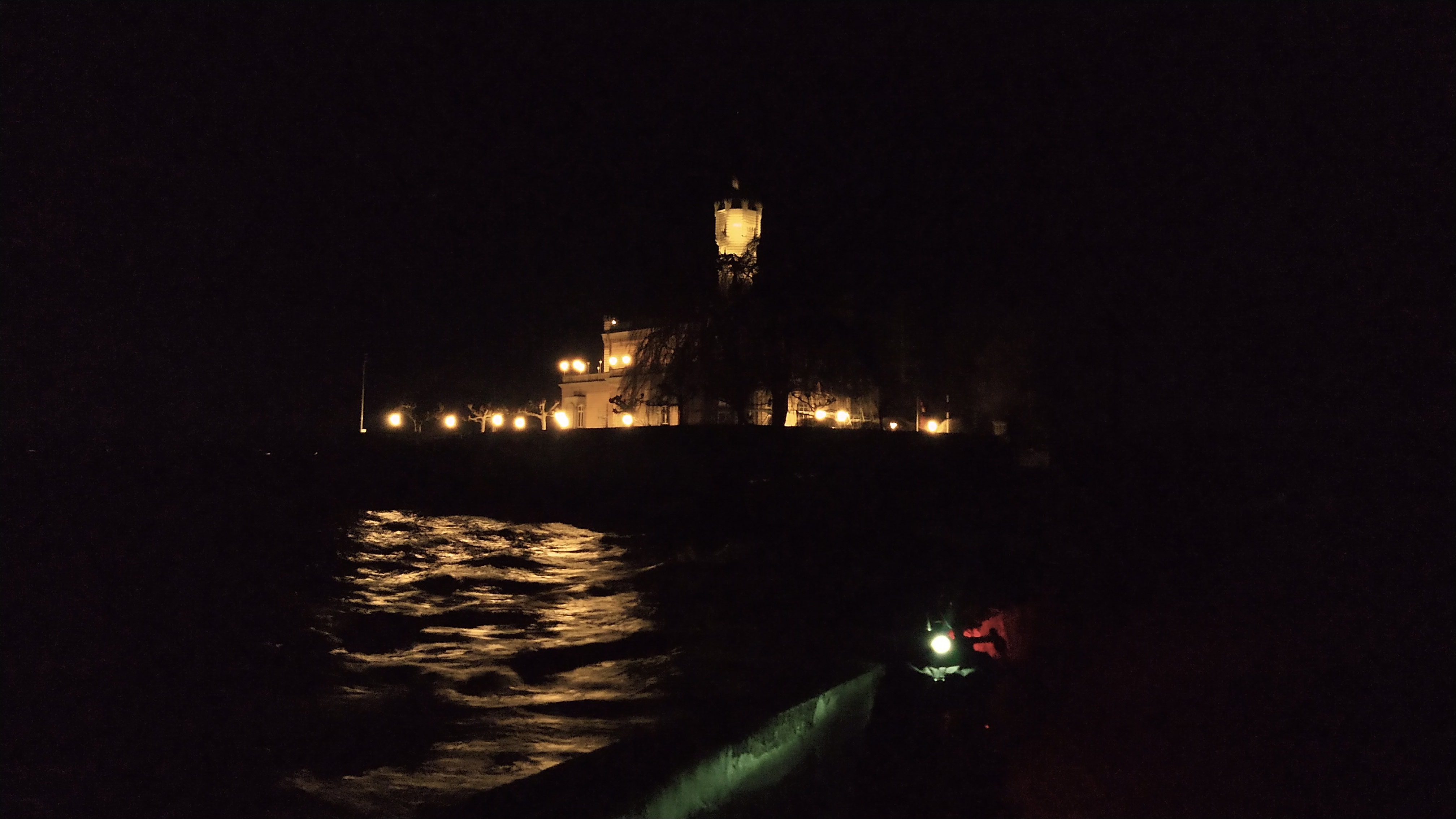
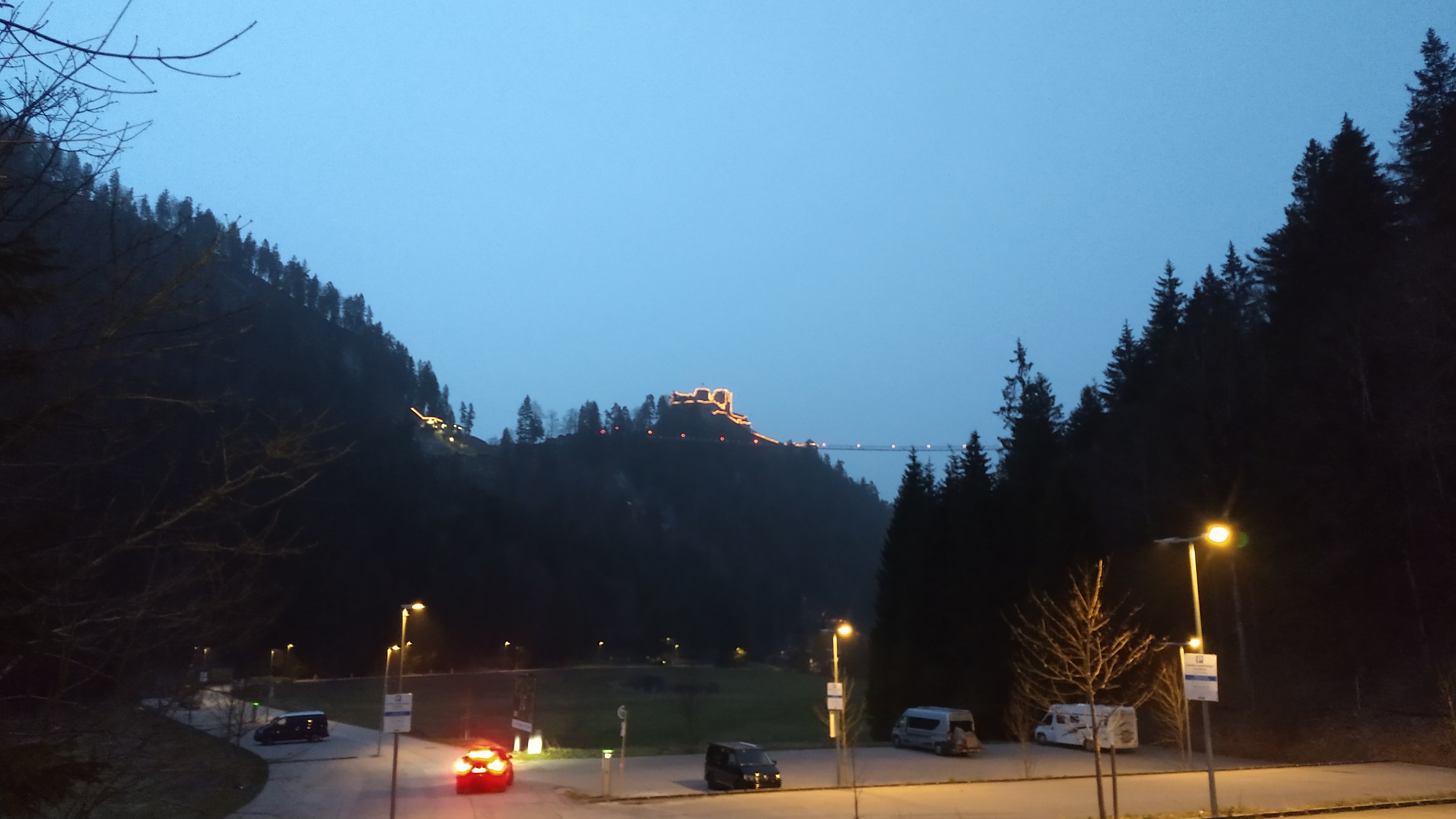
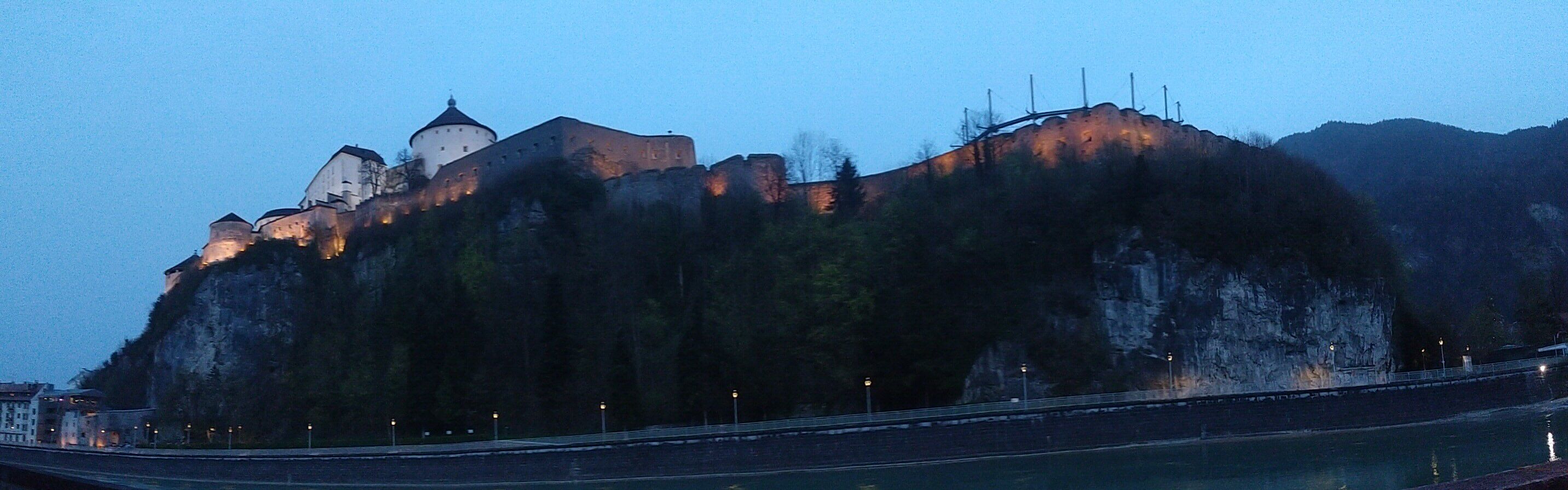
The dust cloud of Sahara sands tinted the sky over the Inn valley in a brownish hue, an overly dramatic backdrop for the tame descent down from Maurach. Back at the river I was in a bit of a rush to reach Kufstein before dusk as I wanted to get a decent picture of the castle, the last monument I’d be seeing on this trip. It wasn’t completely dark yet when I arrived so I’ll write off that part as a moderate success.
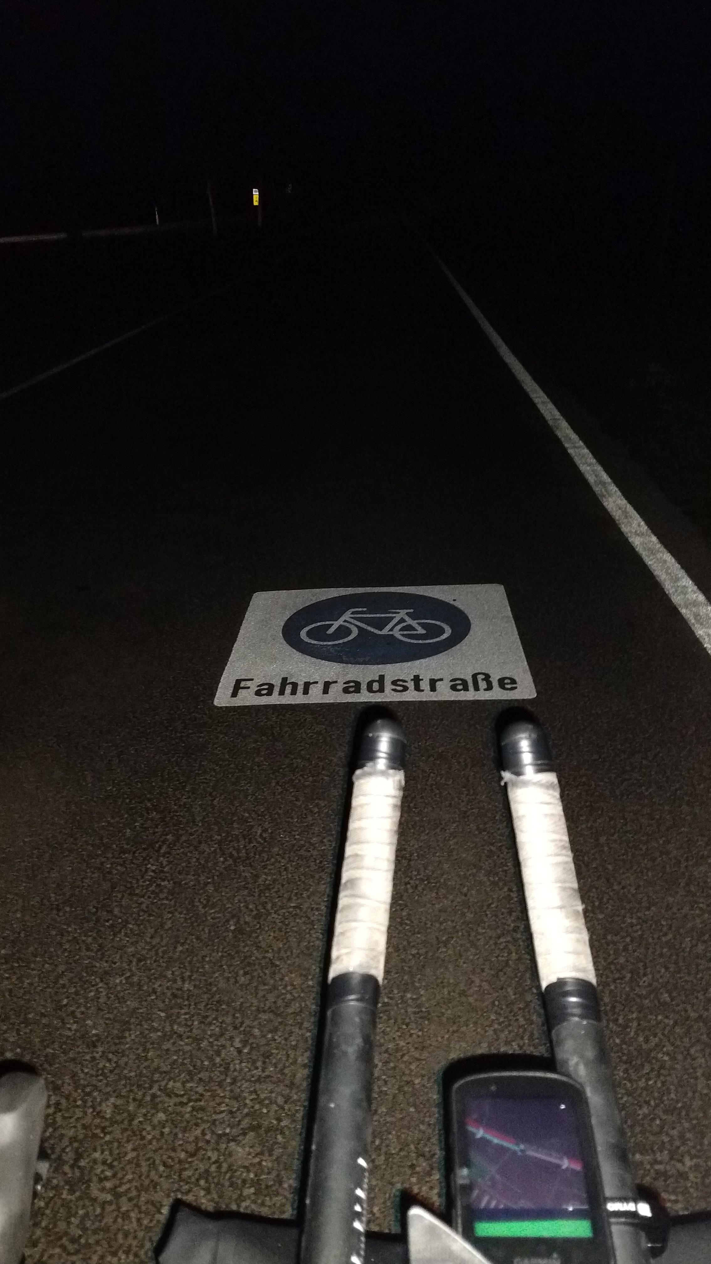
The ride back home proved uneventful which at night is exactly how you’d want it. Rolling along the prealps I avoided the more remote parts of my usual route and stuck to mid-size roads instead which were mostly empty during that time of the day. An 80 km cooldown to the mountain excitement I enjoyed earlier that day.
Lessons Learned
A massive ride like this is about discovering the countryside as much as it is about exploring oneself. Turns out it is in fact possible to do 24 hours long rides, but not in one go: Pauses make all the difference, even if only for an hour every 150 km. Coming to complete rest is the important part; the mere lack of physical activity during a long descent is not sufficient even though it’s just rolling downhill.
I could have done with a bit more leeway on the planning side to avoid situations like in Reutte where I had to resort to McDonald’s after my kebab plans fell through. These are remote parts, during off-season one just cannot expect a doener joint to be open at 7 p. m. In retrospect the right move would have been to grab some food immediately after the Fernpass ascent.
Finally, it’s vital to look past the temperature and precipitation when checking the weather conditions during the planning stage. Strong winds can ruin a trip and almost did for me on that long ascent up the Arlberg. This Easter tour was amazing but felt like drudgery at times; I might have had more fun taking a different route instead.
gps tracks
gallery