The Long Road North
The midges at Skaidi campsite were no less belligerent in the morning than they were last night. I bought some supplies off the proprietor who was so nice to fill up my Koppen with coffee for free. I couldn't have hoped for a better way to start the toughest day so far! From Skaidi it takes some climbing to reach the east coast which serves as an adequate prelude to a long day in the saddle.
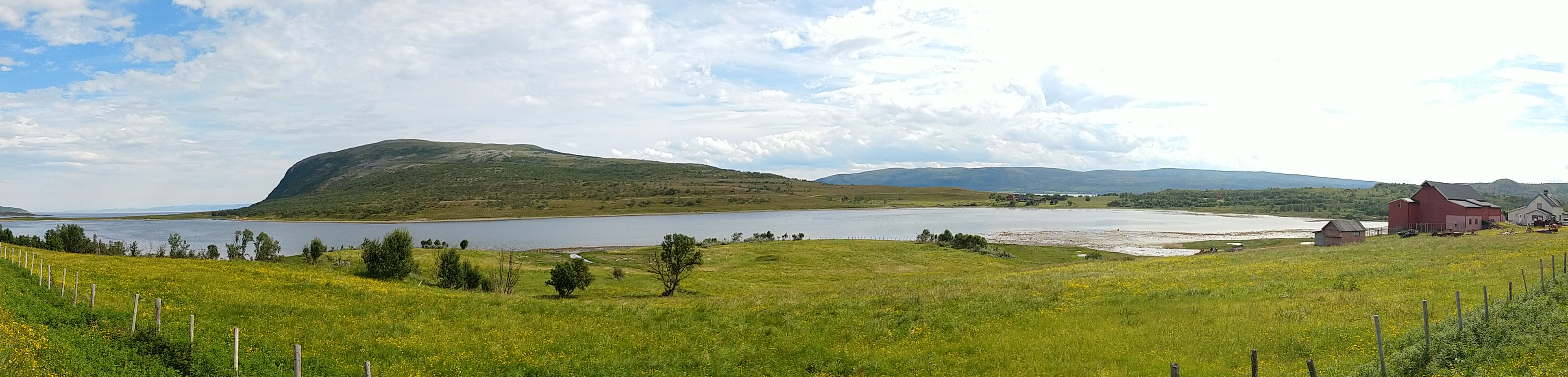
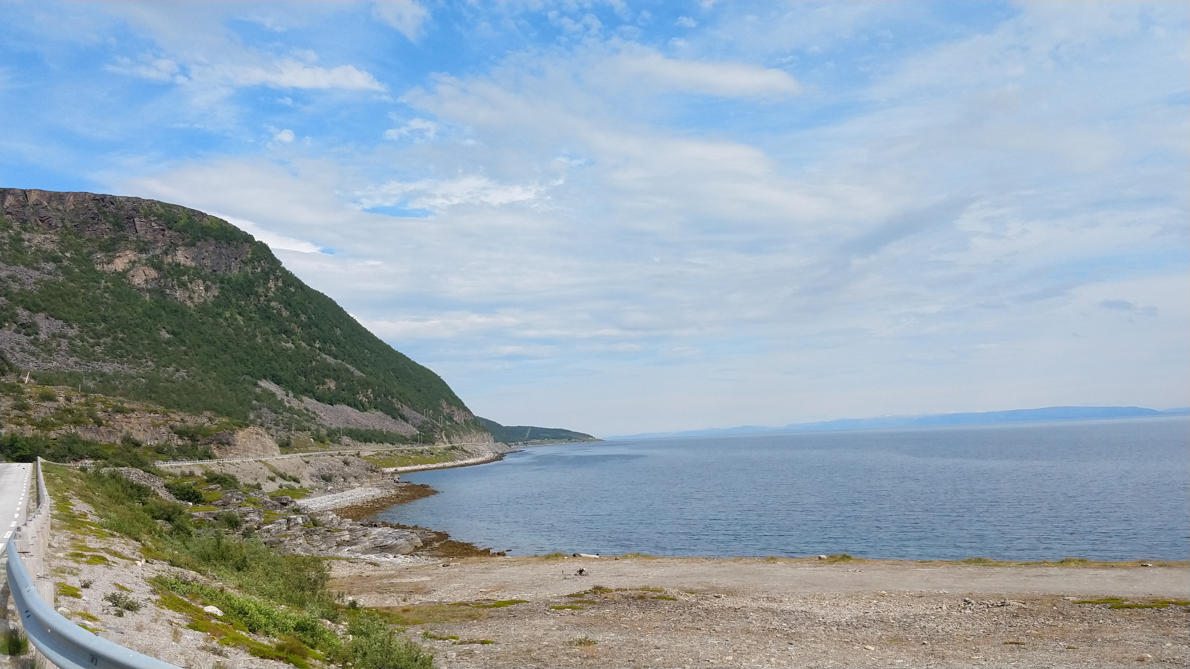
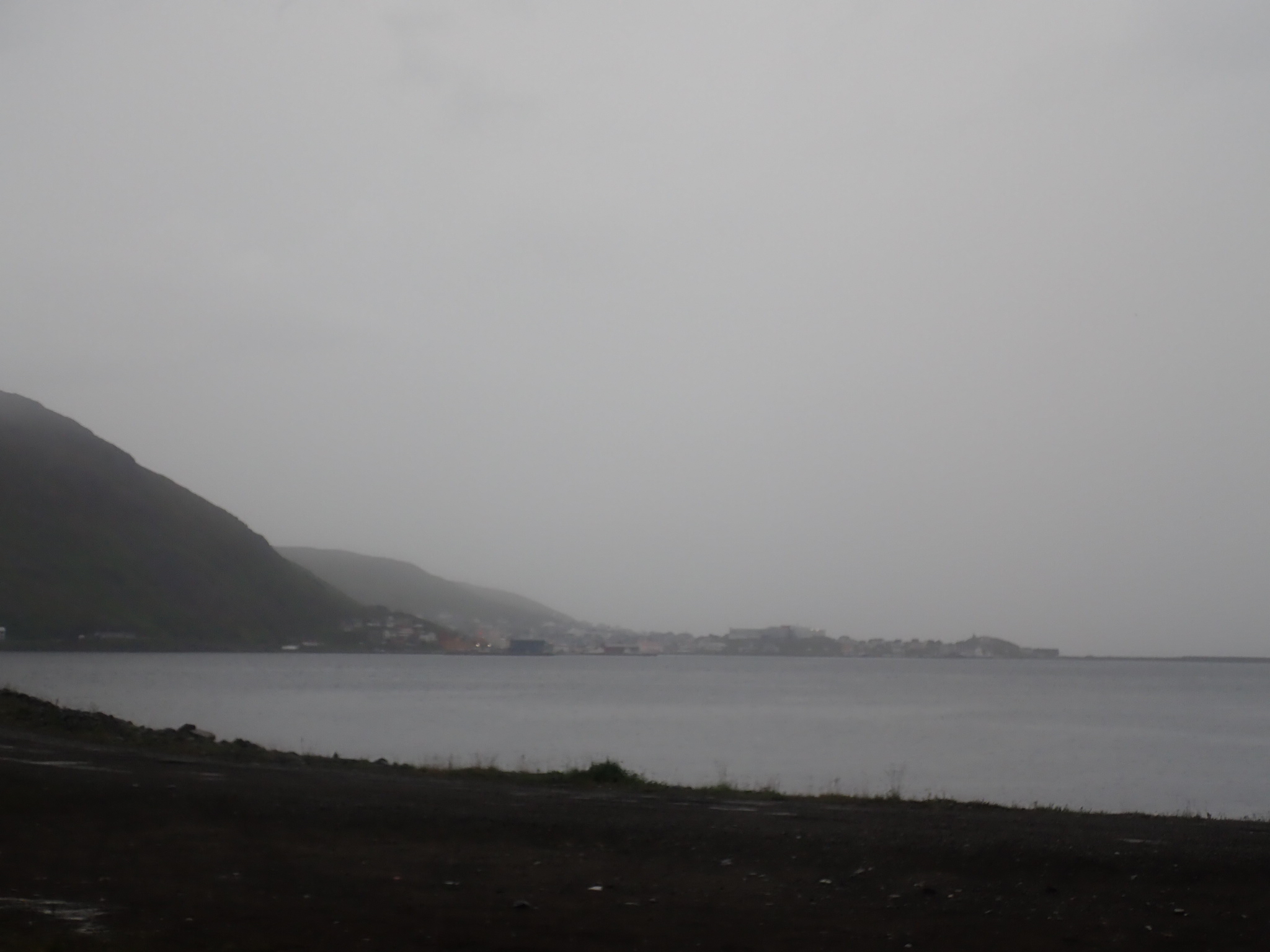
Arriving at the coast the change of scenery couldn't be more drastic: no more tundraesque wildernis where vegetation is limited to bushes and lichen, but picturesque fishing villages lining luxurious bays with rough crags towering over the sea in between. The atmosphere on the road was quite different as well: gone was the dominant utilitarian aspect as traffic was composed mostly of vacationers on four or two, and in one case a single wheel.
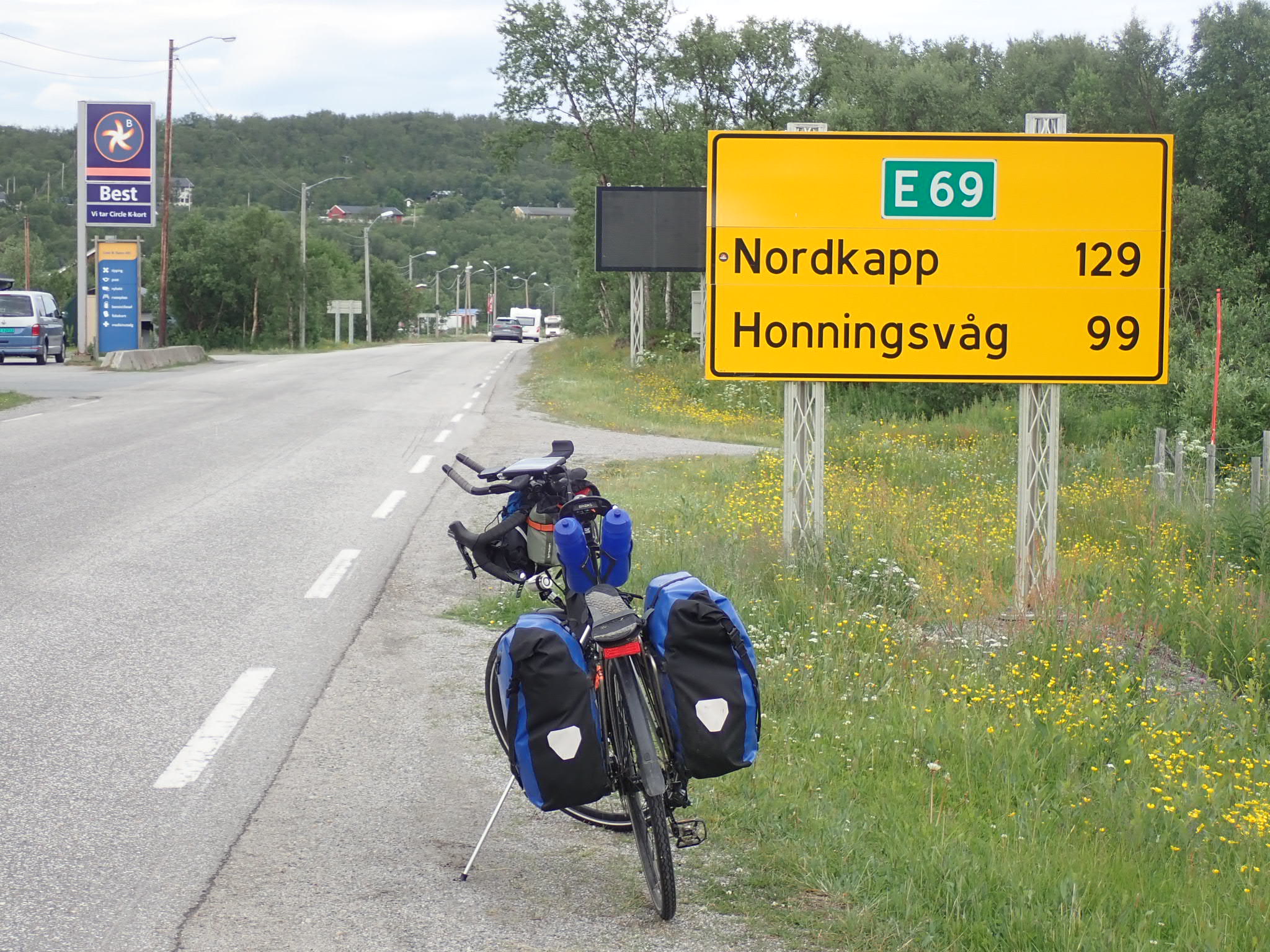
Oldenfjord marks the convergence point of the three main roads leading to the Cape: besides the one in Norway that I was traveling on there's one through Sweden and another through Finland. The flux of bike travelers from those three ways combined formed a steady trickle of tourers going in both directions to and from the Cape. The people arriving from Finland told of weeks of sunshine and blue sky; the ones from Sweden reached the north in record time; the Norway crowd was mentally already past complaining about bad weather. It wouldn't be much of a hyperbole to say that what the Ventoux or the Stelvio represent to road cyclists, the Nordkapp is to cycle tourists.
Underground
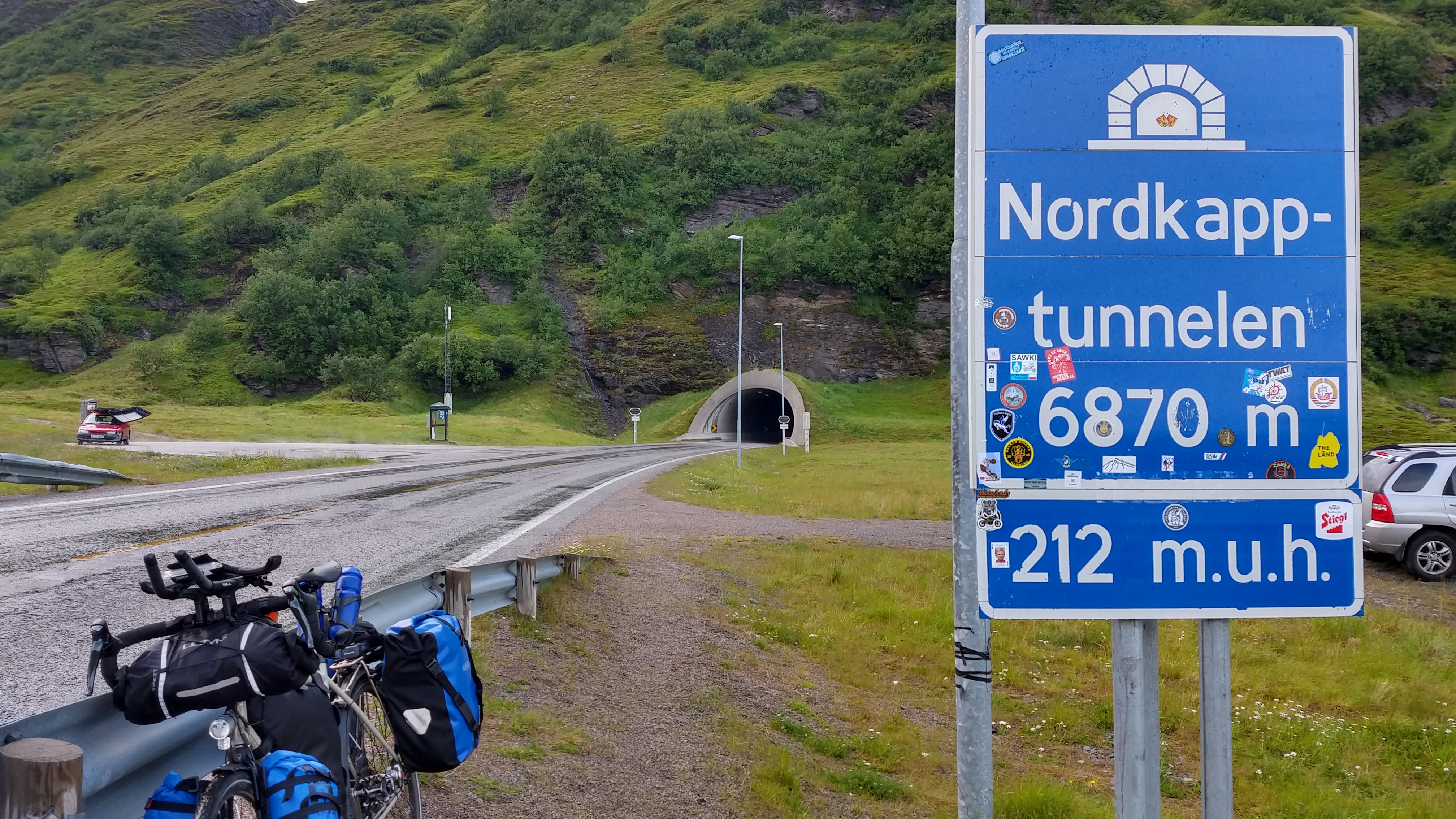
The Tunnel is an essential part of the hadj to the Kapp. As an "inverted mountain" it is peculiar in that it does not offer the option to chicken and roll back downhill in the direction you came from. A gravity trap, basically. Once you've started the descent into the abyss you can only get out by climbing out on your own two legs.
With just "under" 200 meters of negative elevation, the physical aspect of the tunnel is basically negligible by the time you reach it. Psychologically however it's tough: as cars approach they send a roaring noise kilometers ahead. Due to the curvature of the tunnel it is impossible to assess whether traffic is coming from ahead or behind and how close it actually is. The ever changing gradient conspires with the low ceiling against any attempt at judging your progress visually. Without access to GPS signals the Garmin becomes quite useless too; the readings from the barometric altimeter got quite nonsensical the further down I got, as though the sign on that altitude figures was flipped. The pervasive cold on the descent too contributes to this blunting of all sensory inputs of the central nervous system. Four layers of clothing were insufficient at keeping it out mostly due to the humidity, so when I reached the lowest point my hands had gone partially numb. Illuminated distance markers every kilometer were the only pillars of clarity in that pit of obscurity.
The gradient really kicks off near the northern end, getting ever steeper until one attains line of sight to the exit and the first rays of sunlight break the darkness, providing a visual cue to anchor your senses on. This almost psychedelic experience lasts around twenty-five minutes before one reaches the far side of the Nordkapp tunnel rolling onto the island of Magerøya.
Magerøya
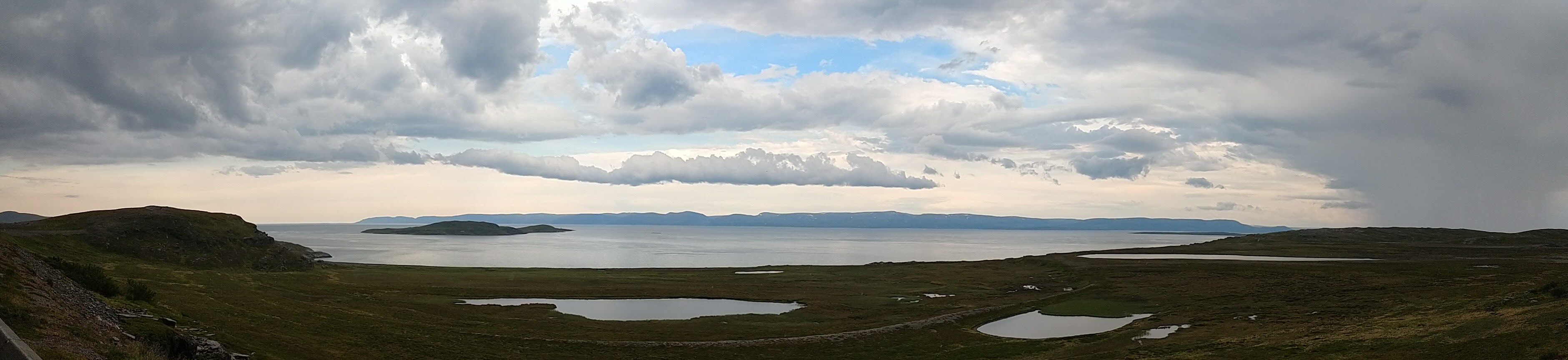
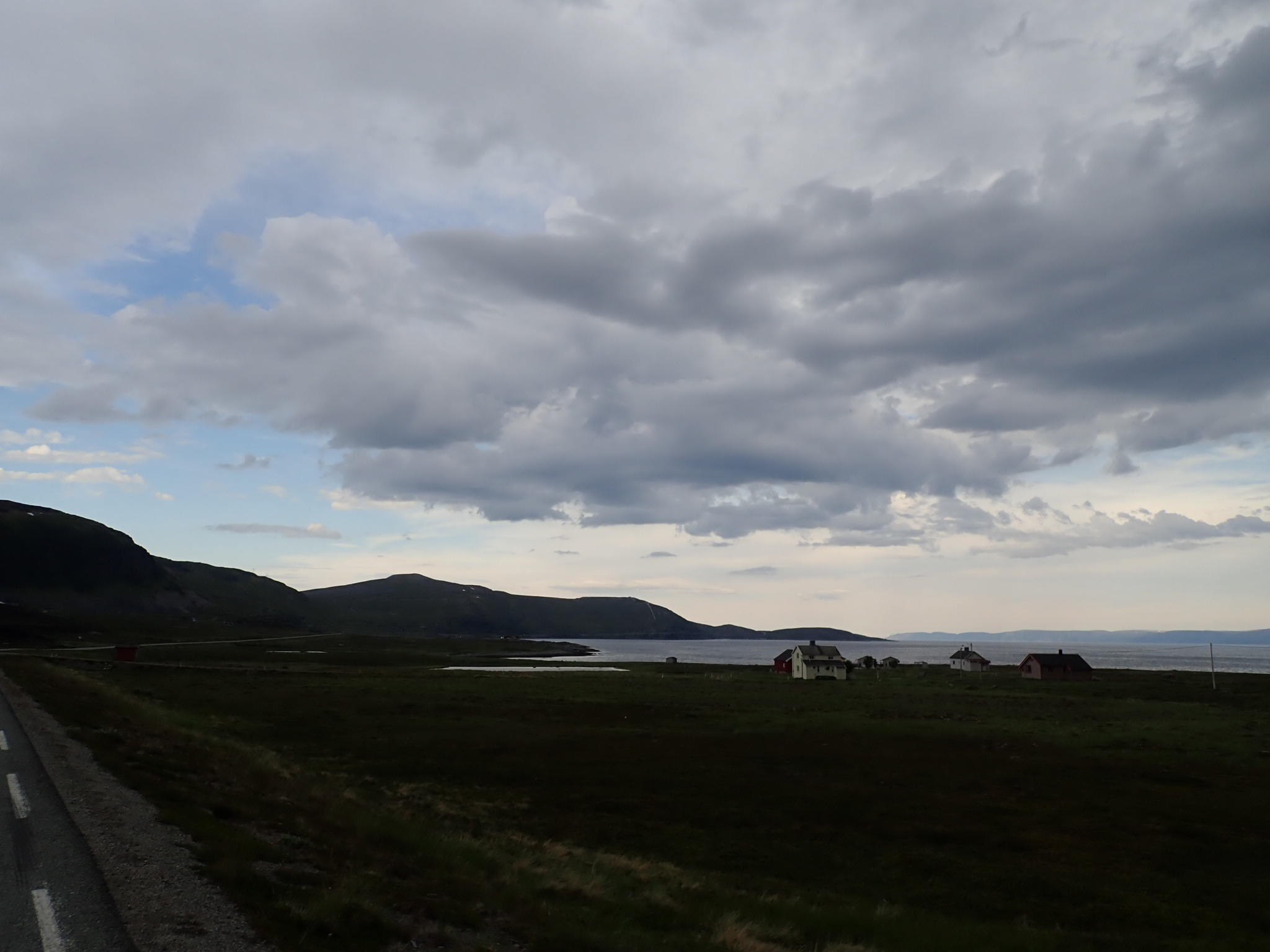
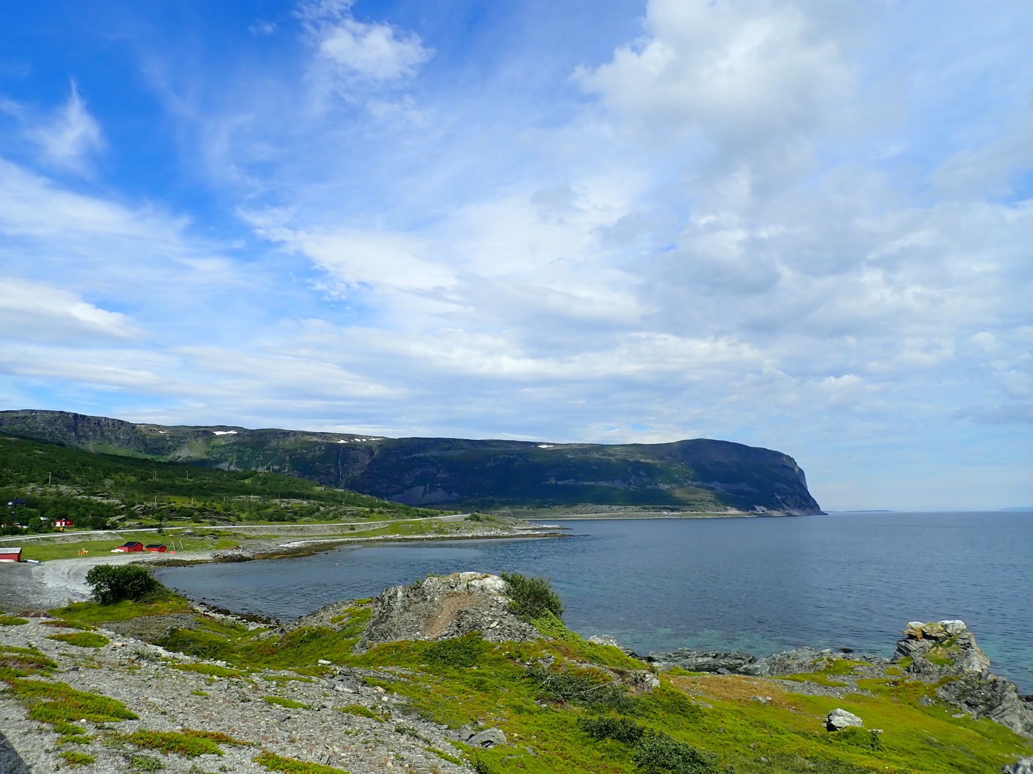
Above the tree line, latitude wise, Magerøya is devoid of larger vegetation and thus of all the parts of Norway I got to see so far it resembles northern Scotland the most. The weather too is pretty much the same though somewhat more steady. Which means very little besides that when it rains, the rain lasts longer, and when there's wind you can be damn sure it will be blowing for the next couple hours at least.
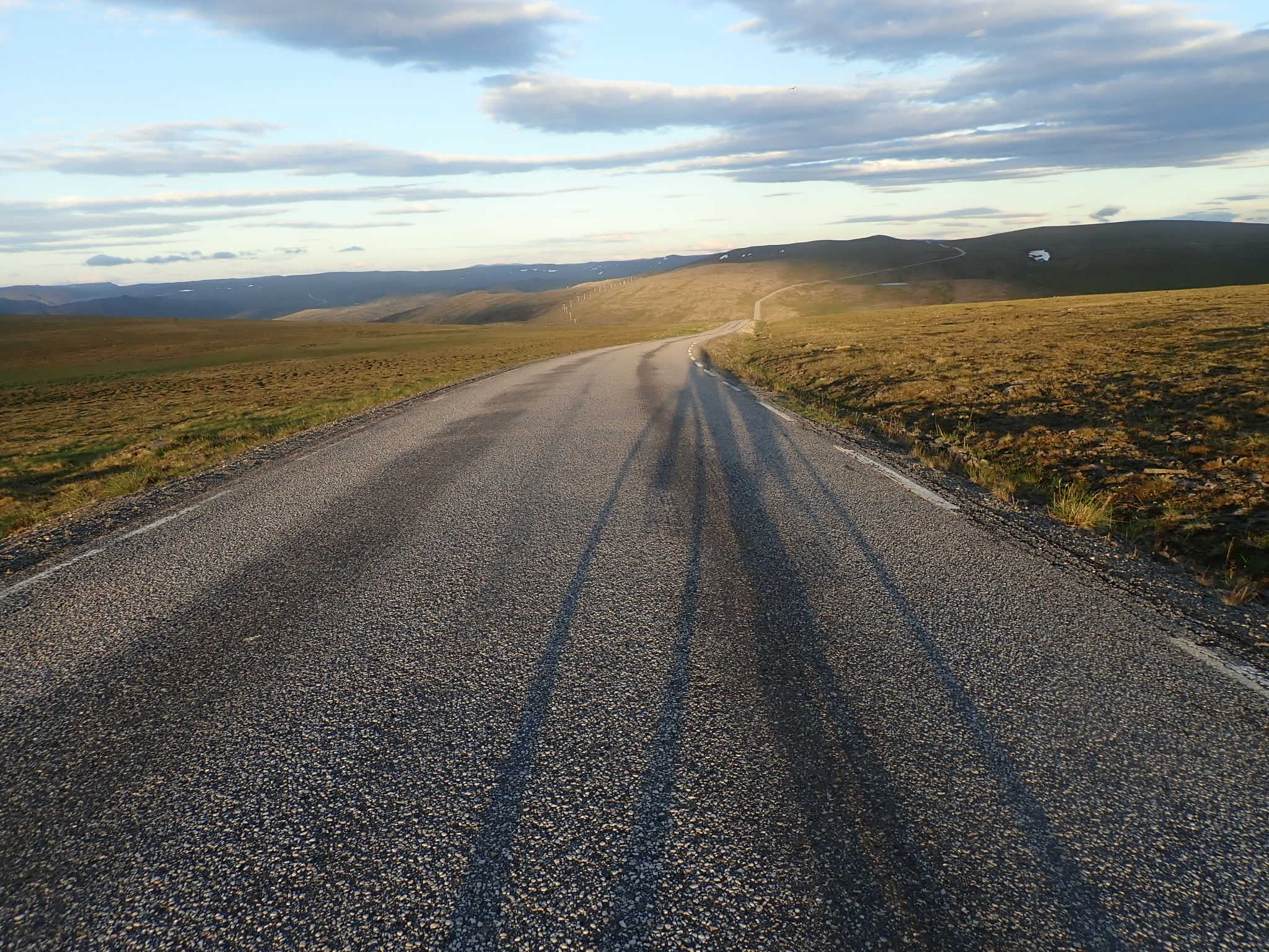
Stocking up food at a gigantic supermarket at the northern outskirts of the island's only larger settlement, Honningsvåg, I spotted another bike traveler who sought shelter from the rain at a closed gas station. We decided to team up against the relentless wind and head for the Kapp together. He turned out to be from Leipzig, talk about coincidence! Just shy of thirty kilometers left at that point, but the terrain posed a special challenge with a series of steep climbs and downhills, almost as though the road was constructed with the goal of increasing the reward of reaching the Kapp in mind, which it undeniably did.
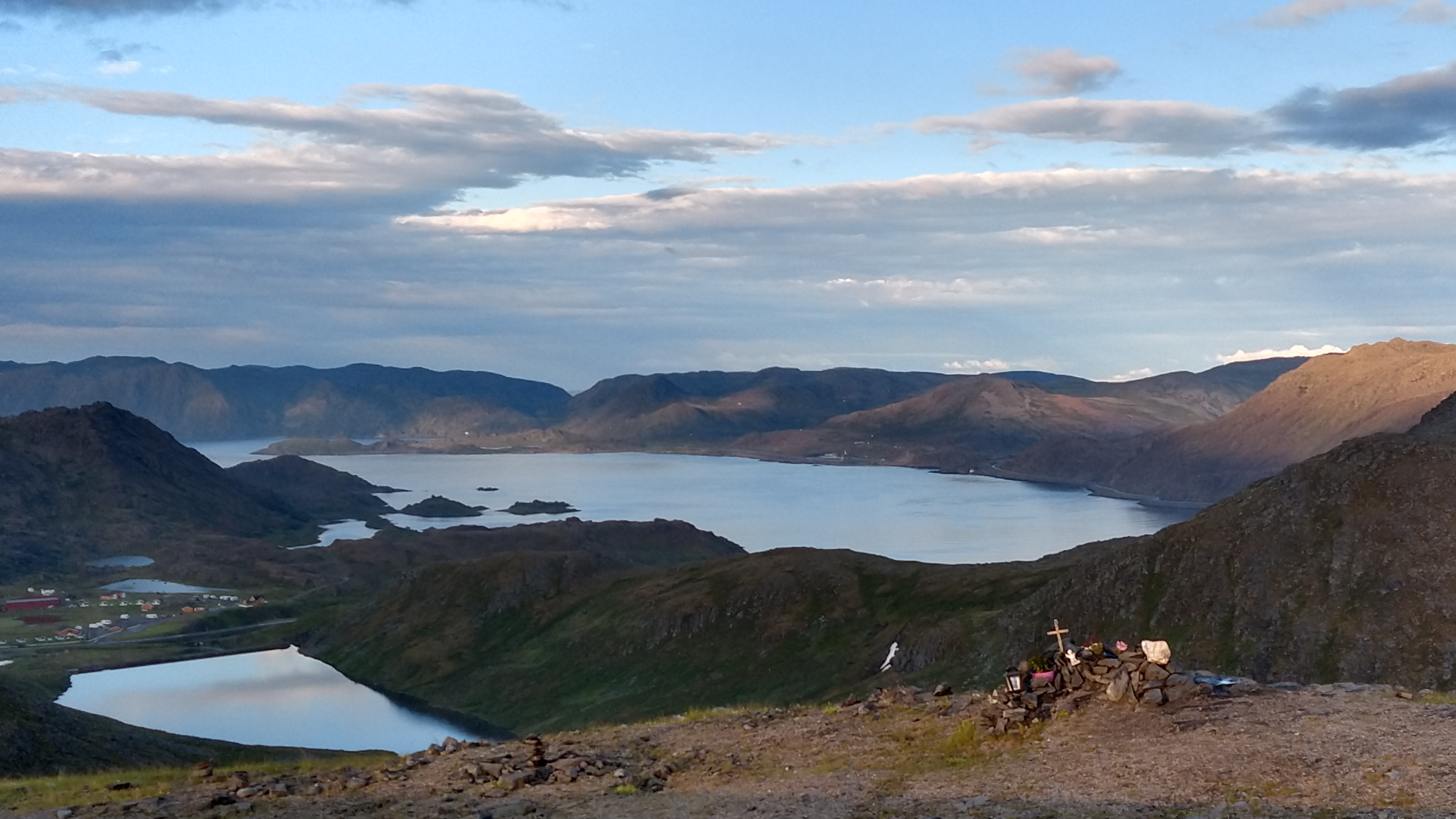
Our timing was impeccable: we reached the Kapp at precisely 23:30 h with enough time left to find a spot at the midnight sun panorama view to the north. And boy was that view spectacular! Just a few clouds concealing the sun on an otherwise open sky, definitely one of the better days of the year to enjoy the show.
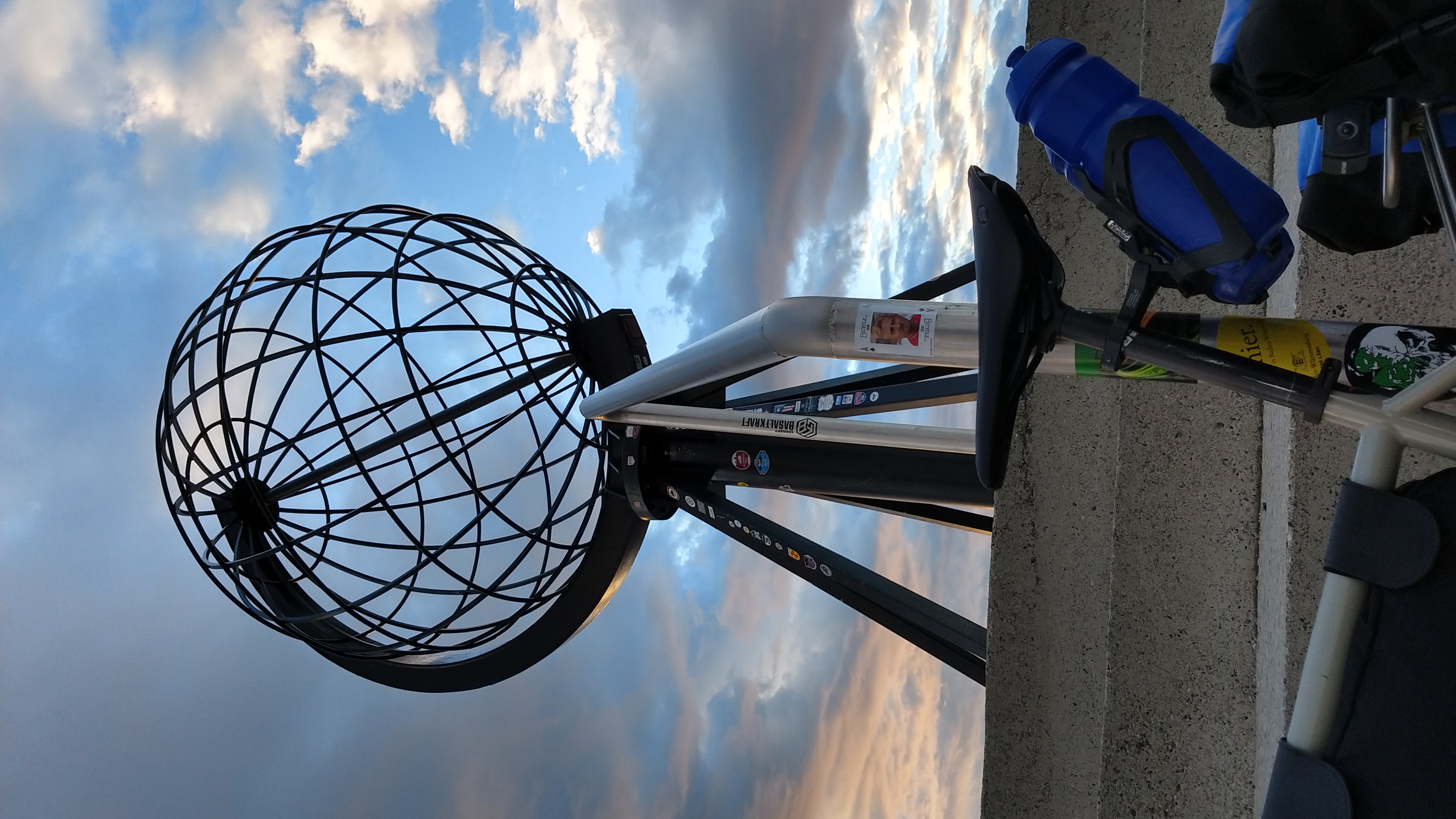
Around half an hour after later the campervan cohort had retreated to their vehicles; what remained were about a dozen motorcyclists and us bike travelers forming a line to take pictures in front of the iconic grid wire globe. Still full of energy after a day of basically sitting still on their machines, the moto guys tried to outdo one another posing for the camera. This parade of merry clowns got successively more bizarre, like a Vaudevillian performance that elsewhere people would pay to watch live. Us cyclists, systemically tired after wringing hundreds of kilometers out of our physical substance, were a bit less unhinged but posed nevertheless. I dare say with a bit of hyperbole, that to us these impressions are more than just twodimensional snapshots because theyr're burnt into our bones and muscles.
Already on the final meters before I reached the Kapp I decided I wouldn't camp out there for fear of losing parts of my tent to the wind that was blowing mercilessly all the time. I parted with my travel companion from Saxony and went to reach the campsite closest to Honningsvåg to conclude a long, long day in the saddle. Which posed another challenge as in addition to doing those steep ascents in reverse order I also had a continuous headwind which appeared to be blowing towards the sun -- with gusts so strong they almost caused me to sur-place a couple times on the summits of those hills.
The final stats of that tour de force don't include that wind but they're on the upper end of my touring scale nonetheless: 171 km distance and more than 2200 m of elevation, the numerous GPS-less tunnels not included. After that I was as ready as could be for a stationary day on the campsite! Thankfully I had saved some special treats for today that I rewarded myself with at 4:00 h in the morning: bits of cured reindeer meat and the most Norwegian of all foods, mackerel in a tube.
Pilgrims of the Kapp
The unmotorized crowd that I encountered at the Kapp deserves its own paragraph. By that I don't mean just the cyclists but also:
-
The unicyclist from Brest (FR) who reached the Kapp going at the glacial tempo of 30 km per day; as well as
-
the ultra-frugal hiker/hitch-hiker from Montpellier who was out travelling for three years already.
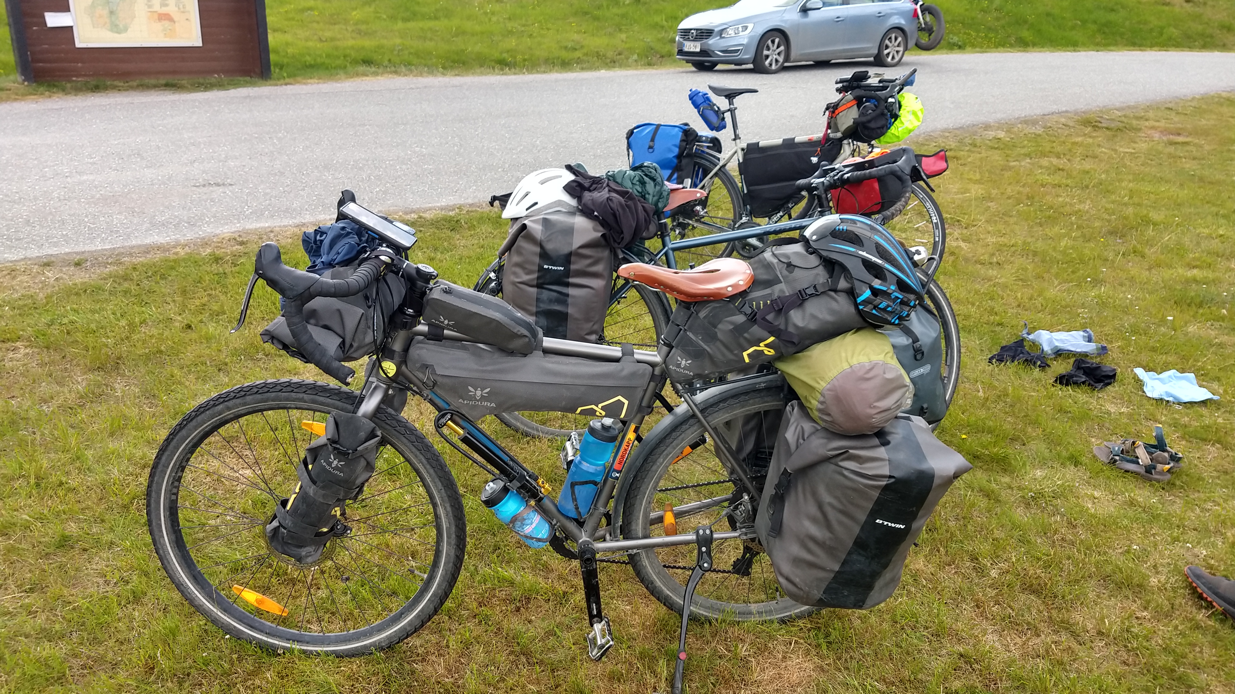
Naturally, cyclists formed the majority, drawn to that extreme point of the continent from everywhere: Finland, England, France, Germany, Switzerland -- I did bump into the Swiss-German couple again near the Cape after losing track of them two days earlier --, Croatia, Sweden. Everyone traveling at their own speed, in their own particular style, on a custom tailored Nordic adventure.
Fascinating.
gallery