The Detour
Originally I planned to climb two peaks near Benevento, one at 20 km and the other at 40 km, and then roll down the gentle slope on the other side towards the Adriatic coast. A regular 133 km ride to Manfredonia it should have been. Too bad just out of town I noticed signs saying that the road to Puglia was closed at km 48 without further explanation.
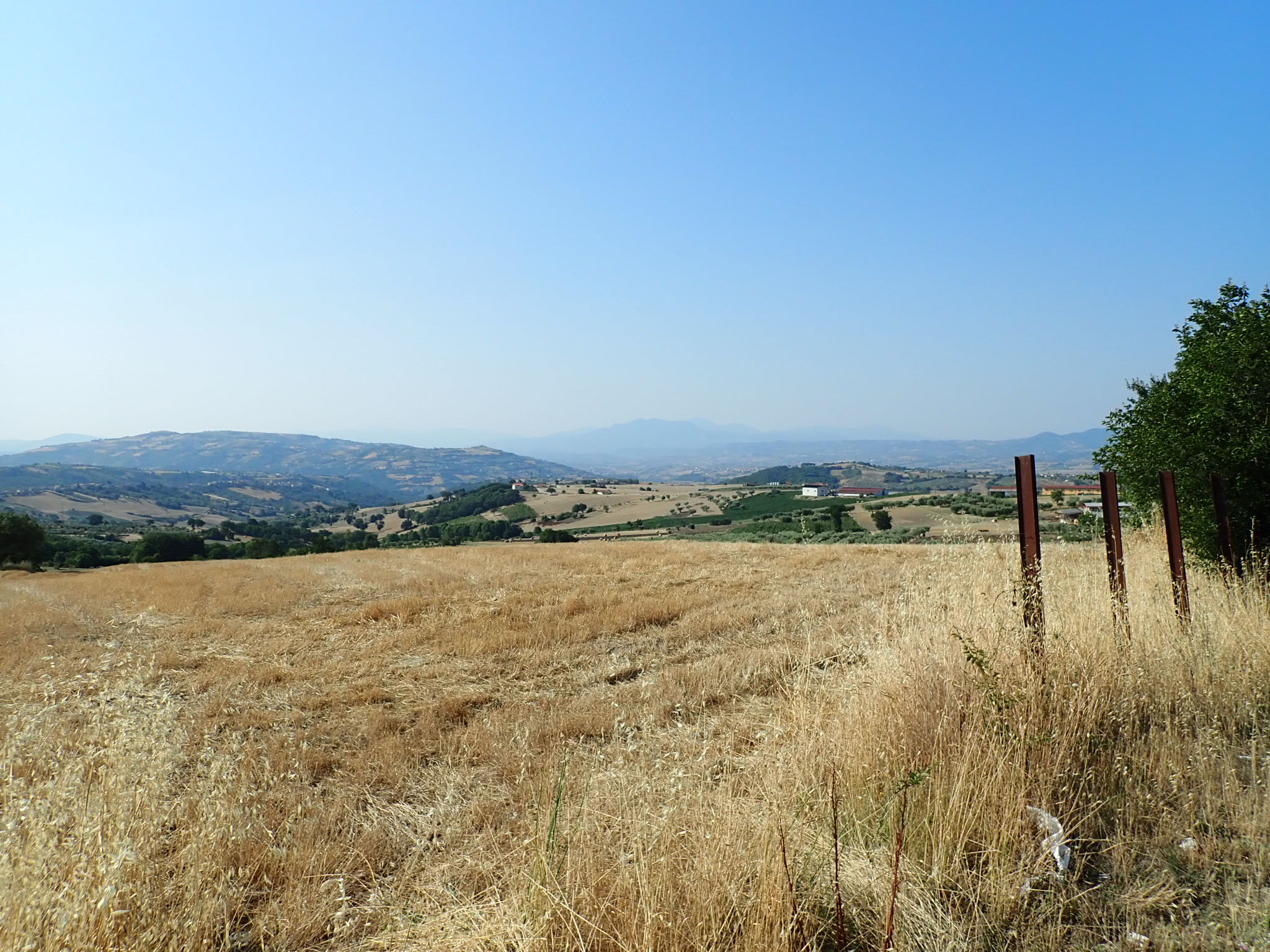
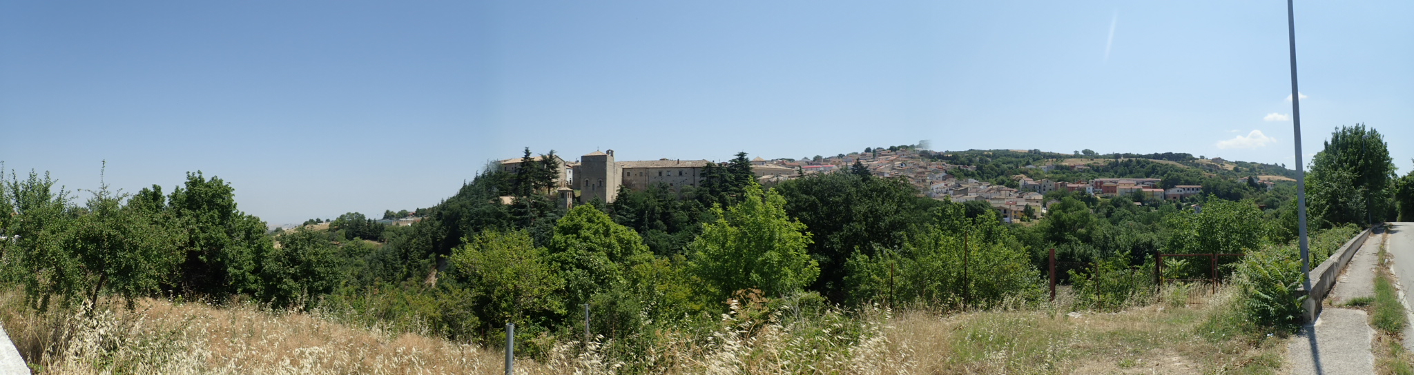
The two climbs went by easily and I was getting closer to the indicated interruption. Turns out they were constructing or renovating a galleria, so nothing I could simply walk around. There was a deviation and it led up the slopes of a hill to the north. That turned out to be an hour long climb up to around 750 m -- 100 m higher than what should have been the highest point of elevation today. At that point I was feeling a mild fatigue encroaching on my legs but I was only around 70 in. The deviation took me through a number of hilltop settlements that while looking scenic also meant extra altitude.
I grudgingly accepted the challenge. In the end this deviation added around 20 km to my itinerary.
The Apulian Plains
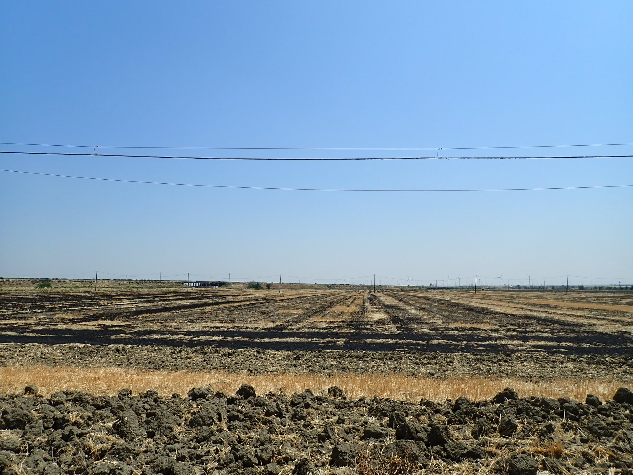
The northern part of Puglia that I had just entered is pretty flat, at least by Italian standards. Which always and everywhere means one thing above all: nasty winds. By the time I reached the plains the temperature was nearing its daily peak and I was running out of water cause I hadn't planned for that deviation.
A steep headwind and outright terrible road surface made those 60 km to Manfredonia as much a test of legs as of willpower. Frequent wildfires and ubiquitous illegal garbage dumps added to the post-apocalyptic setting. At times the air was barely breathable from the fumes. Whatever was burning under that one bridge, it engulfed the road above in a thick black cloud.
No End in Sight
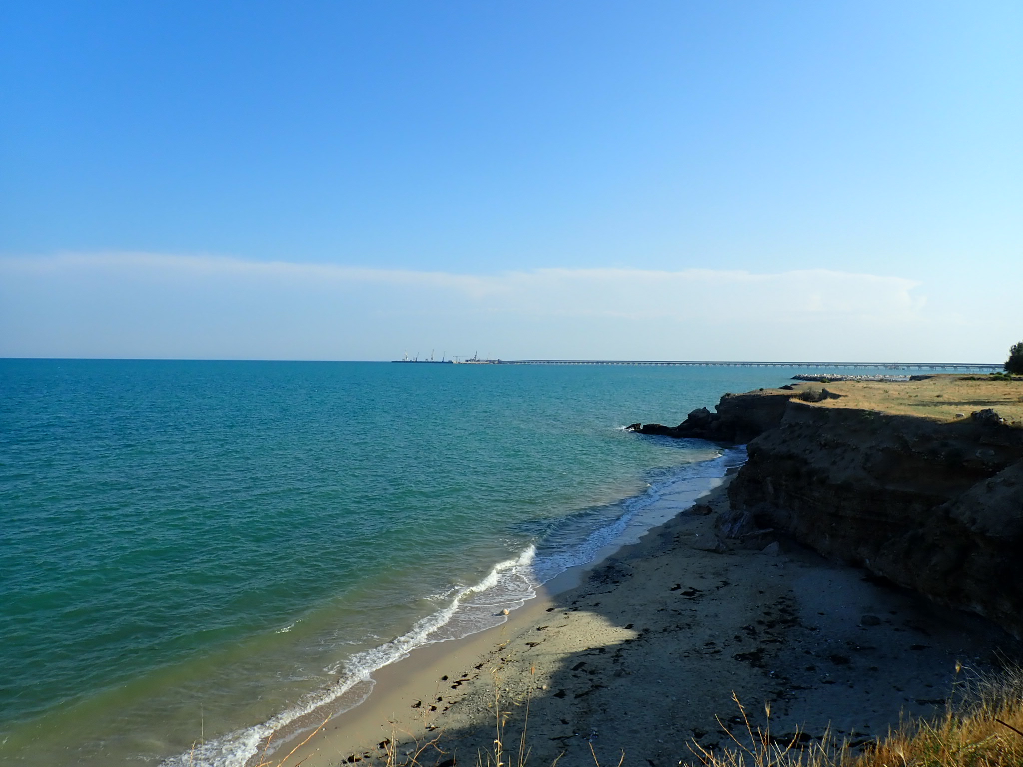
I reached Manfredonia before 17:00 so most shops including supermarkets were still closed on account of la siesta. By that point I was almost dying of thirst so I went to the beach where the castle is located. By chance I bumped into another tourer, also from Germany, who is headed south to Bari to catch a ferry to Greece. We chatted for a while and then each went on our ways. Shops were now open, hooray! I downed a whole liter of chilled orange juice (10 % sugar, that's what counts!) before slowly heading towards the campsite.
When I got there there, I was looking like an idiot. There were two campsites, one of which actually wasn't one but one of those "camping villages" for retirees. The other was closed entirely and looked like it had been for years.
The closest campsite along my itinerary was located deep into the Gargano peninsula at Mattinata 13 km from Manfredonia. And more importantly, behind a hill. I had no choice though so I didn't hesitate and tractored through powered by orange juice.
The whole odyssee took an insane 184 km and over 11 h of riding. I'mcurious about the net elevation gain but without the Garmin I don't have access to these data. One of the things that OSMAnd is lacking. At least the campsite is clean and I got a calm pitch in the corner. To my complete bafflement they actually asked for the "European Green Pass", a. k. a. the digital vaccination certificate. Amazingly the woman at the reception must be able to read QR codes with her own eyes because she didn't actually check the values I was presenting. I guess it's just a gesture of courtesy that they ask at all.
gallery