I must have slept an hour at that Alta gas station; the cashier didn't seem to mind. Afterwards I felt fresh, I could conquer the world. That mood might help explain why I scrapped my plans of camping on the Altafjord and instead started looking around for an apartment near Skjervoy. Which is like 220 km from Alta. Same as with the tailwind two days ago, I just had to use that short window of really nice weather. Rolling out of Alta I spotted a school of dolphins in the fjord which liftet my spirit even further.
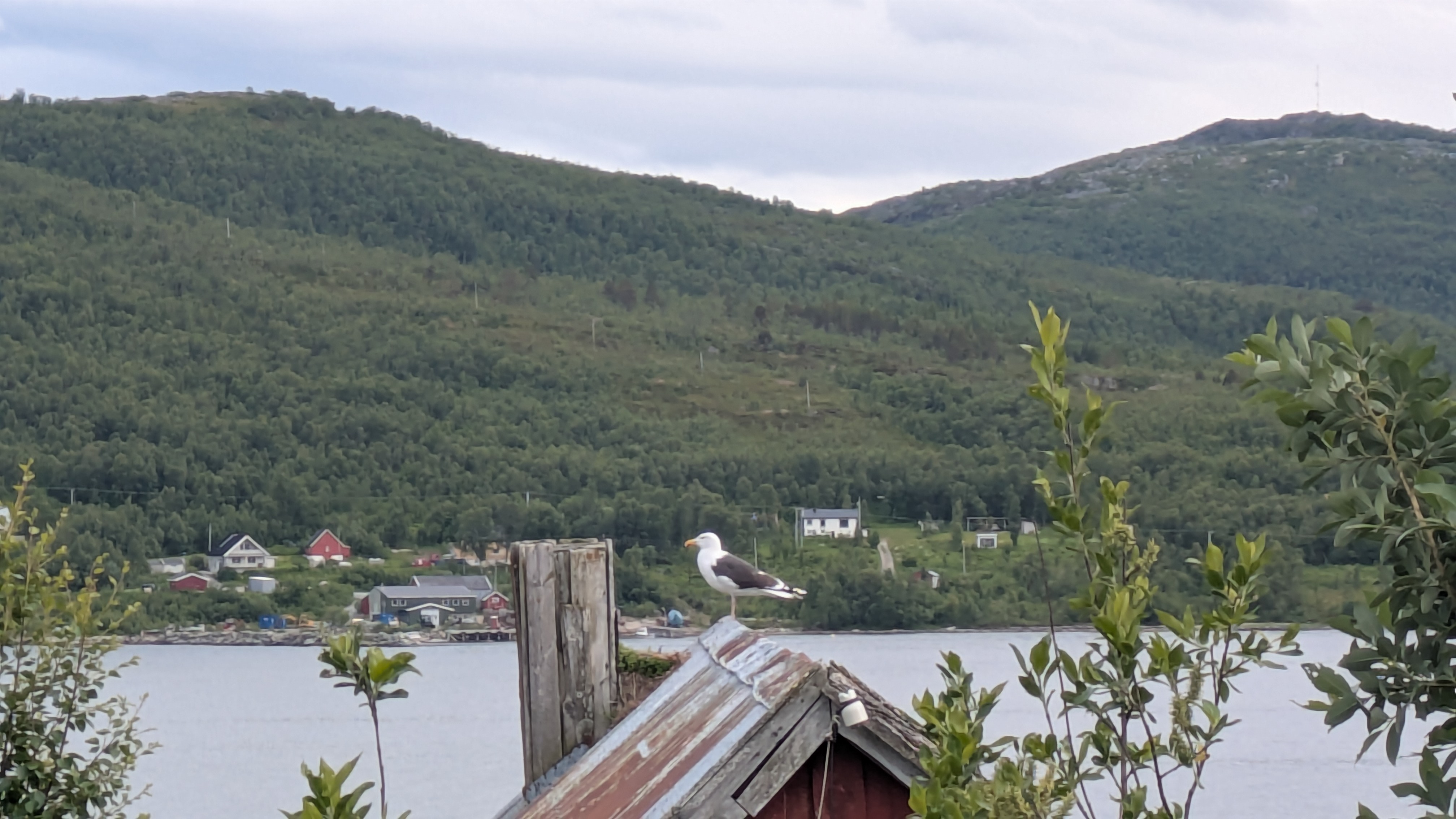
The first fifty or so kilometers to the start of the Langfjord flew by, as did the memories from my first two rides to the Kapp that I associated with various points on that route: where I stopped for a break, where I chatted with other tourers, where I encountered reindeer, etc. What I didn't remember was that the bottom of Langford is such a magnet for birds. A whole new generation of oystercatchers is being bred there right now, and the seagulls roam between mountain and sea like they own the place.
Past Alta the weather is noticably warmer, but at the same time more humid. For me that meant I could finally ditch the long hiking pants that I was wearing over the bibs which made riding a little uncomfortable. Which I regretted a few kilometers later when I was chased up the steep section of a climb by mosquitos and horseflies. That's the north for you: the moment wind and rain are gone, the bugs come out to eat you alive.
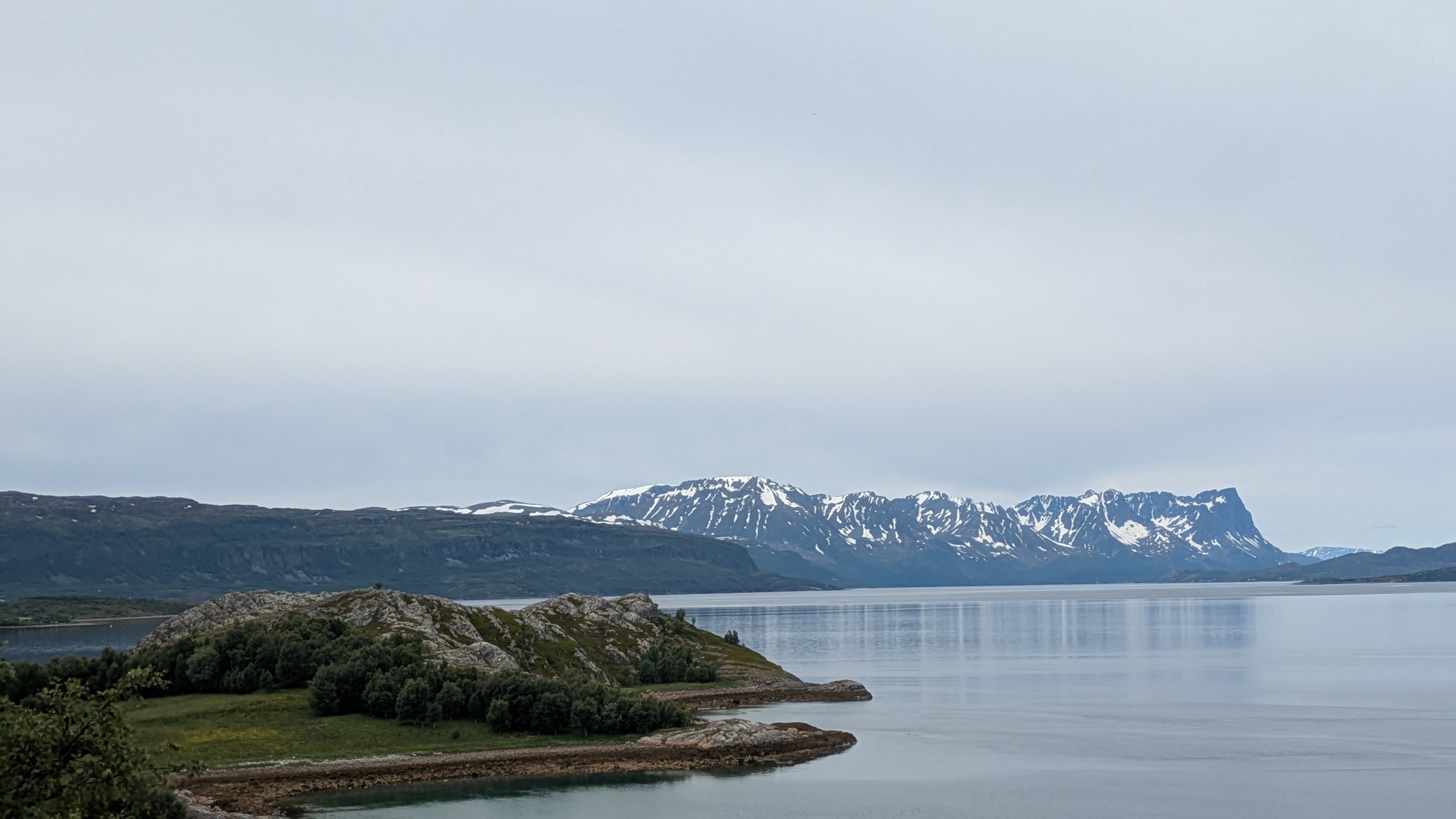
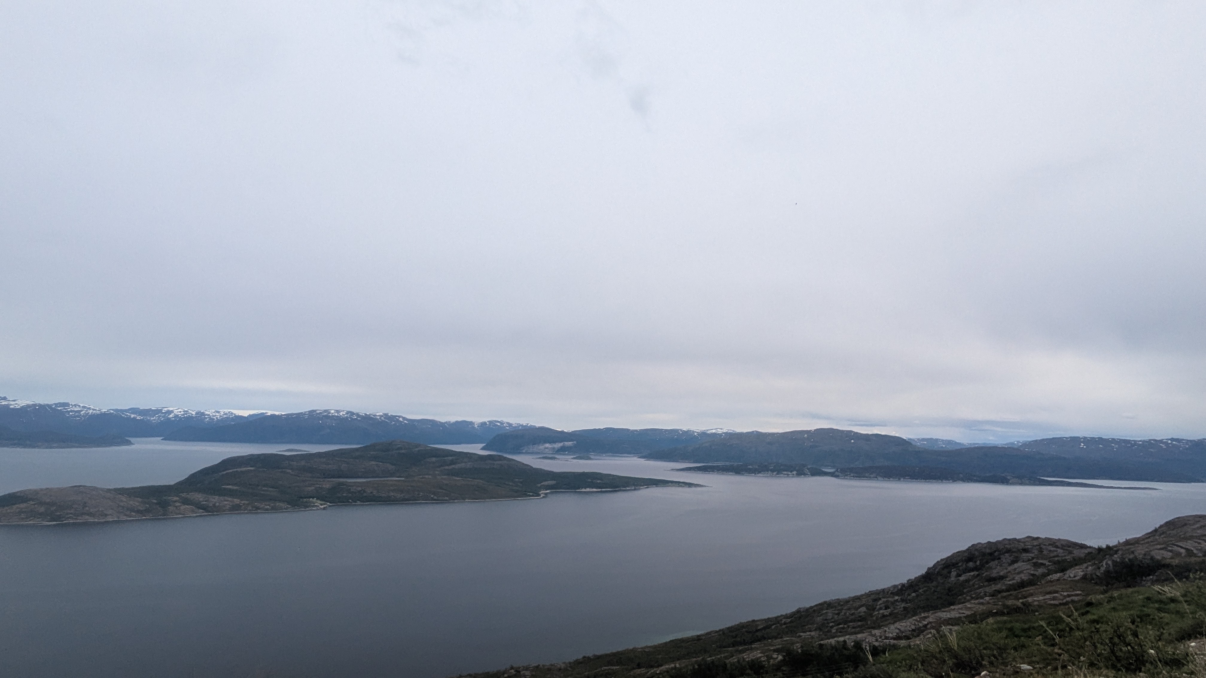
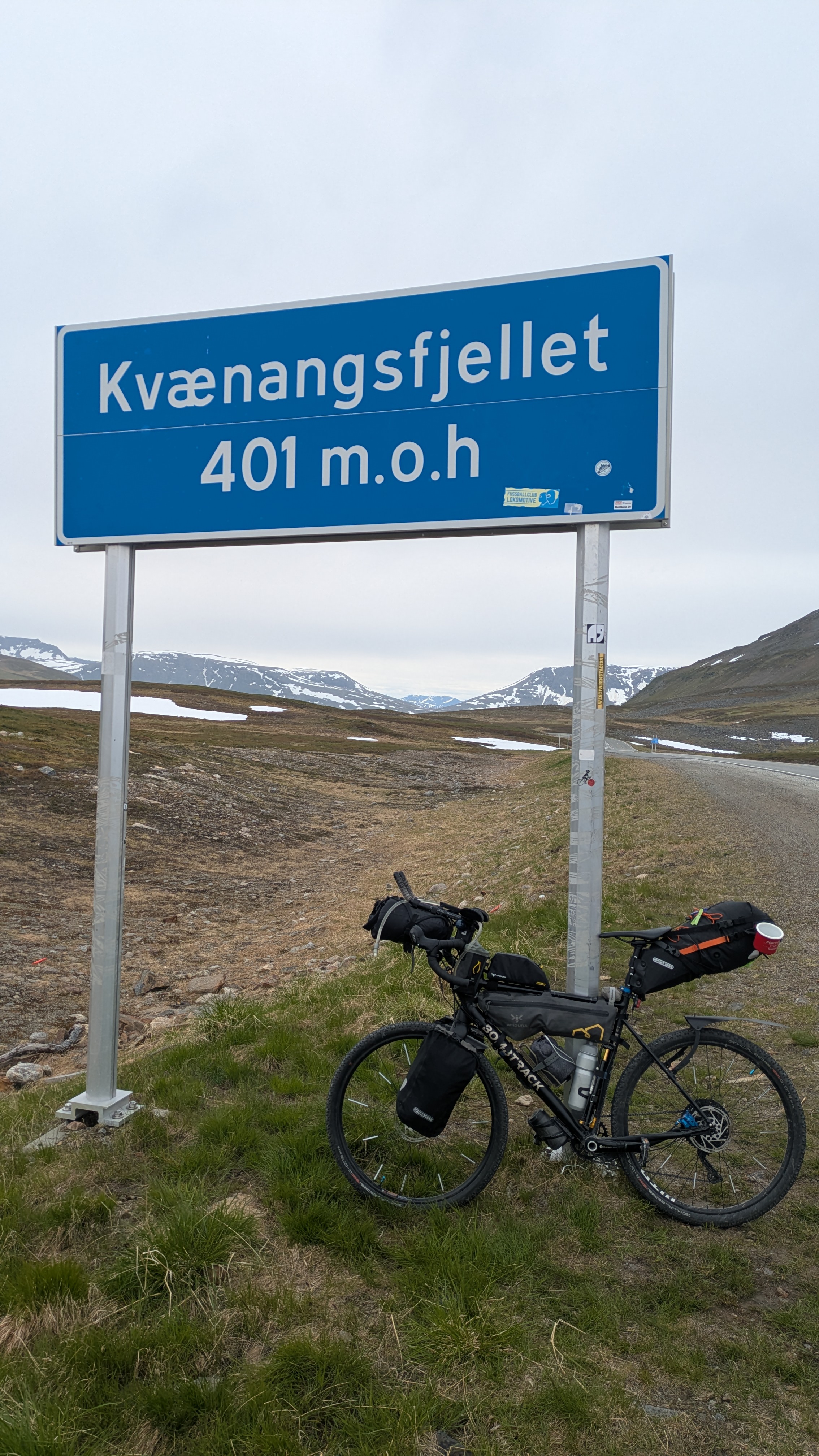
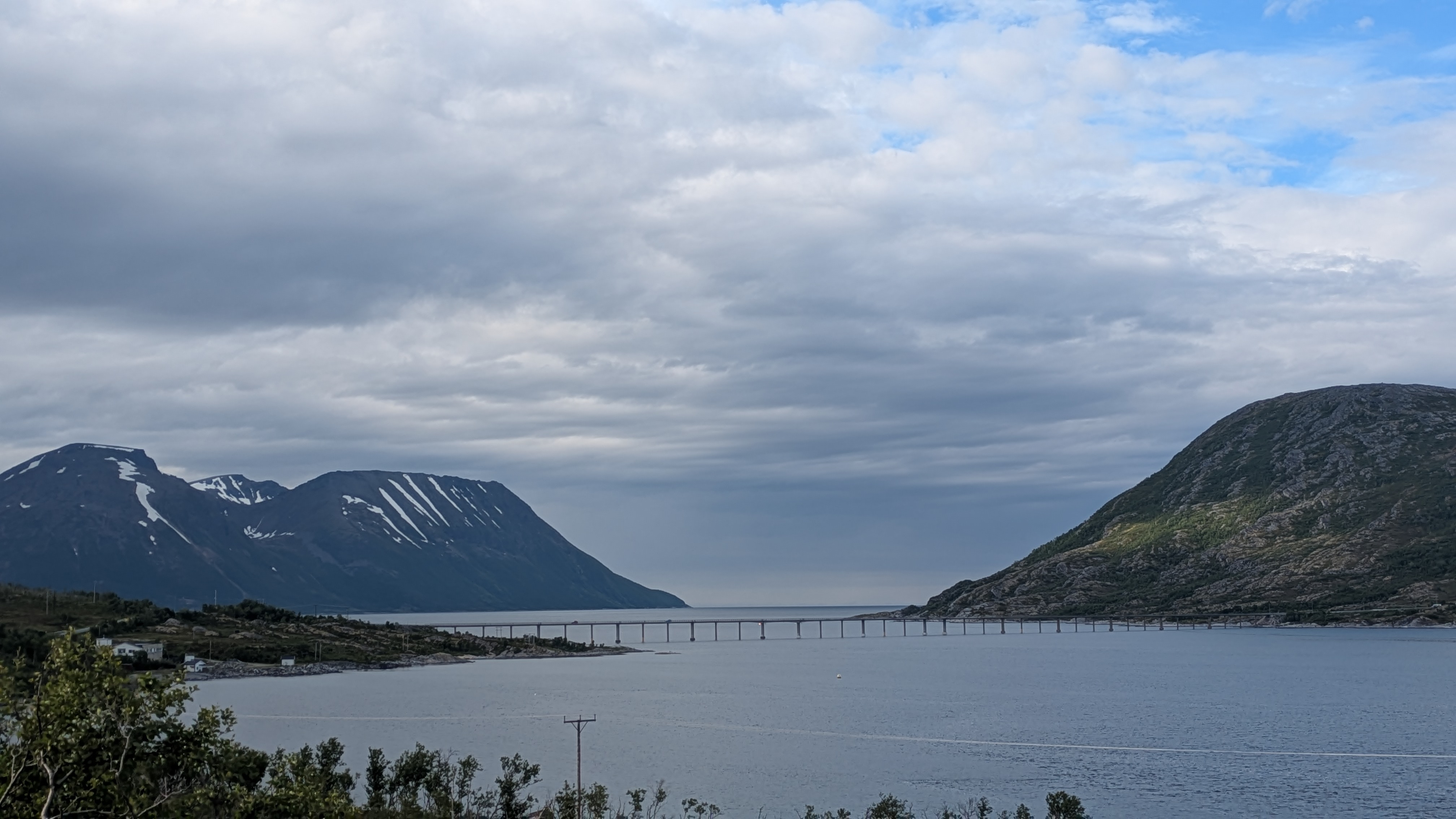
The coastal road in these parts leads over quite a few mid-sized hills that can reach around 300 to 400 m over sea level. The tallest of them, Kvaenangsfjellet, sits on top of a cliff overlooking the sea. It is so exposed that nothing grows up there except the type of moss that is prized by reindeer. None of these climbs are really hard by itself, but over the course of a day one accummulates a lot of elevation gain. Today it was 2600 m of climbing which over 220 km means an over one percent average gradient. Good thing I went with the lightest ever setup that I've had in Norway.
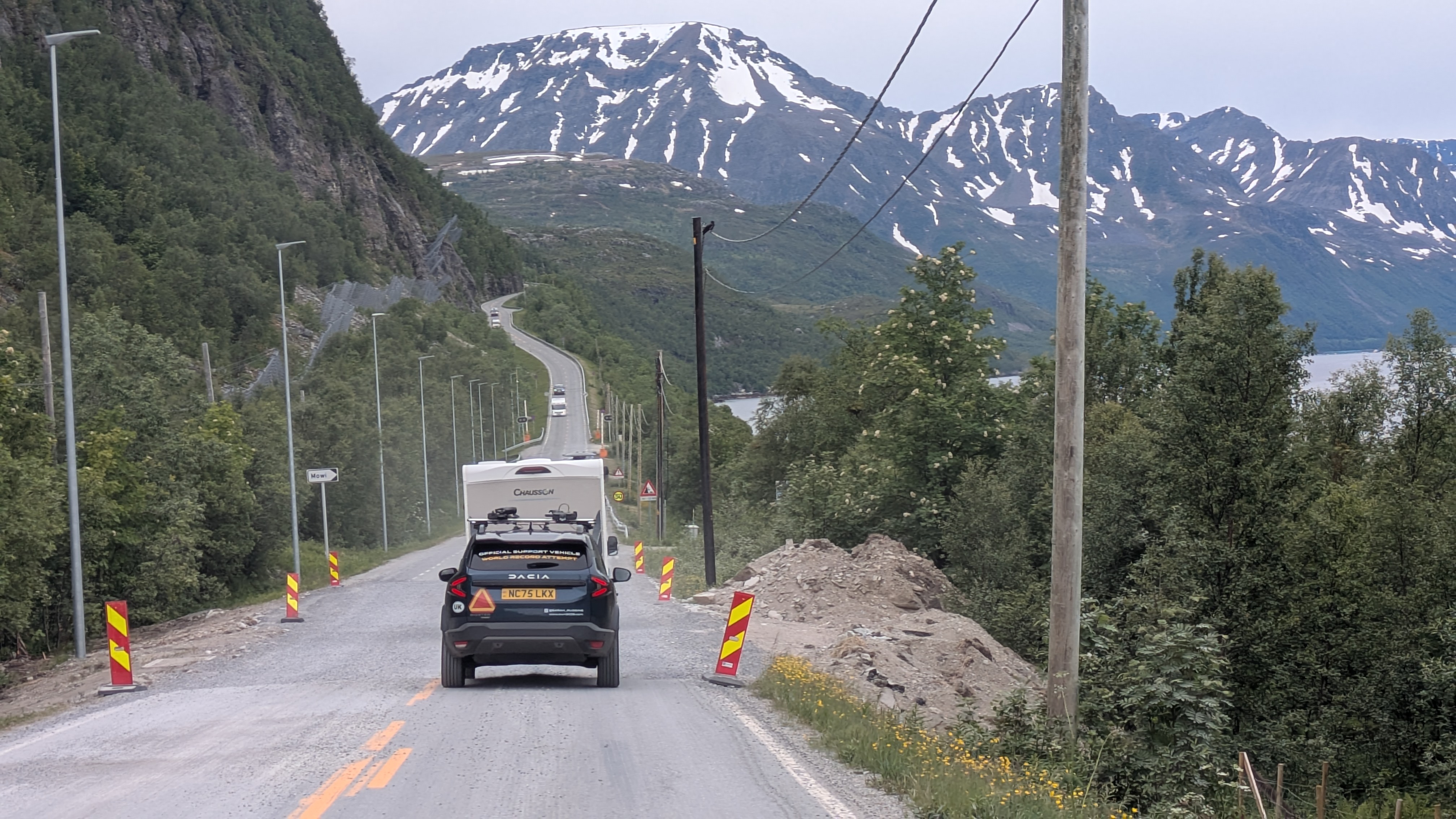
In a traffic jam just after Kvaenangen I bumped into the support car from Sarah Ruggins' world record attempt from Spain to Nordkapp -- I chatted with them through the window and got the news that she succeeded. Amazing.
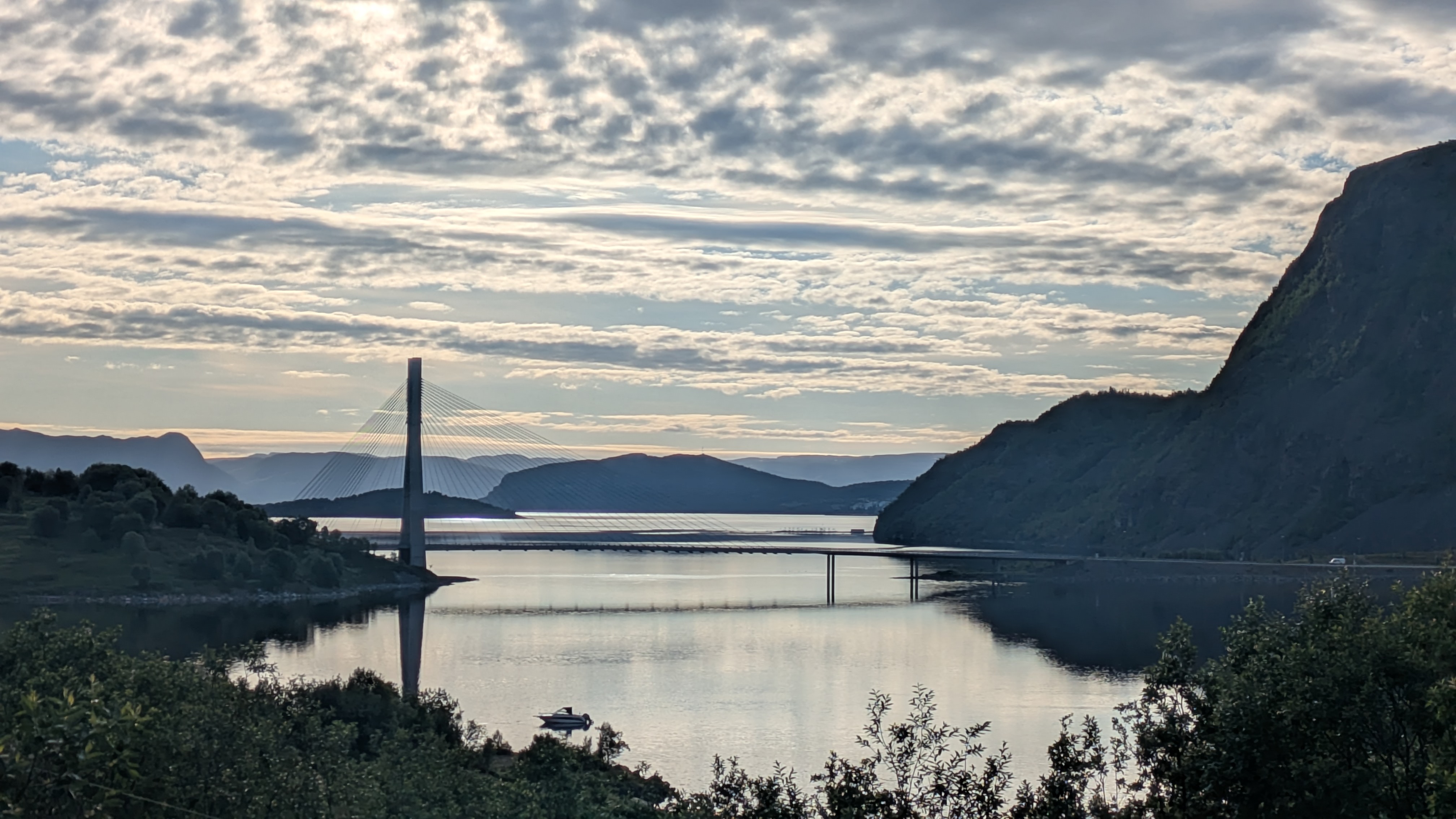
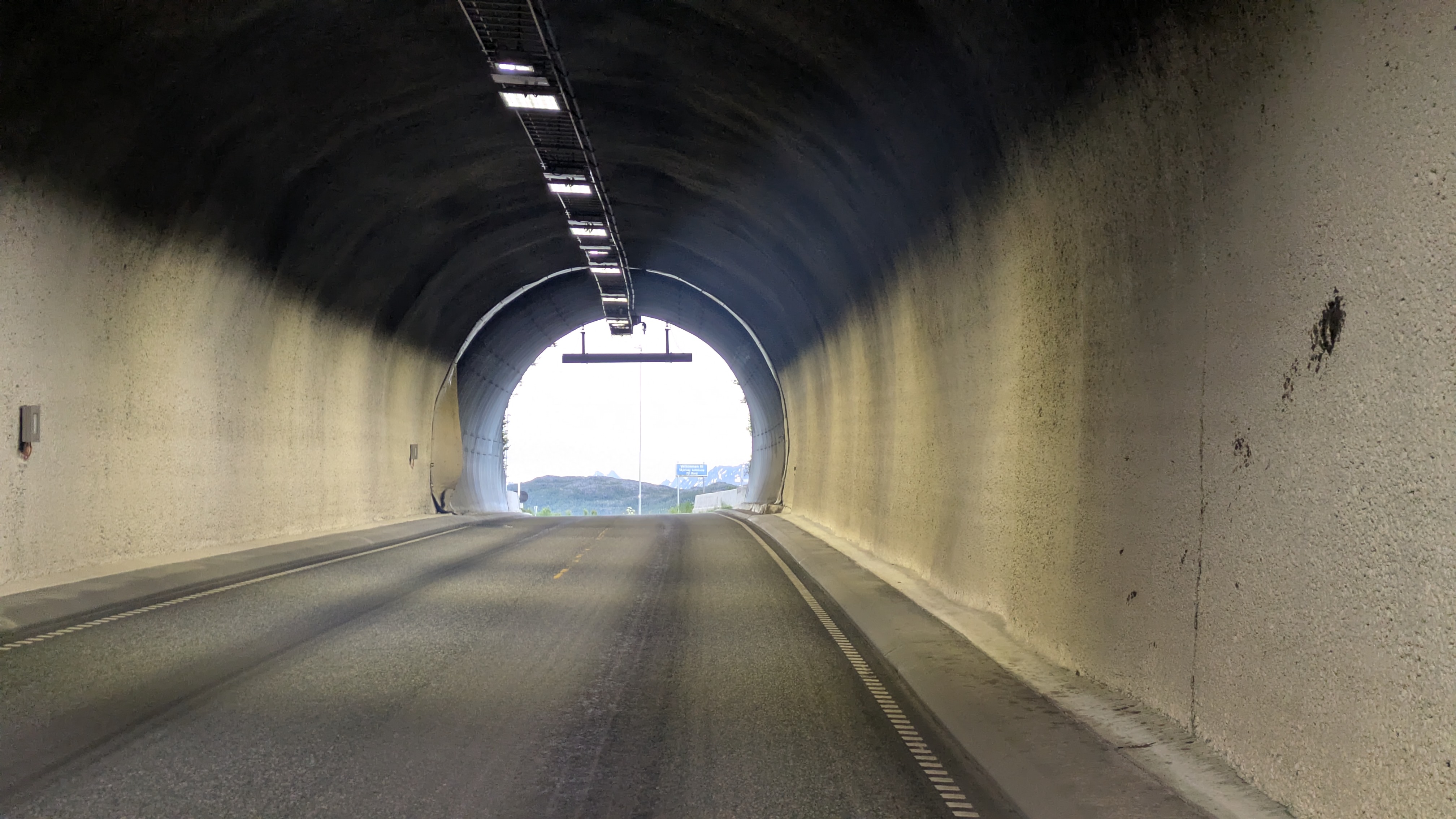
The island road that leads out to Skjervoy was particularly dire. Over 35 km I don't think it's ever level, and with the undersea tunnel included it amounts to around 600 m of elevation gain. Which eroded my hopes pretty quickly of reaching the room early that I had booked in Skervoy.
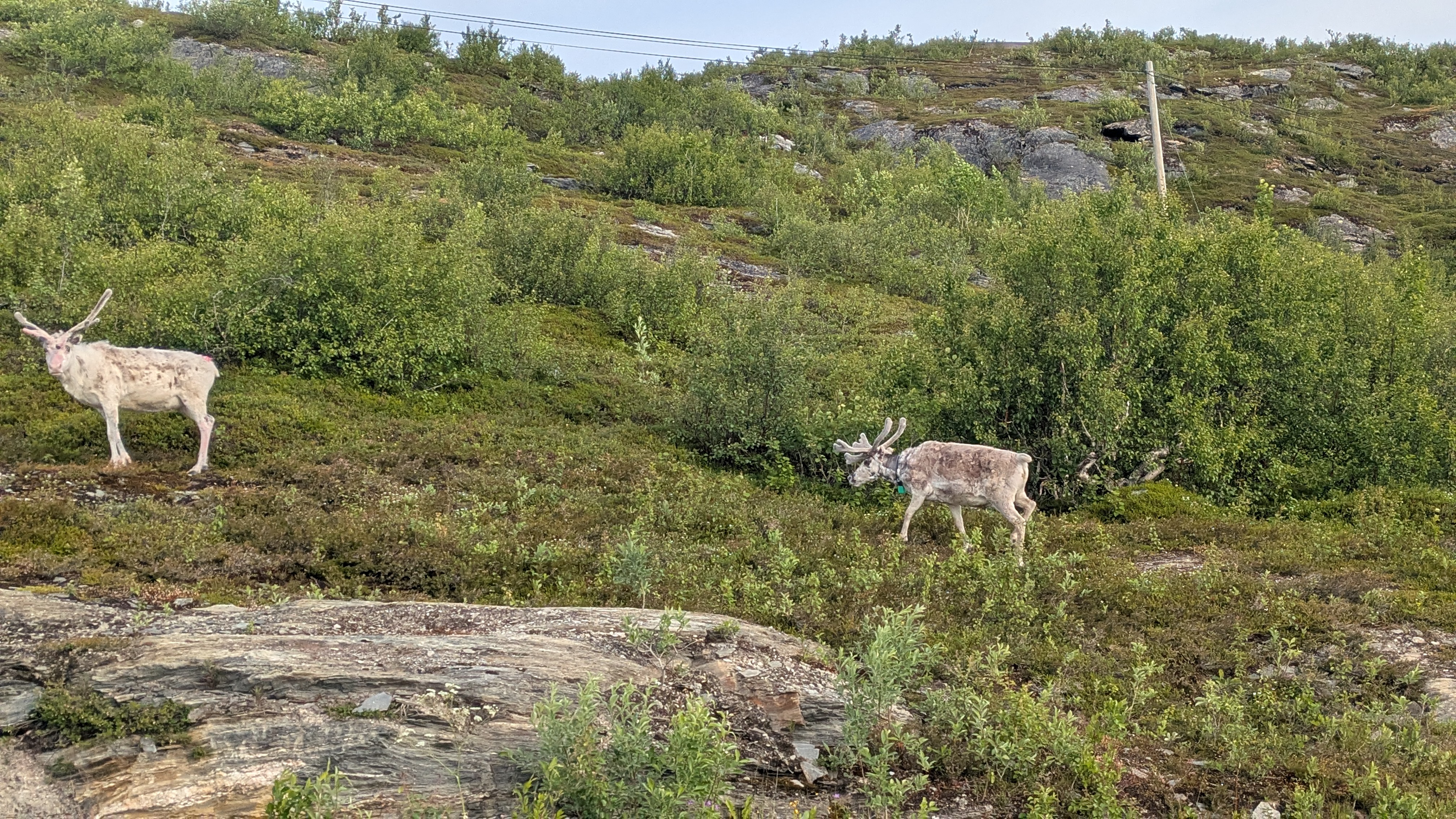
At some point I've crossed the 70th degree of latitude. Going south vegetation is getting more plentiful, and the wildlife changes with it. Today was the first day that the "reindeer crossing" signs started getting interspersed with "elk crossing", and occasionally even "store elgfare": great danger of elk. Not that the elk seem to be too bothered by this as not a single individual deigned to show up at the roadside.
gps tracks
gallery