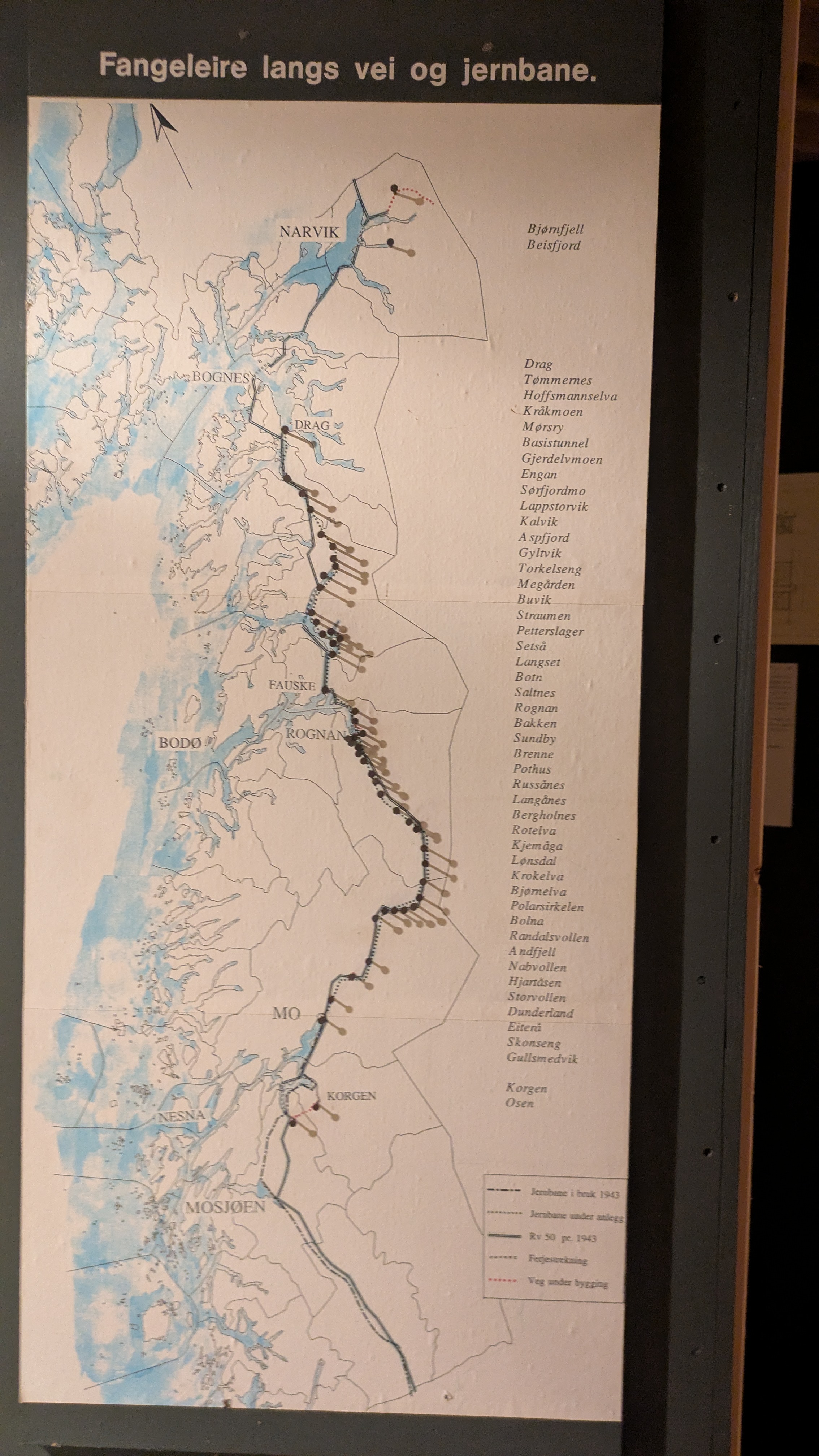
Leaving Fauske around noon I followed the E6 south toward Rognan. Traffic on this "main transport artery" of Norway wasn't too bad. Occasionally I had to let a cargo truck or campervan pass but for the most part I could just ride normally like on any other road. Near Rognan I could take a small service road that went parallel to the main road and had much less traffic. Which is how I first stumbled on the World War II history of the place: there is a monument to the Yugoslavian prisoners of war that were forced to build the "blood road" (blodveien) to connect northern Norway to the German road network.
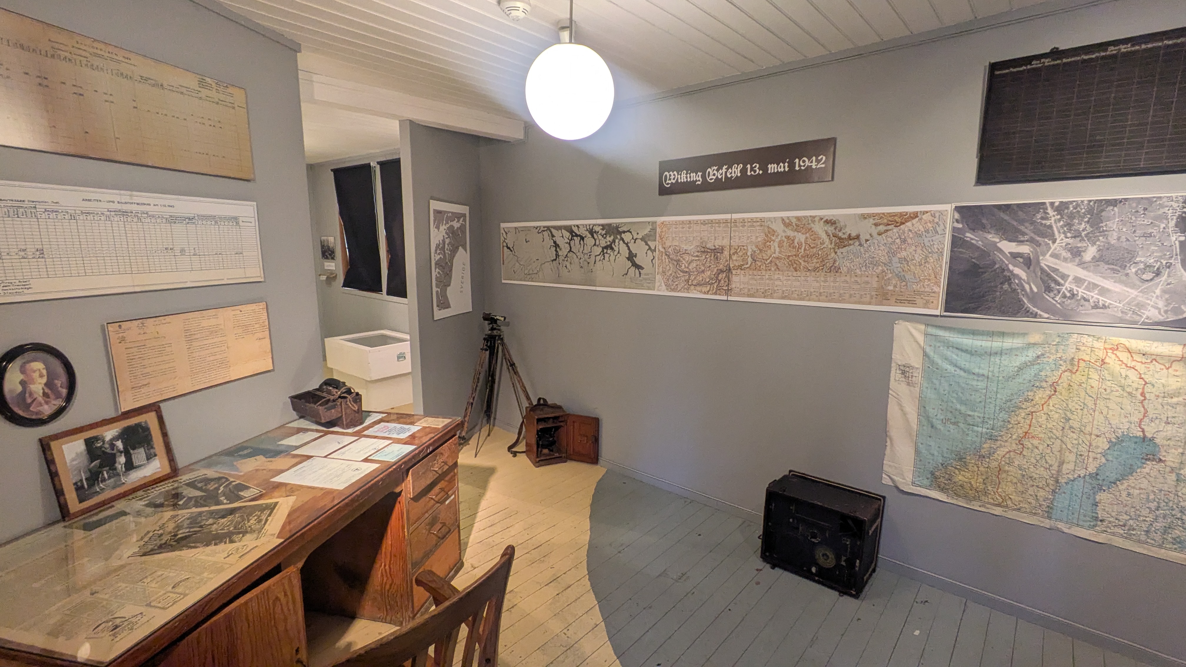
Arriving in Rognan I noticed a sign indicating the "Blood Road Museum" and decided to pay it a visit. A guided tour had just started that I could join, and the presenter kindly switched to English just for me. Apparently by the end of the war the population of the region had quadrupled from the German occupation, making it home to about 4000 soldiers and 10000 forced laborers in concentration camps. Like with the Yugoslavian prisoners up in Karasjok, they were brought here with the goal of working them to death in infrastructure projects of Organisation Todt. In addition to starvation, torture and brutal executions were commonplace, earning the result of their work the name "blodveien" -- Blood Road. Interestingly, the early German plan of continuing the Nordlandsban (railroad) north until Kirkenes were scrapped due to the massive amount of ressources that it required, and railway construction did not progress much further than Mo i Rana during the war. The section to Bodo as it exists today was completed in the decade following the war.
Saltfjellet
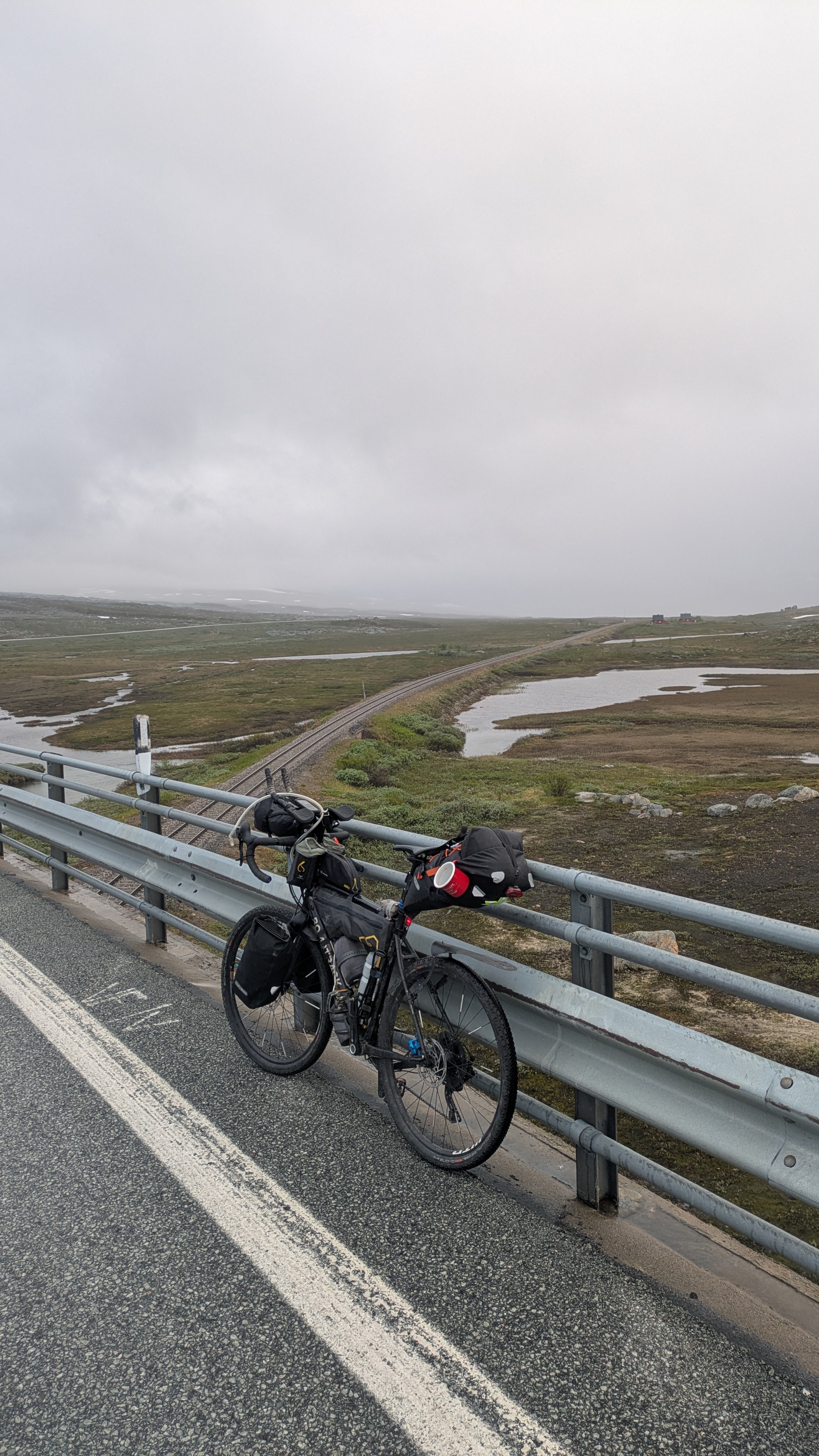
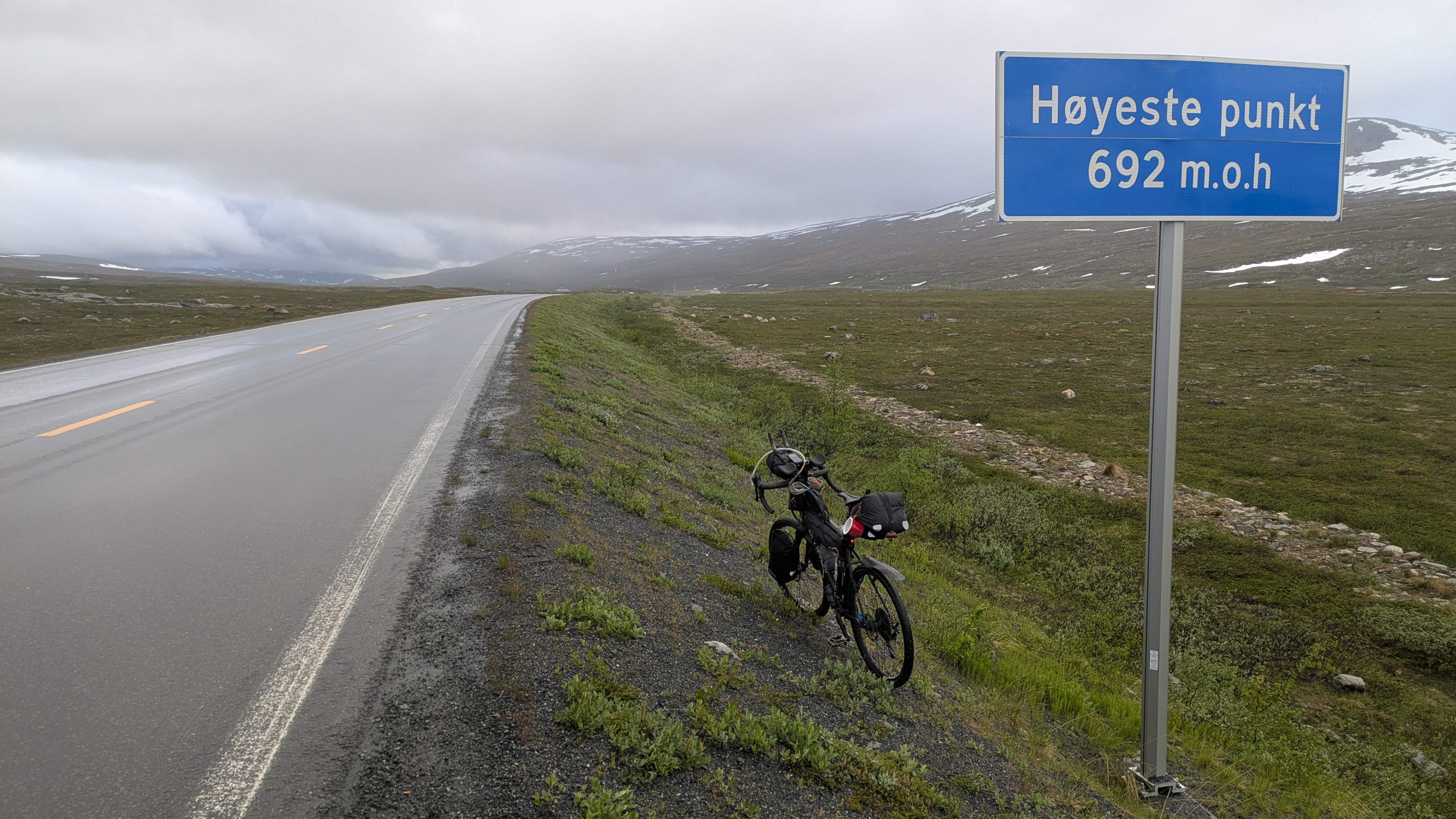
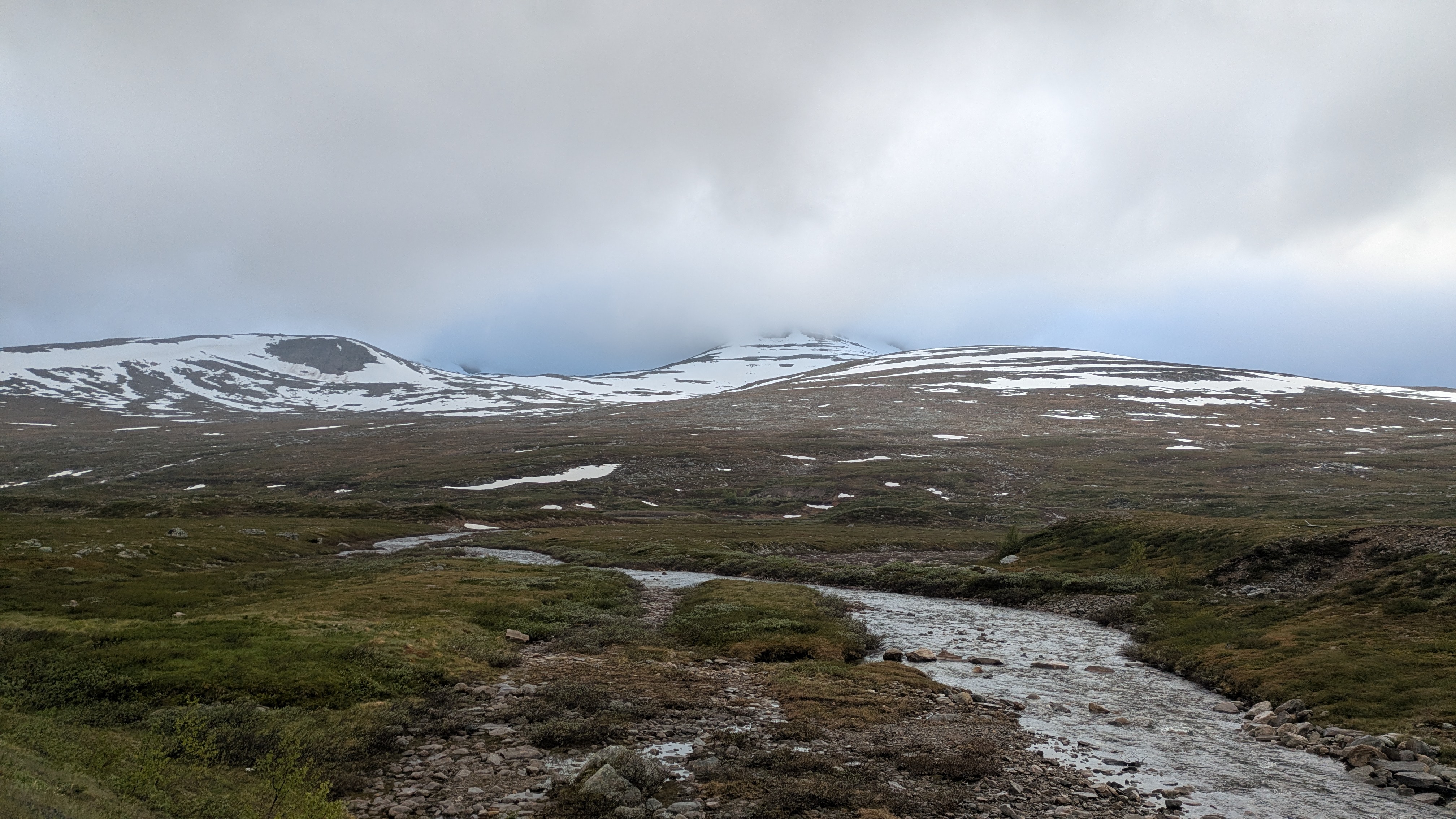
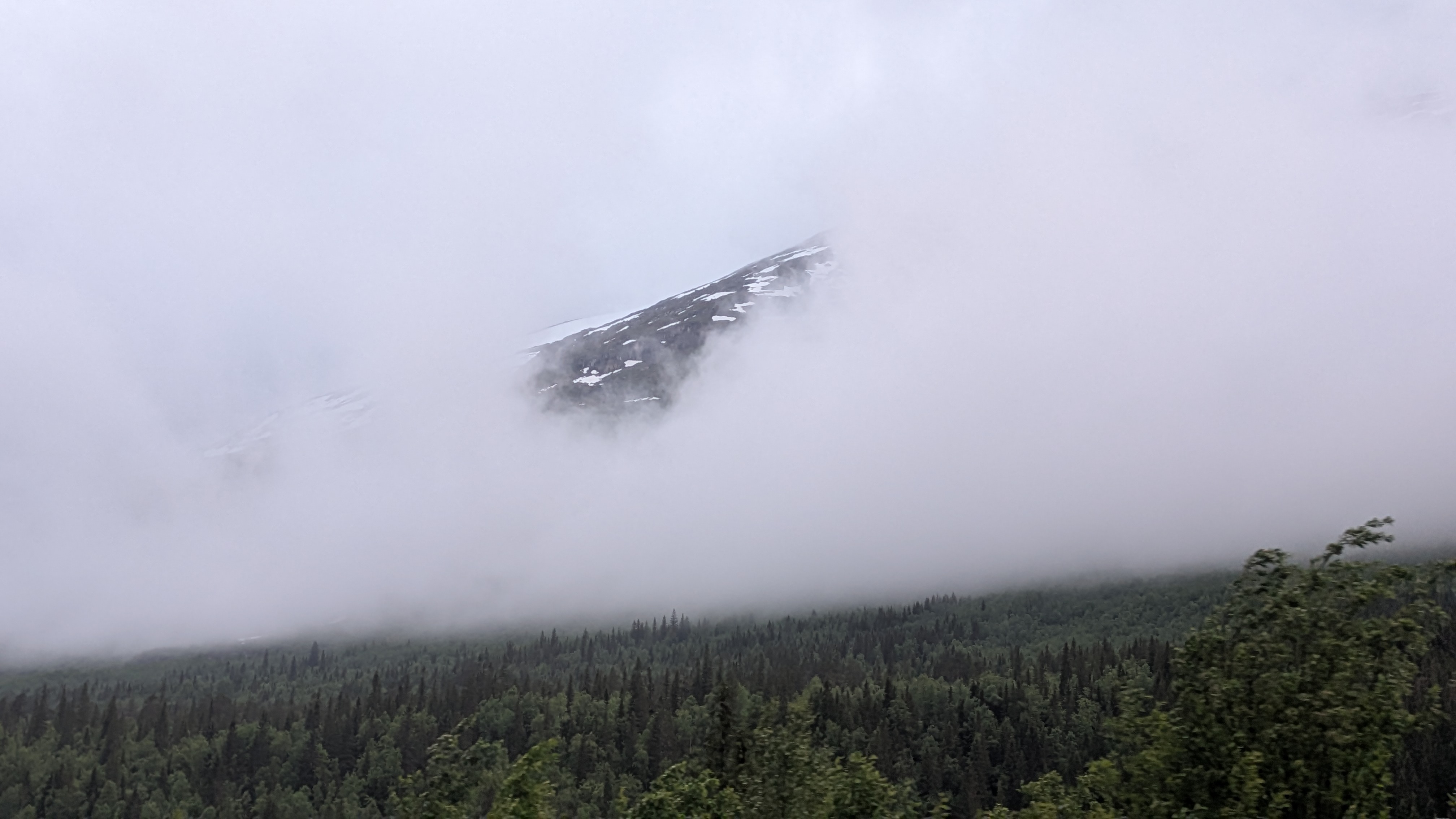
After Rognan the climbing starts, from almost sea level to 692 m at the summit of Saltfjelet pass. The road starts out wide but eventually becomes narrower while it climbs, continuing without a center line marking for a while. On the high plateau near the pass summit it widens again before it becomes a neat, broad toll road on the far side of the pass. After reaching the high plateau at around 660 m one still has to ride for a couple kilometers before reaching the highest point with the pass sign.
About halfway up the climb I met an Australian fellow on a Canyon whos plan for after Nordkapp was to take the road through Finland and then continue south until Greece. I'm a little jealous about everybody's plans. The scope of my little not even three weeks trip seems so much smaller in comparison.
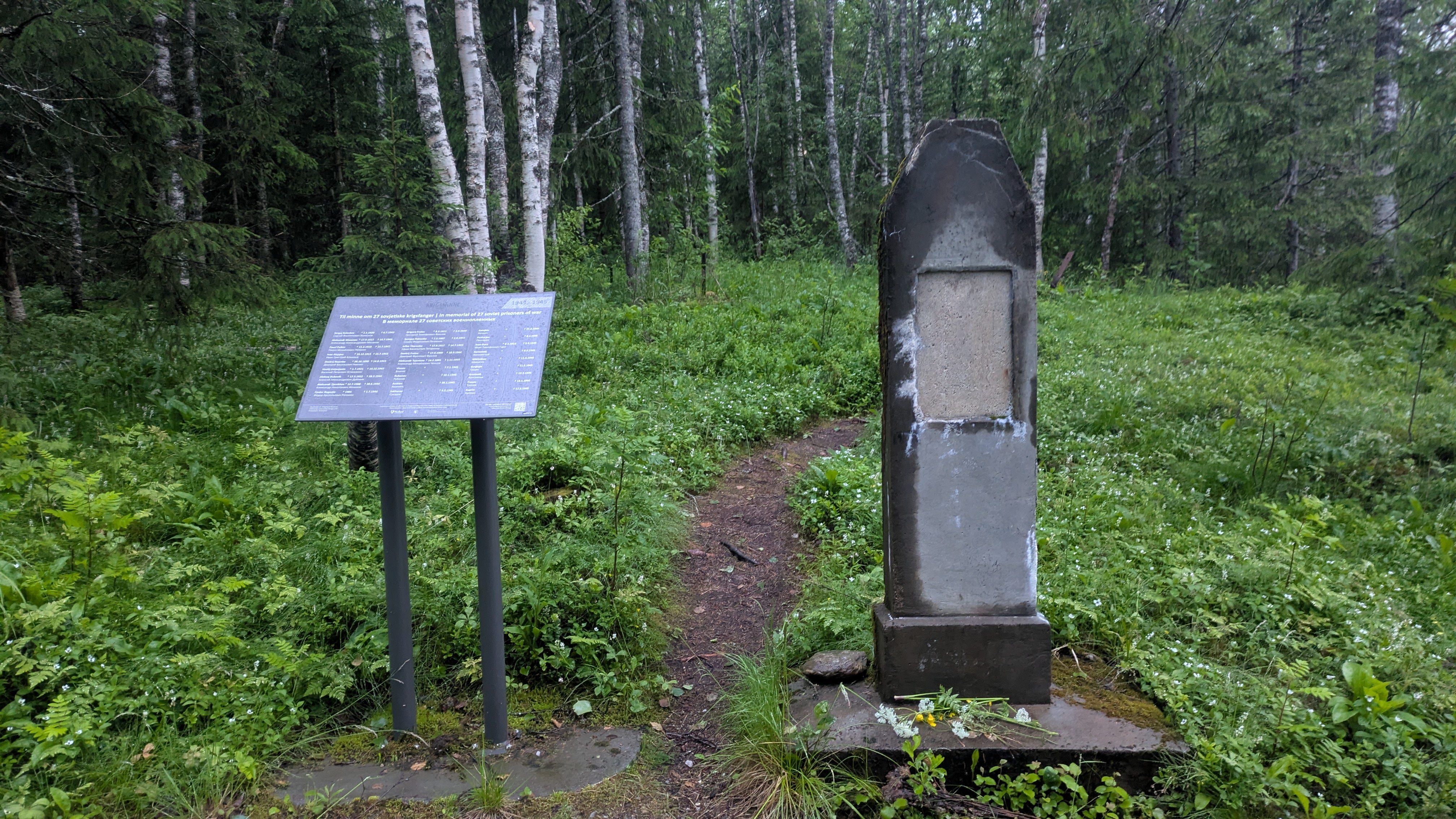
Numerous war memorials line the road. The forced laborers involved both in its construction and in that of the railroad were housed in several camps along the valley, some of which are accessible and have informational tables.
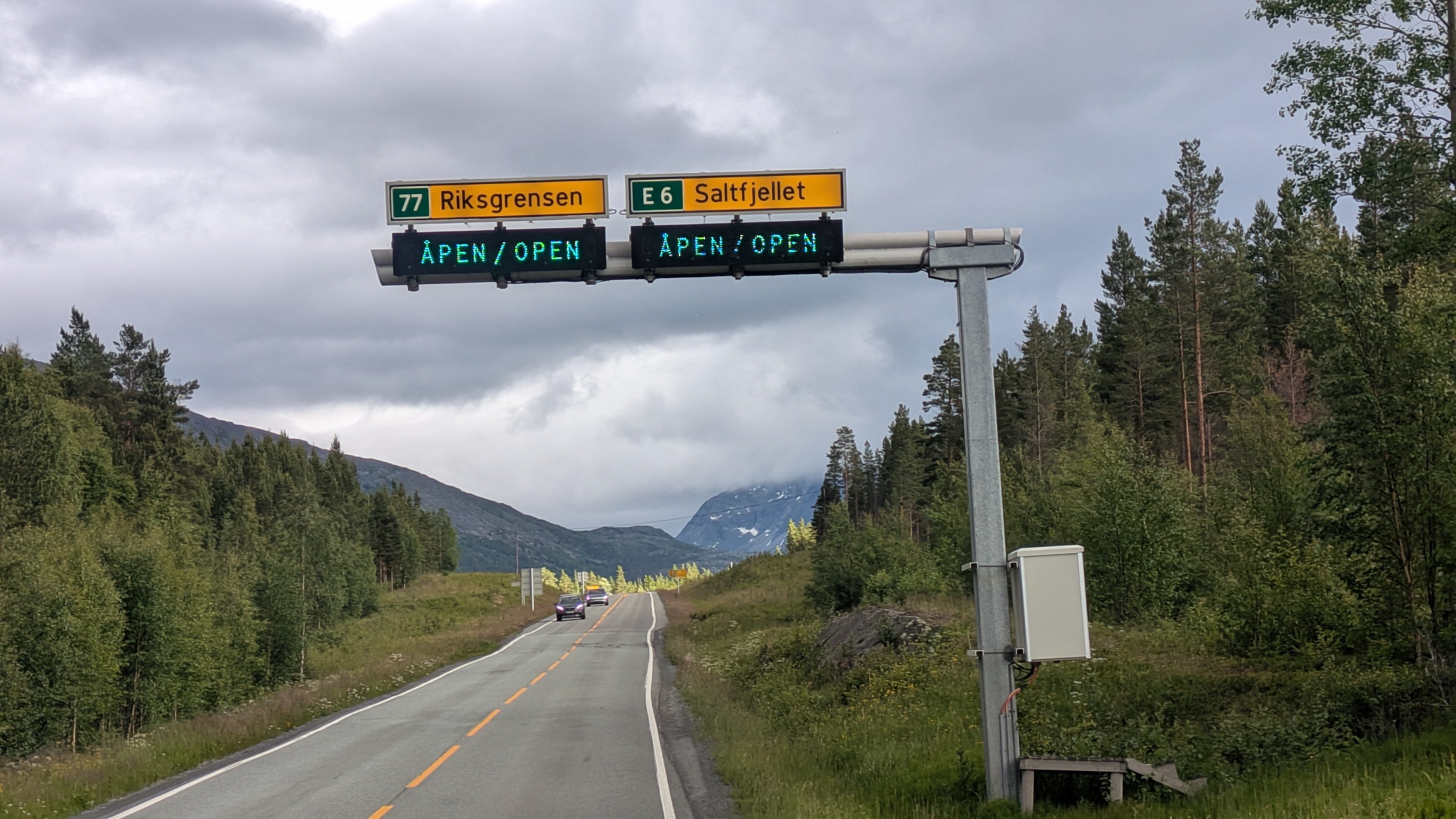
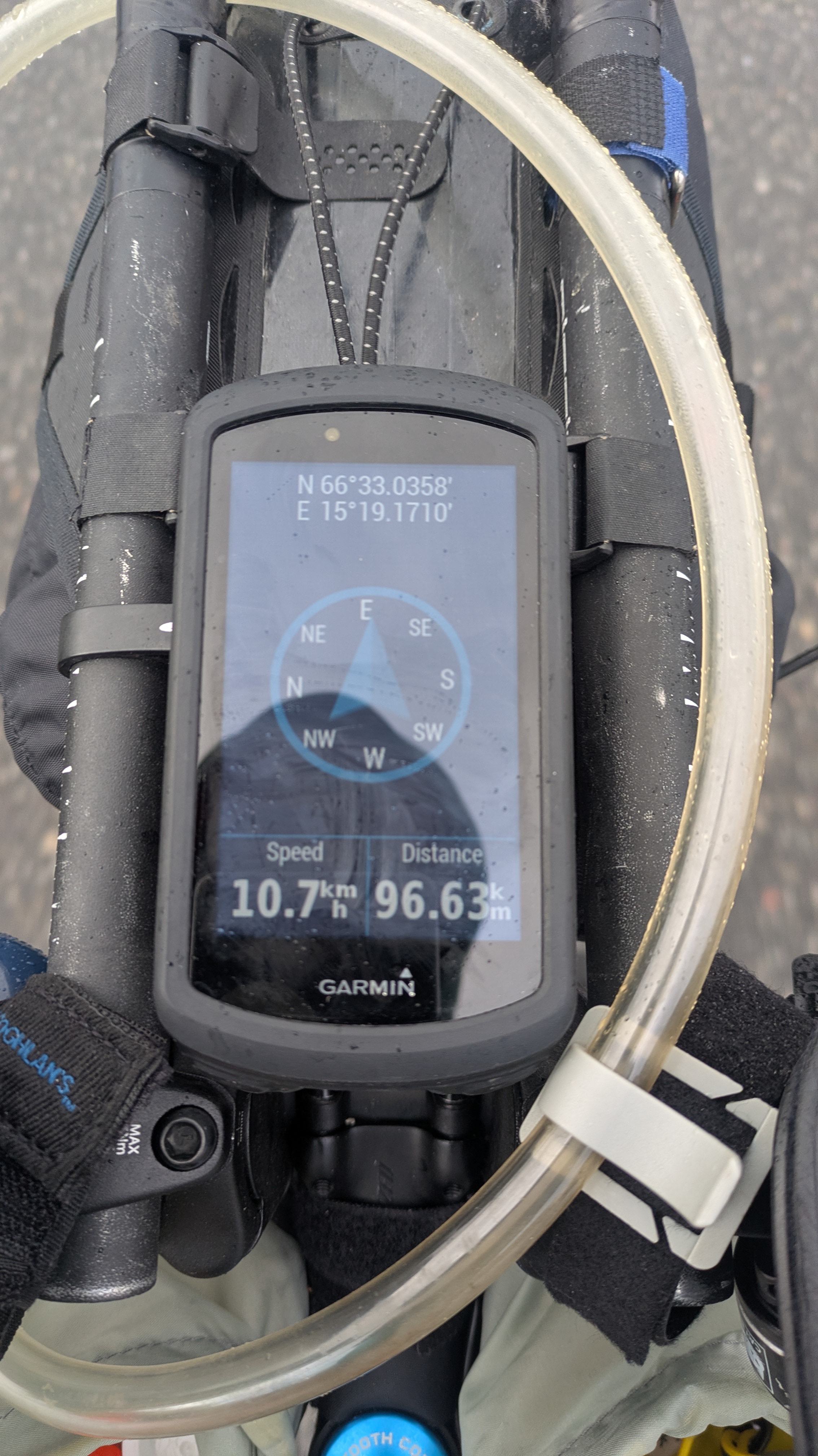
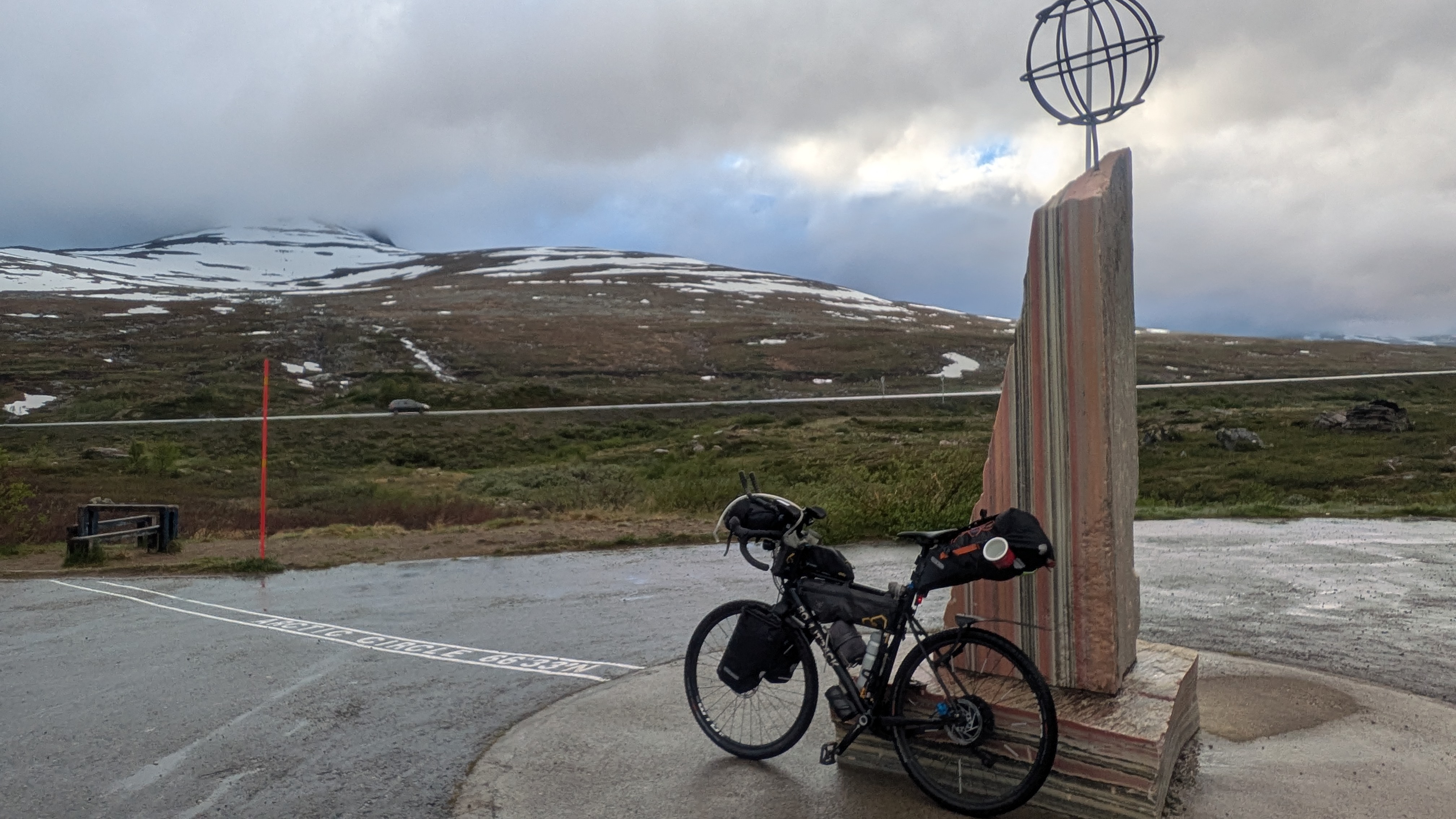
Saltfjellet is the only point in Norway where the arctic circle can be crossed on a road. The alternative coastal road has a gap in that latitude that one has to take a ferry to get across. This year I wanted to experience the crossing on land. At 66 degrees and 33 minutes there is a large building called the "Arctic Circle Center" with a gift shop and a restaurant with a reindeer focused cuisine inside. No informational material, just sales. I spent an hour there warming up before I took on the descent.
Night Falls on Rana
South of the arctic circle there's no polar night anymore. I've not experienced a proper night since I landed in Alta so I'm curious what impact nights will have on my riding style. Of course up here the "night" is still rather short and by no means dark. Given all the dark and gray colors from the rain, the result is a rather "gloomy" time. And rain it did for almost the whole downhill from the Center.
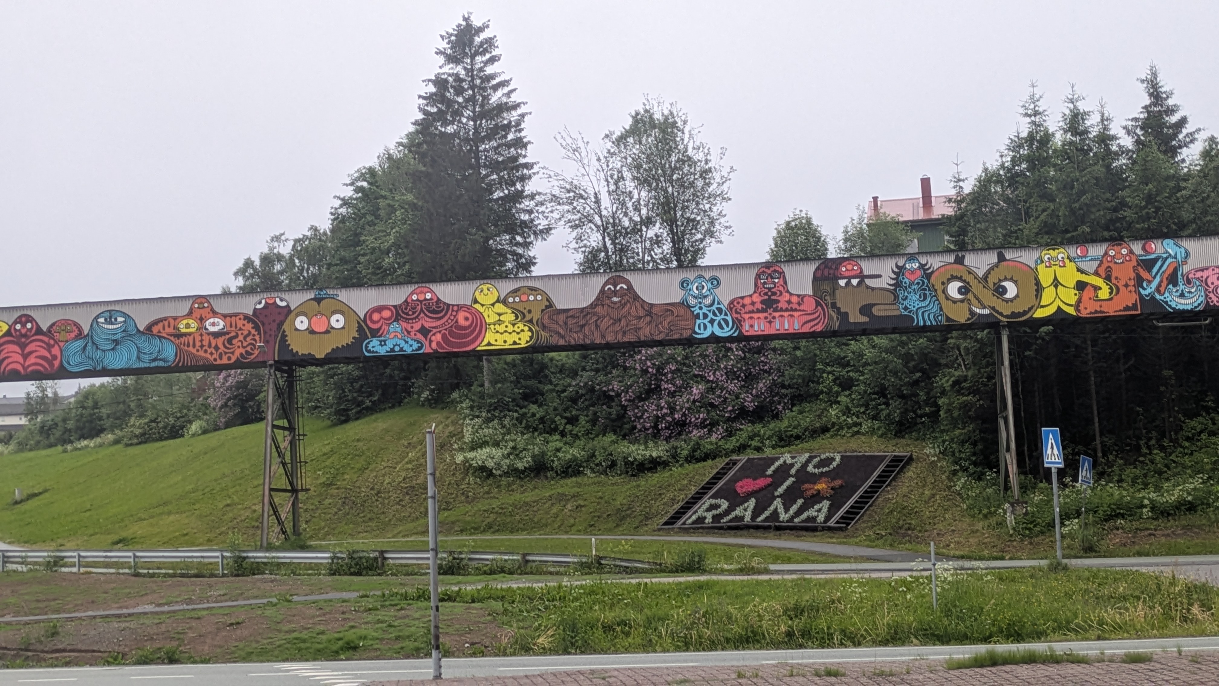
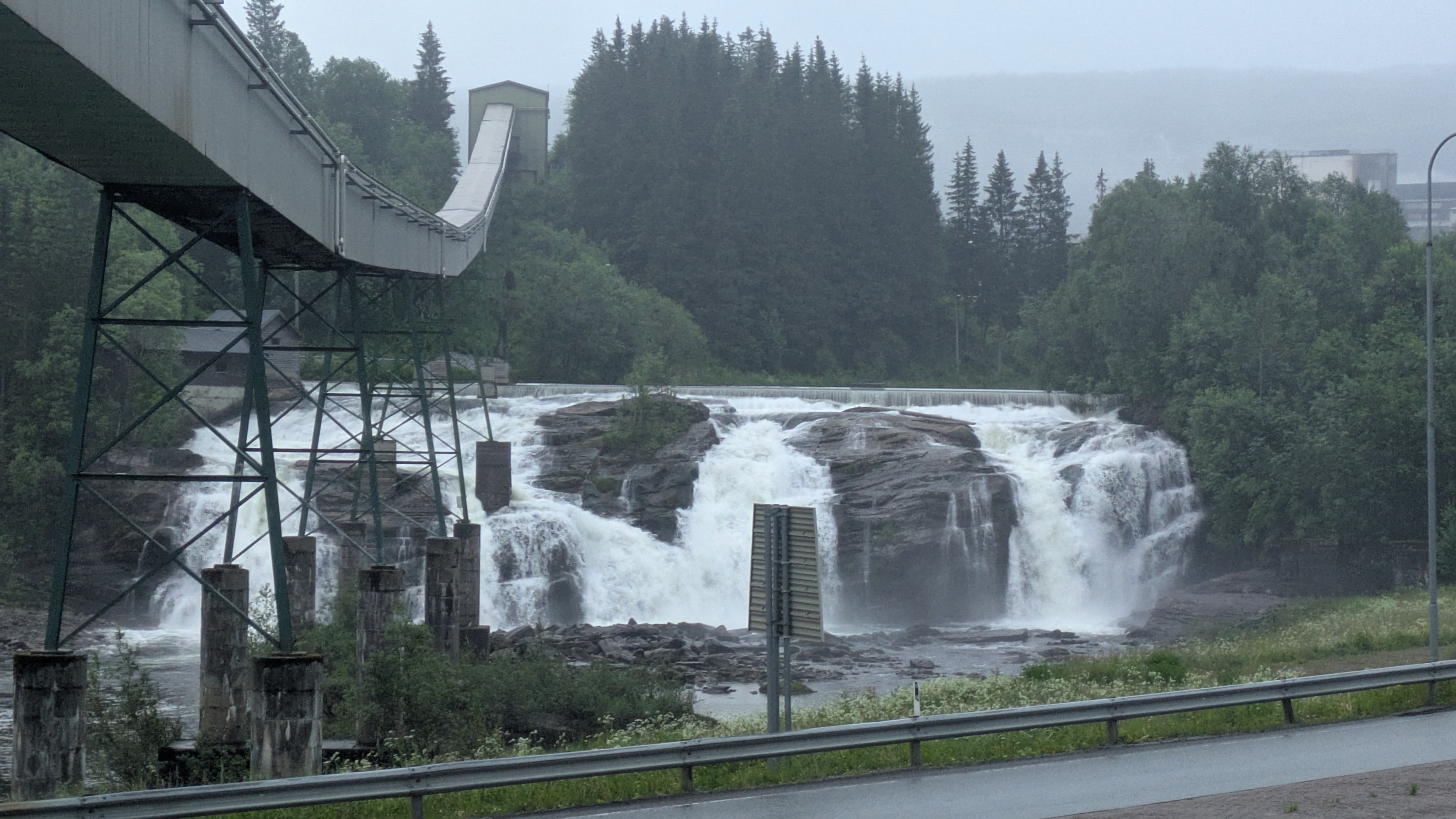
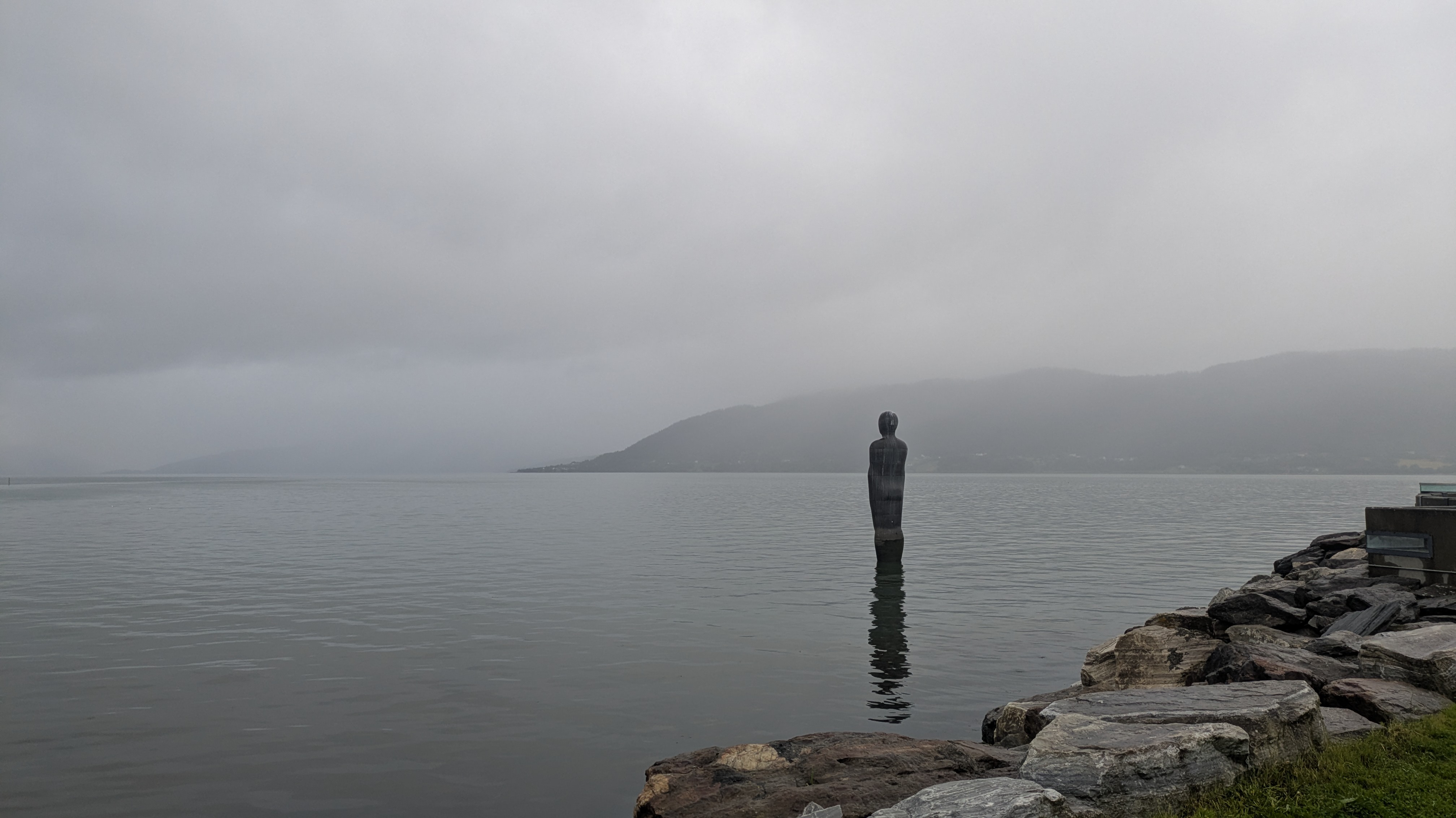
Mo i Rana too is tinted in a murky grayscale colorscheme, its mighty waterfall contributing even more humidity than the sea and the rain alone. No wonder the town's iconic sculpture is that of a man about to submerge himself in the port, going underwater is the logical next step. I spent about an hour here warming up, eating gas station pizza, planning my next move, and trying not to fall asleep for too long. Studying the map, I decided to ride on until Sandnessjoen as it provides the best ferry connections to the island of Donna, my next goal.
The Coast
Twenty kilometers outside Nesna I rejoined the EV1 long distance cycle route and immediately I started crossing paths regularly again with touring cyclists that are going north. One of them, a Lituanian fellow who I talked with at the supermarket in Nesna, rolls around on an ultra-heavy setup that includes "about 10 kg of camera equipment"; he intends to go south after Nordkapp, lugging his load all the way to Tarifa. He hadn't been dotwatching much and was bummed out to hear that Lael Wilcox had to scratch from her around the world record attempt due to the heatwave in Europe.
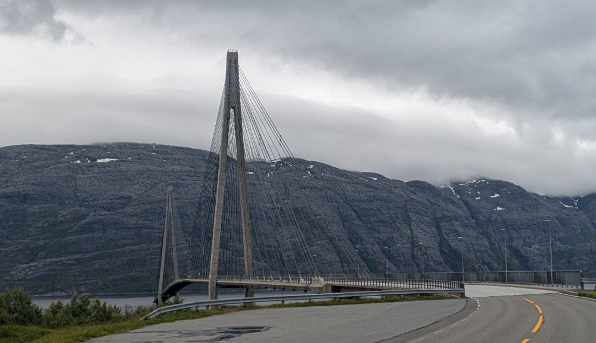
Inevitably I had just missed the ferry to Levang when I reached Nesna so I had lunch next to the pier before boarding the next sailing. Amazing that the tiny 100 ml gas cartridge that I bought in Lakselv still holds fuel. From Levang it was a quiet ride to Sandnessjoen, unspectacular except for the elegant suspension bridge over the Leirfjord. In town I did some boatspotting in the port where quite a few large vessels are moored that serve the Skarv offshore drilling project.
gps tracks
gallery